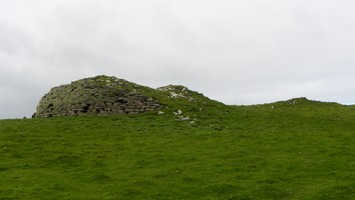
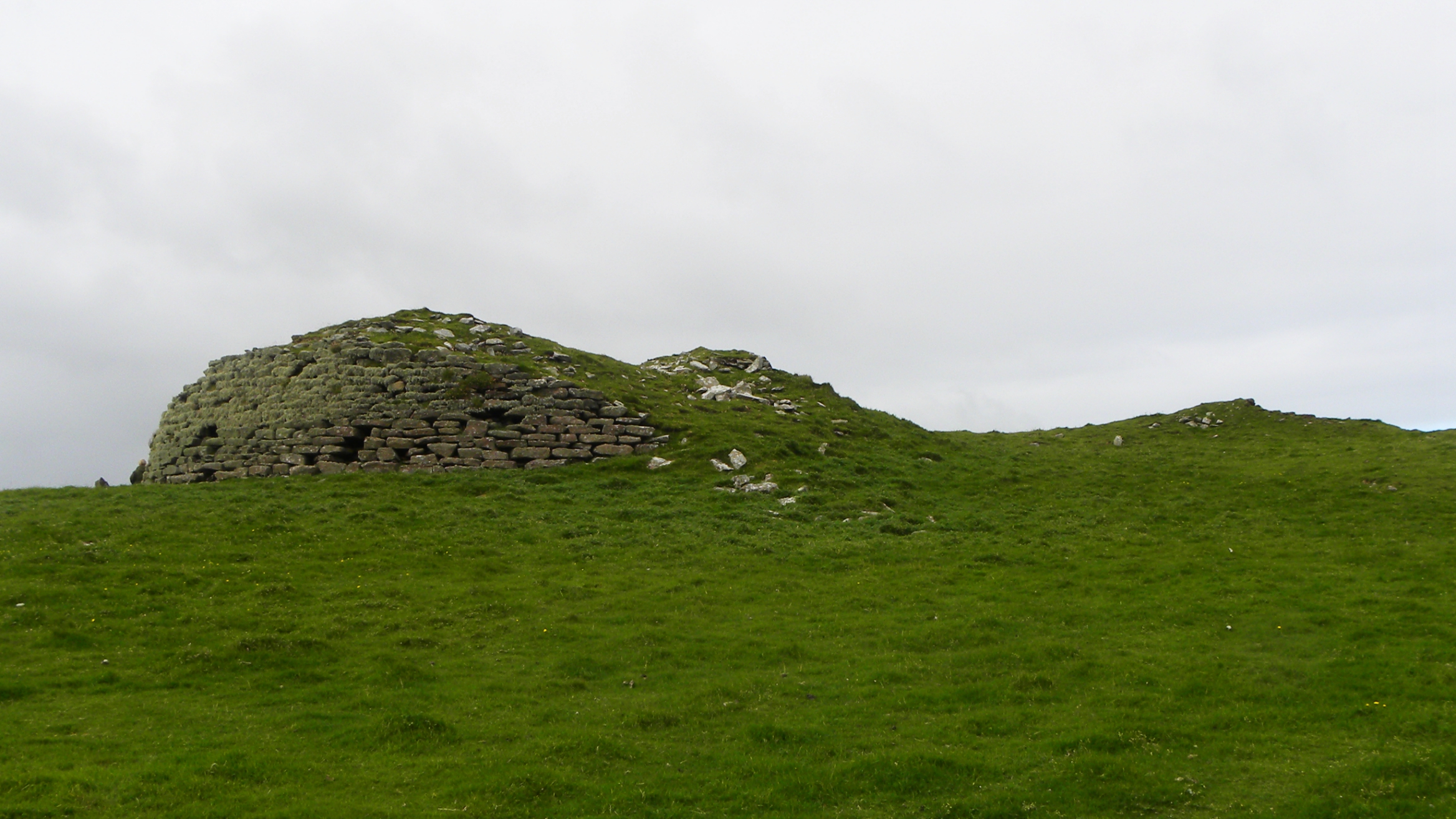
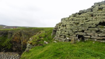
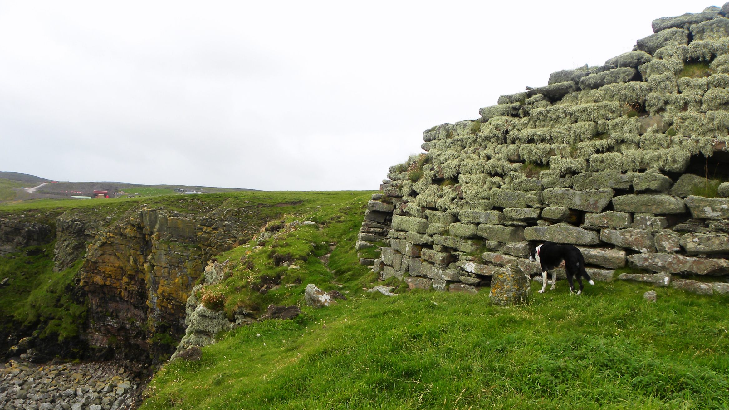
This probable broch with later modifications is a scheduled monument. It has a SW facing entrance with an exterior diameter of 19.5 metres, walls 4.5 metres width. To the north is a series of three walls and ditches that span the promontory which is about 45 metres. Numerous cells and galleries are visible and roughly two floors are still visible. A thorough description can be found on Canmore ID 998.
Location
444567.00
1136074.00
27700
60.1068420
-1.2002158
Submitted photographs
Image
Date
Caption
User
02/09/2015
The largest section of surviving broch wall
SteveJ
02/09/2015
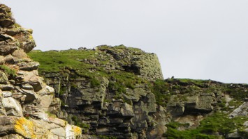
The broch with the three defensive walls and ditches
SteveJ
02/09/2015
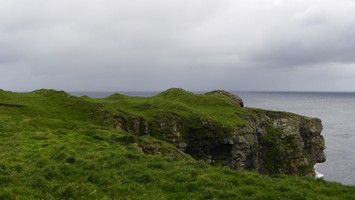
Showing the broch on the cliffs
SteveJ
02/09/2015
Broch of Burland
SteveJ
Submitted updates
Update id
Date
User
2221
02/09/2015
SteveJ
Tidal state
Mid
Site located?
Yes
Proximity to coast edge
Coast edge
Threats
structural damage/decay; other
Other threats
The entrance is now 1 metre from the cliff edge and has to be approached with caution. It appears this differs from past measurements and structural damage has also been recorded.
Visibility above ground
Highly visible (substantial remains)
Visibility in section
Limited visibility in section
Access
accessible on foot (no footpath)
Local knowledge
is well known
Description
This probable broch with later modifications is a scheduled monument. It has a SW facing entrance with an exterior diameter of 19.5 metres, walls 4.5 metres width. To the north is a series of three walls and ditches that span the promontory which is about 45 metres. Numerous cells and galleries are visible and roughly two floors are still visible. A thorough description can be found on Canmore, Event ID 575395.
Site should be actively monitored. Although scheduled, it may need intrusive recording if loss becomes imminent (more so).
Assign priority 3.