Sheabie was a depopulated settlement comprising 14 buildings of average size 11.5 x 4m internally, with walls up to 1.7m thick and 1m high. It also comprised some drystone enclosures. The name was still known locally in 1965, although the site was depopulated over 100 years previous, c.1850. Documentary evidence states that this baile was evacuated in 1697. It was then probably reoccupied during the 18th century and evacuated again during the Berneray clearances of 1853. The earlier settlement possibly still exists beneath the later settlement. The vicinity of the burial ground to this site has suggested that it was a clachan or church town. Fifteen buildings were recorded in 1968. A corn-drying kiln and a building with a barn and possible kiln attached were identified. One L-shaped and fourteen unroofed buildings, and four enclosures were depicted on the 1st edition OS map. One roofed and thirteen unroofed buildings, three enclosures and one burial ground are shown on the current edition OS map. Extensive site with evidence that some buildings may have been removed recently in order to extend the cemetery.
ShoreUPDATE 07/05/2016
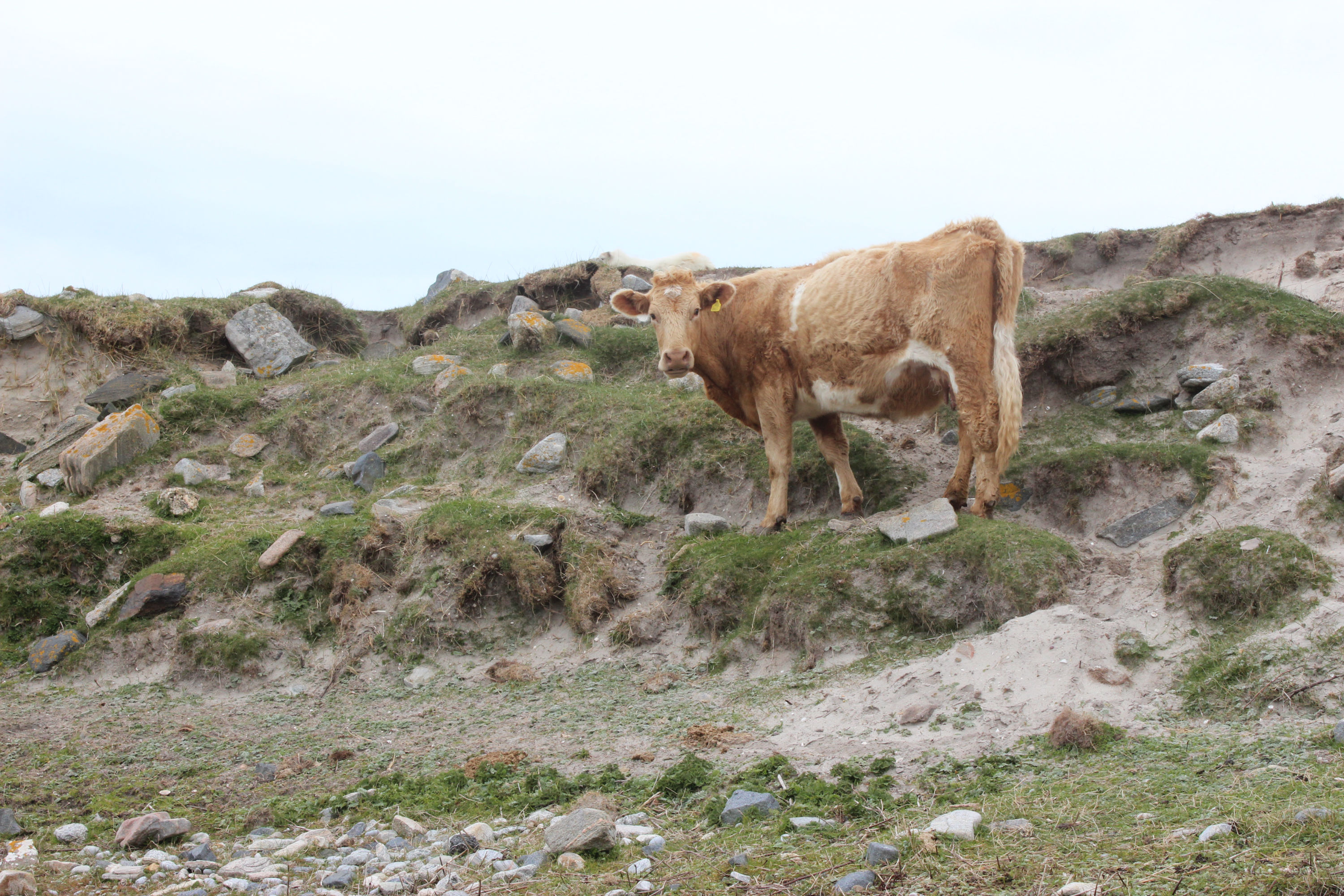
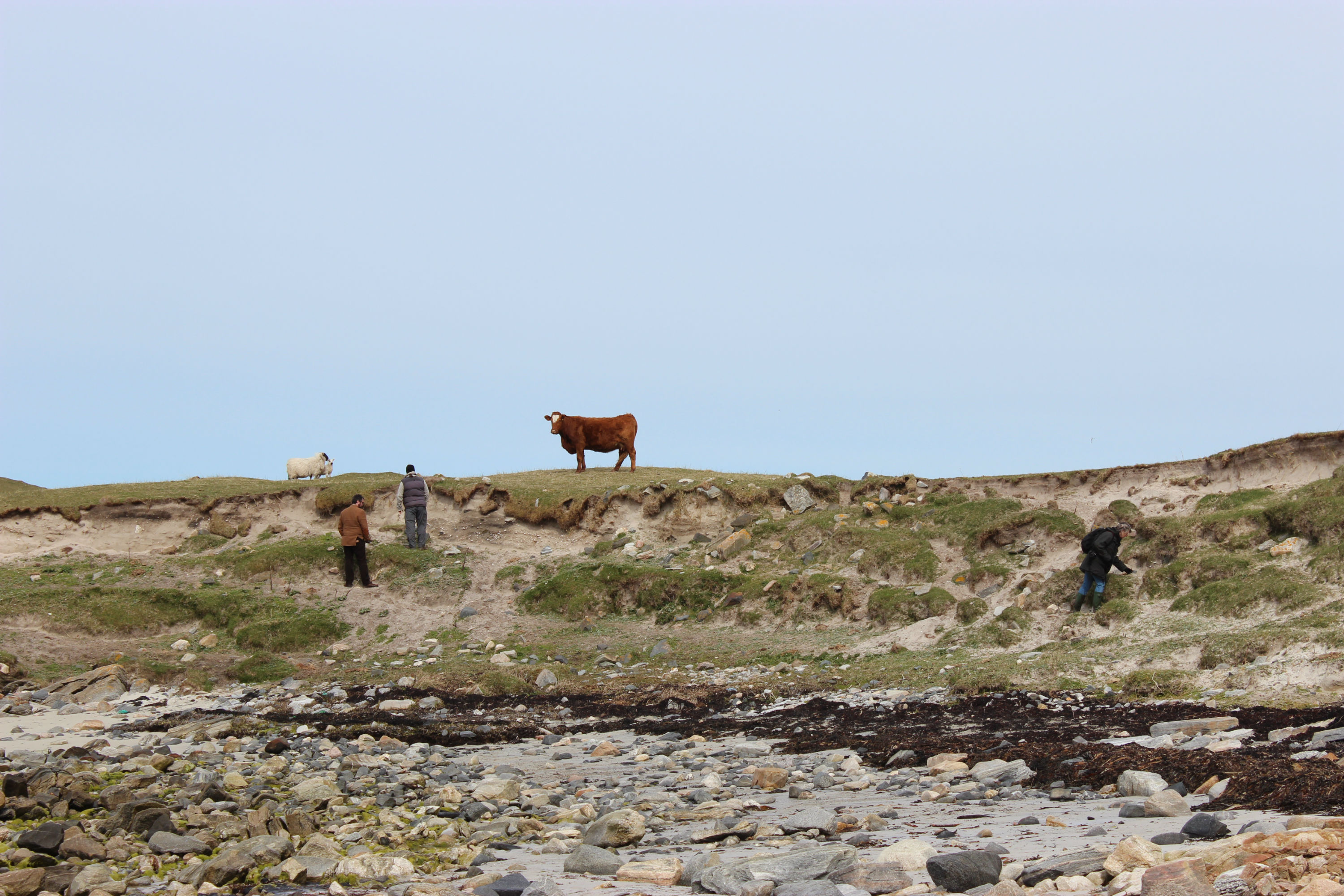
Stone structures and anthropogenic deposits visible in the eroding coast edge, including peat ash, charcoal, bone, shell, pottery, and iron working debris. Cattle have access to the foreshore here and are likely the main cause of damage to the section, rather than coastal erosion.
Location
89700.00
880200.00
27700
57.7040901
-7.2113204
Submitted photographs
Image
Date
Caption
User
07/05/2016
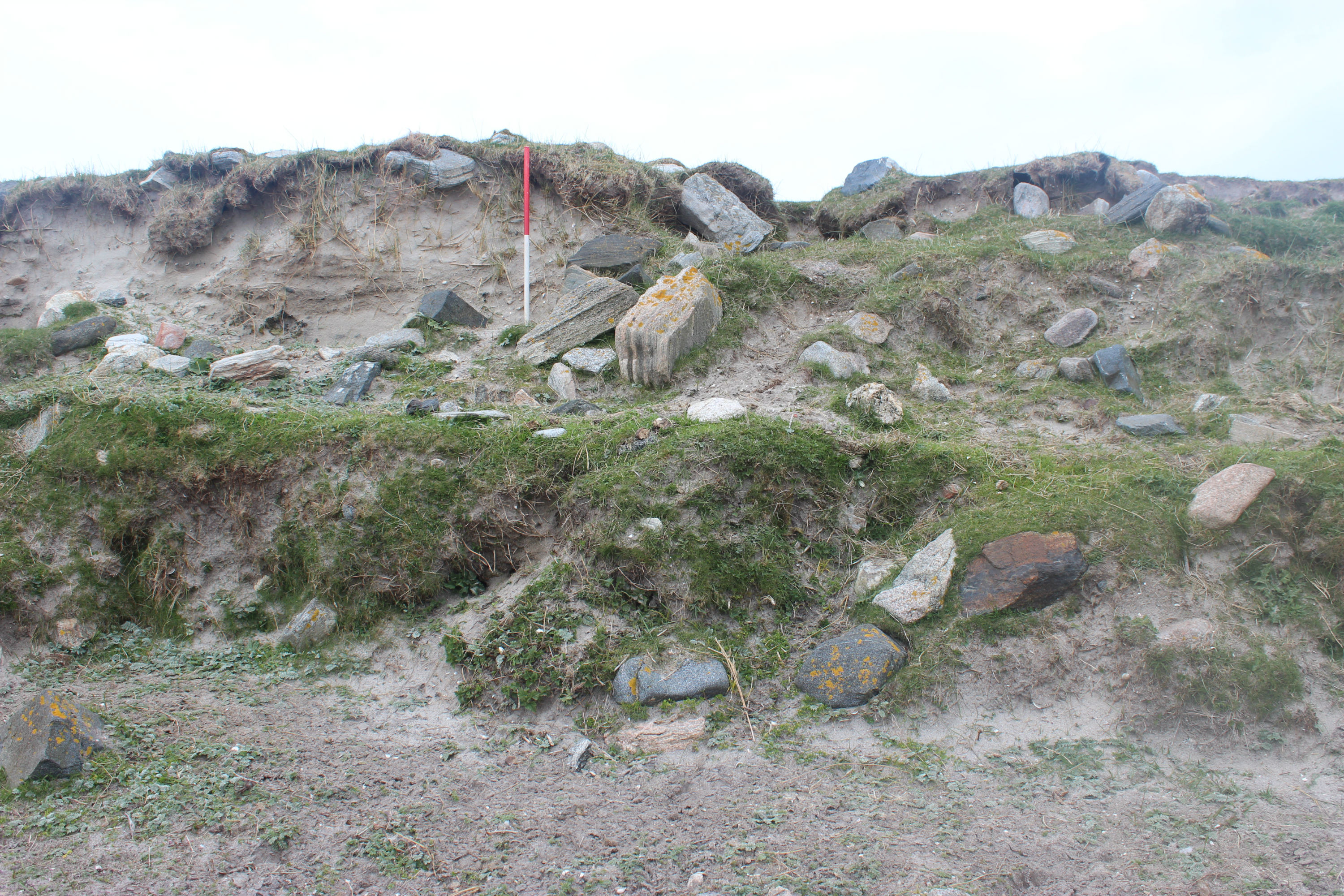
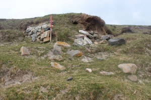
Eroded coast edge with stone structures and slumped stonework
training1
07/05/2016
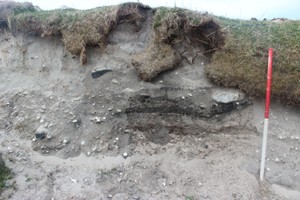
Cleaned deposits exposed in section
training1
07/05/2016
Detail of stone walling visible in section
training1
07/05/2016
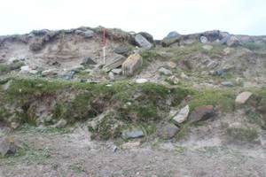
Stonework is coast edge, with likely cause of damage
training1
07/05/2016
General view of eroding coast edge
training1
Submitted updates
Update id
Date
User
2654
07/05/2016
training1
Tidal state
Low
Site located?
Yes
Proximity to coast edge
Coast edge
Coastally eroding?
active sea erosion; has eroded in the past
Threats
stock erosion
Visibility above ground
Highly visible (substantial remains)
Visibility in section
Clearly visible in section
Access
easily accessible - no restrictions; vehicular access
Description
Sheabie was a depopulated settlement comprising 14 buildings of average size 11.5 x 4m internally, with walls up to 1.7m thick and 1m high. It also comprised some drystone enclosures. The name was still known locally in 1965, although the site was depopulated over 100 years previous, c.1850. Documentary evidence states that this baile was evacuated in 1697. It was then probably reoccupied during the 18th century and evacuated again during the Berneray clearances of 1853. The earlier settlement possibly still exists beneath the later settlement. The vicinity of the burial ground to this site has suggested that it was a clachan or church town. Fifteen buildings were recorded in 1968. A corn-drying kiln and a building with a barn and possible kiln attached were identified. One L-shaped and fourteen unroofed buildings, and four enclosures were depicted on the 1st edition OS map. One roofed and thirteen unroofed buildings, three enclosures and one burial ground are shown on the current edition OS map. Extensive site with evidence that some buildings may have been removed recently in order to extend the cemetery.
ShoreUPDATE 07/05/2016
Stone structures and anthropogenic deposits visible in the eroding coast edge, including peat ash, charcoal, bone, shell, pottery, and iron working debris. Cattle have access to the foreshore here and are likely the main cause of damage to the section, rather than coastal erosion.