Kildonan Point (8676)
Description
| See CANMORE or WoSAS record ShoreUPDATE 23/06/15 Substantial earthworks on the promontory are under no threat from coastal erosion. A sub-rectangular annexe enclosure lies on the north west side at the base of the slope. It is defined by substanial stone and earth banks standing at least 2m high. The north west corner of this enclosure lies on the coast edge and is being slightly eroded. |
Location
| 178240.00 | |
| 627150.00 | |
| 27700 | |
| 55.4876976 | |
| -5.5116372 |
Submitted photographs
| Image | Date | Caption | User |
|---|---|---|---|

|
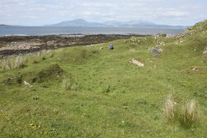
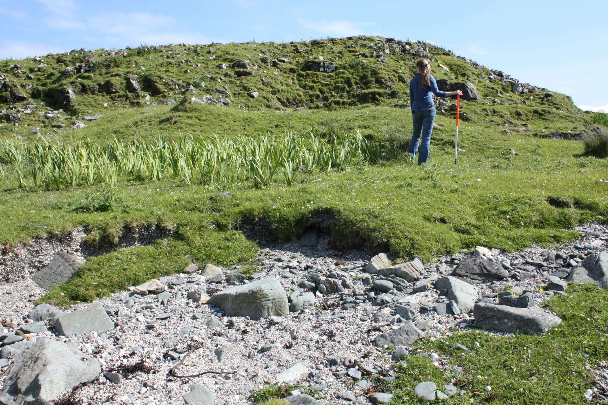
26/06/2015 | Kildonan Point, view of the lower enclosure from the promontory fort | training1 |
|
|||
|
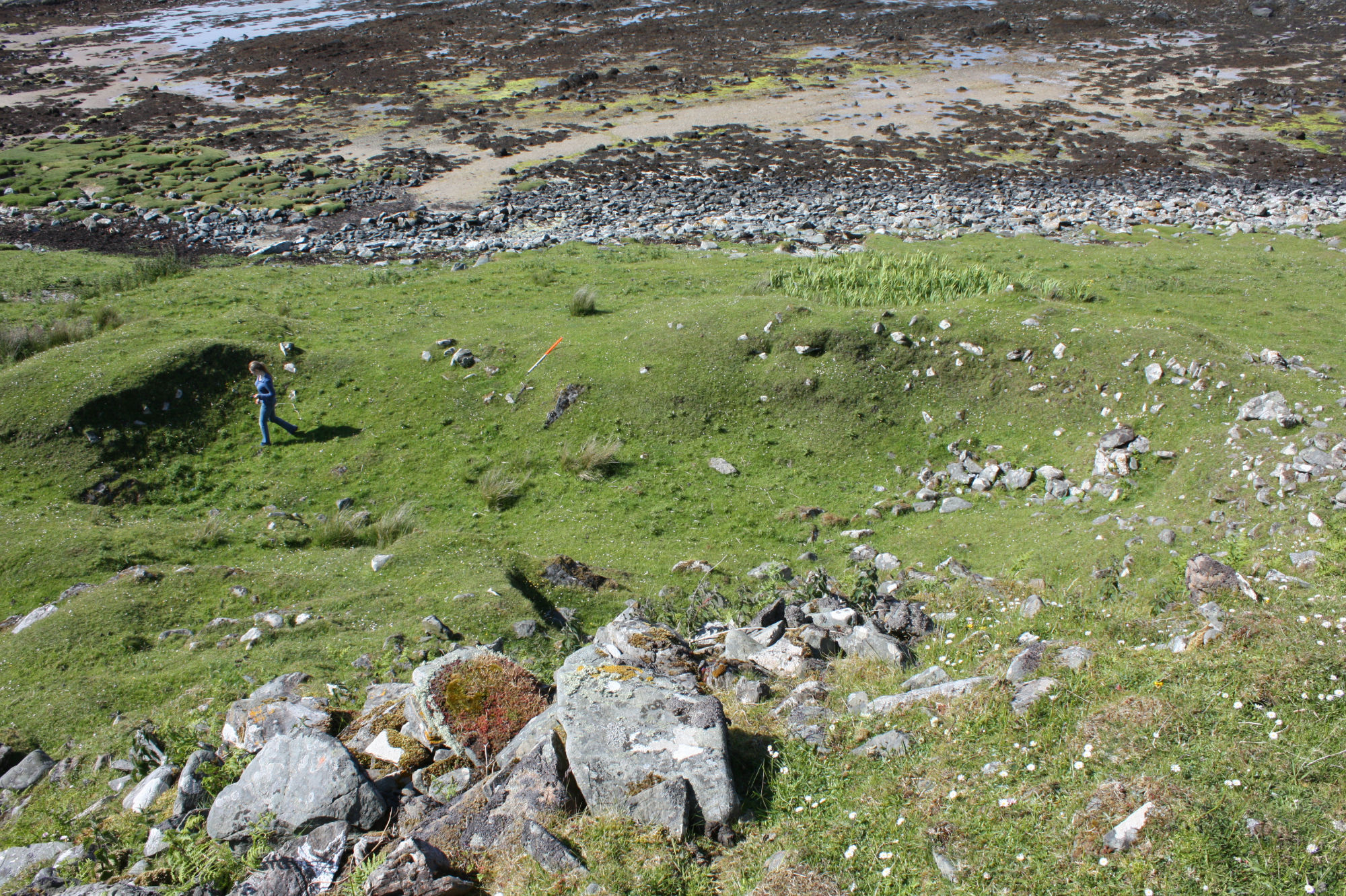
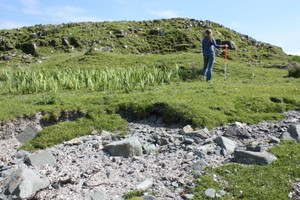
26/06/2015 | Kildonan Point, view of lower enclosure from above | training1 |
|
|||
|
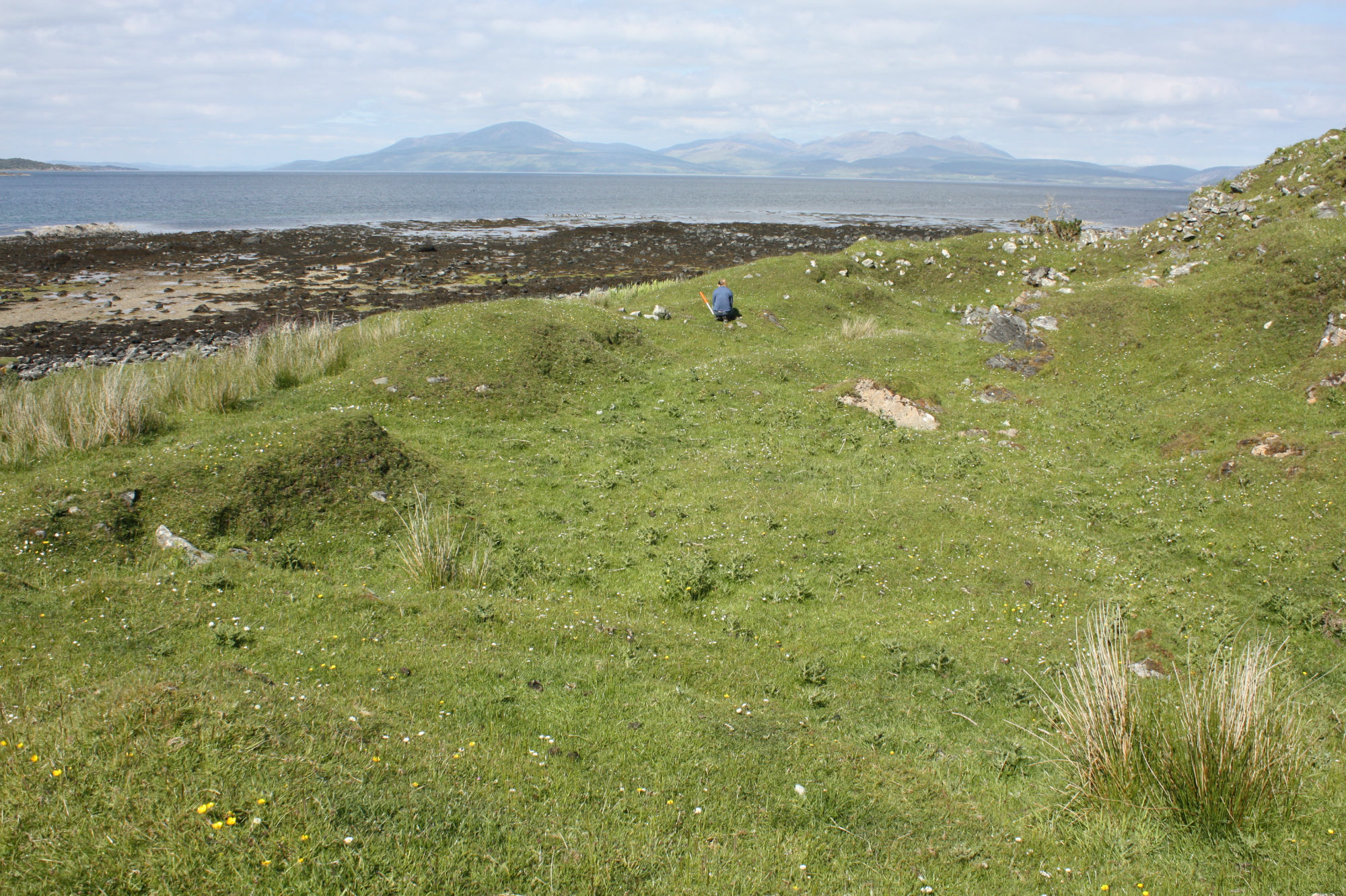
26/06/2015 | Kildonan Point, general view of the fort from the coast edge | training1 |
|
|||
|
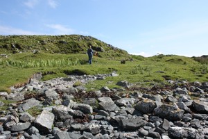
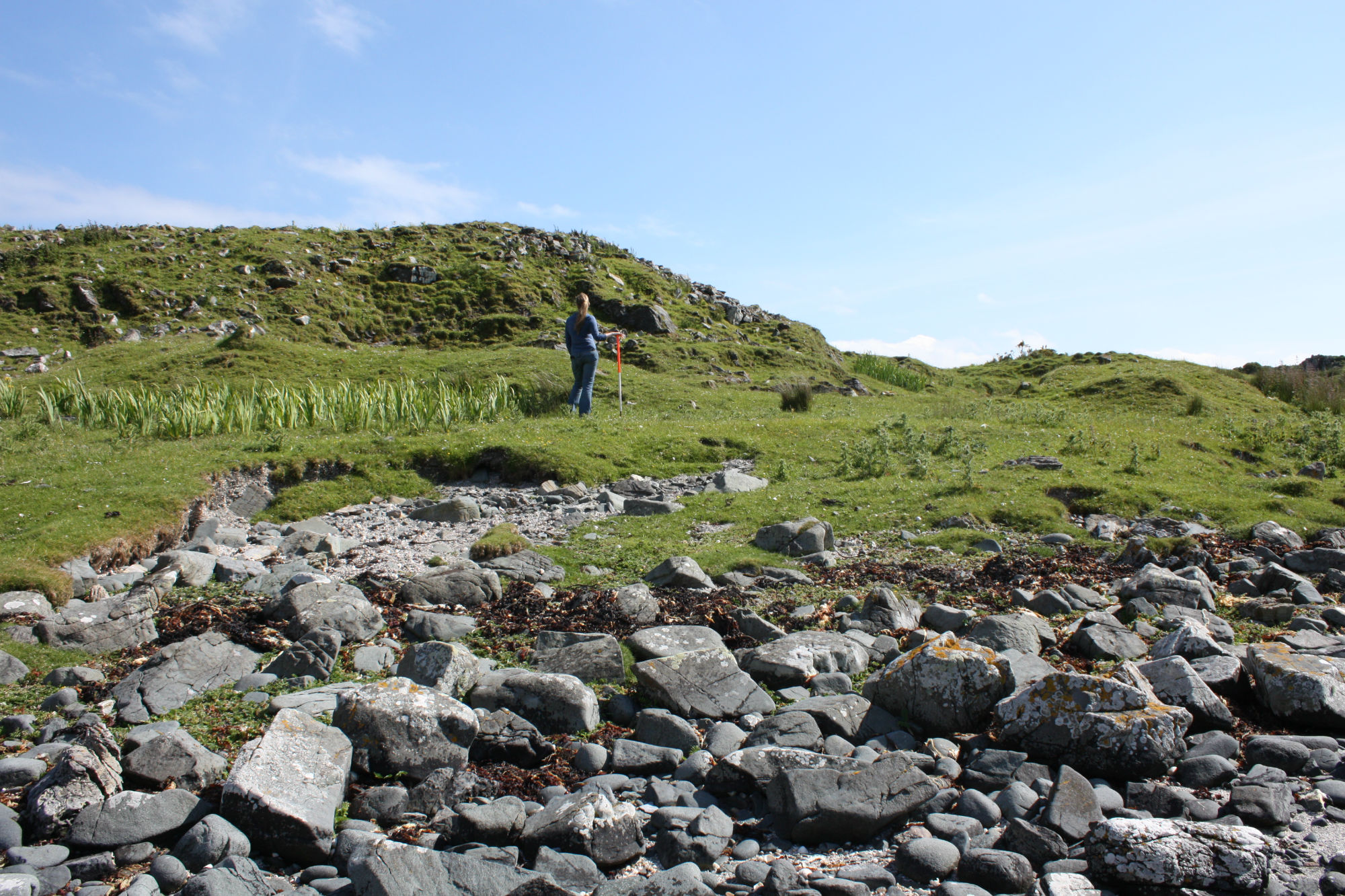
26/06/2015 | Kildonan Point, view of the lower enclosure from the coast edge | training1 |
|
|||
Submitted updates
No updates found