Prestwick, Salt Pan Houses (7627)
Description
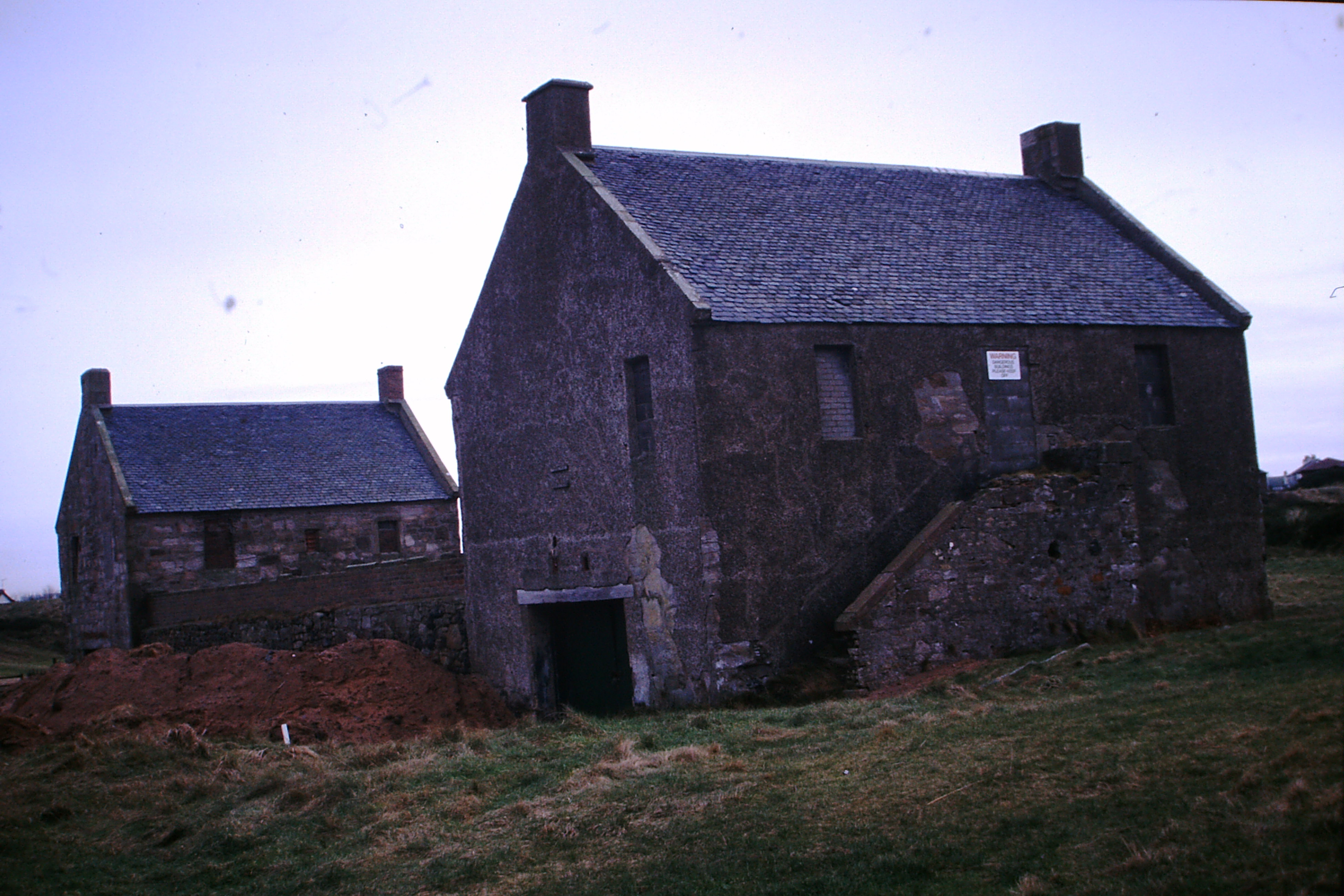
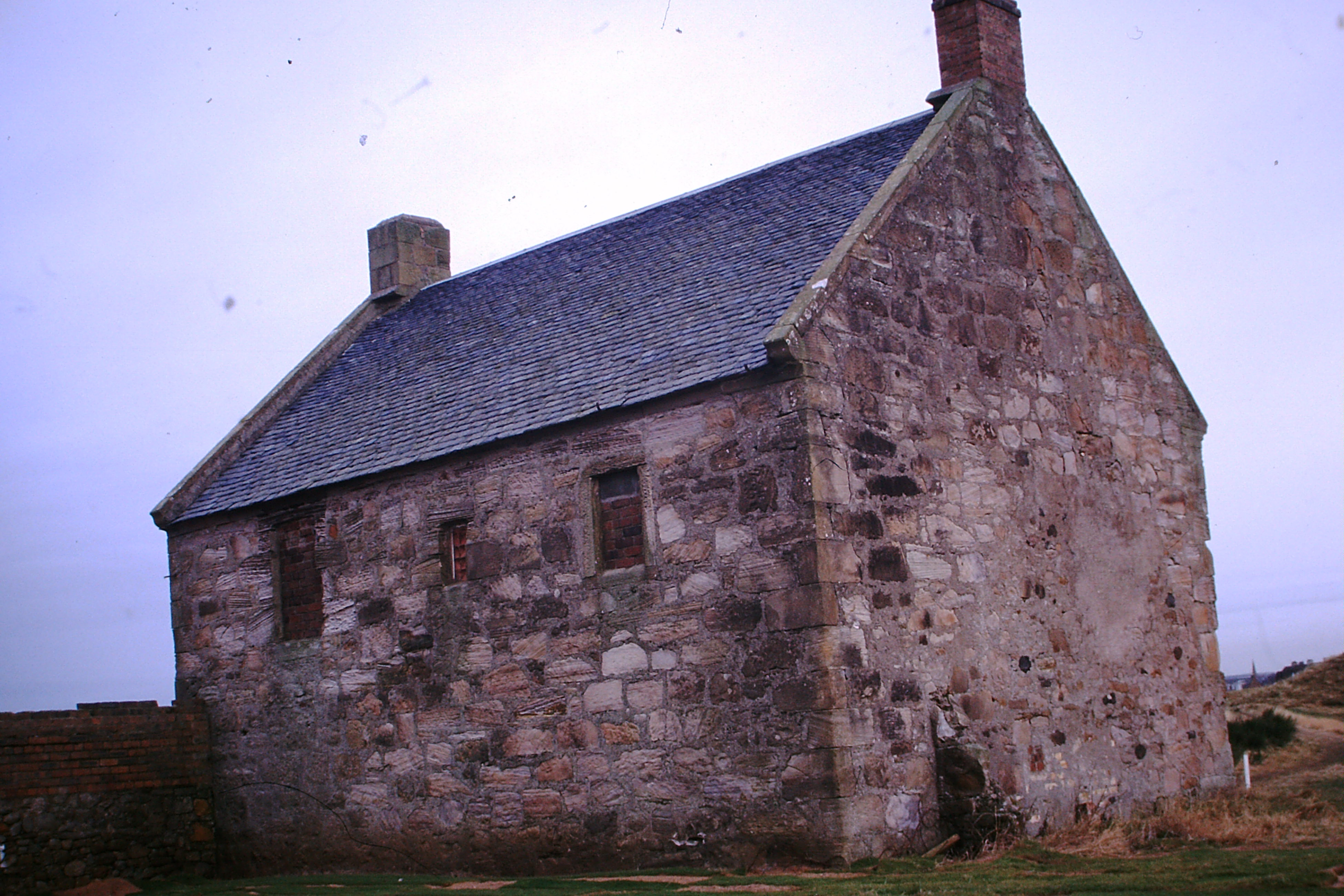
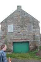
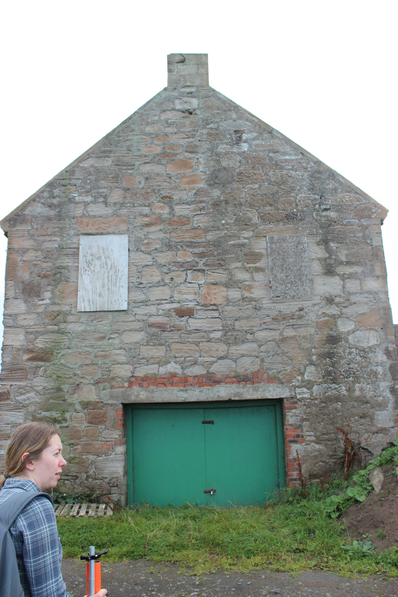
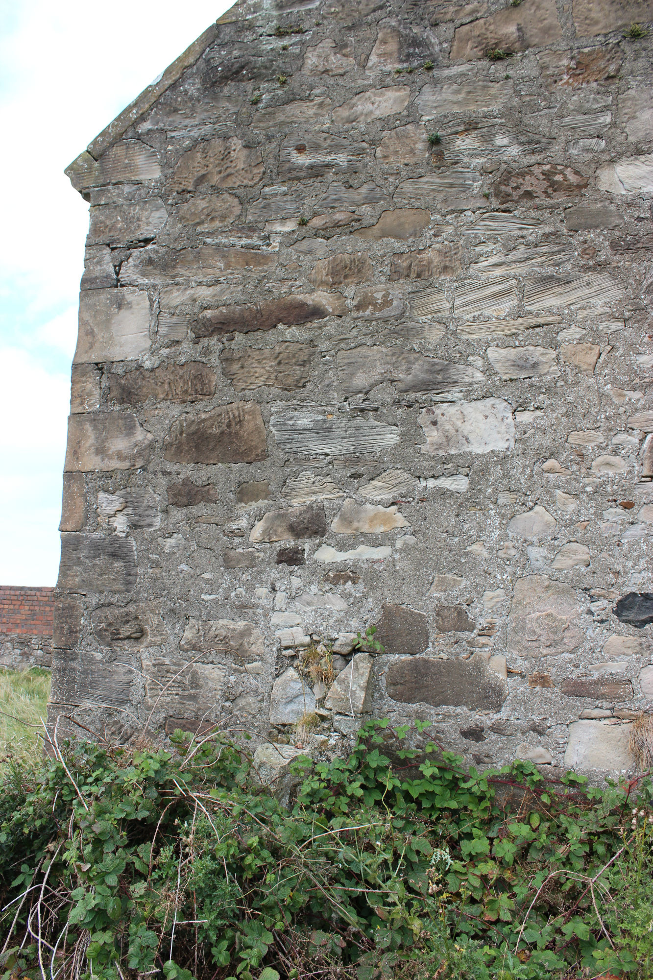
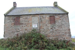
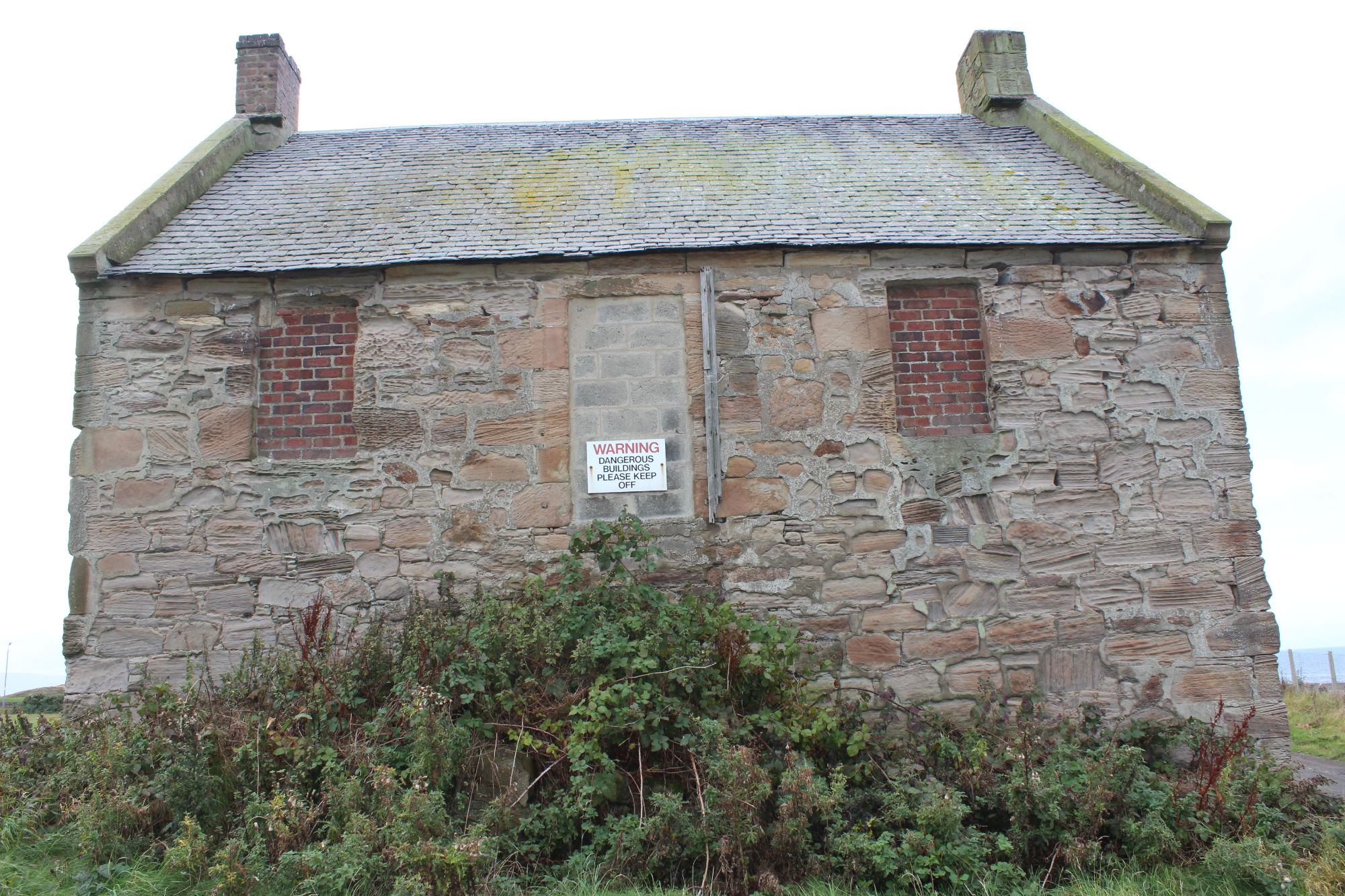
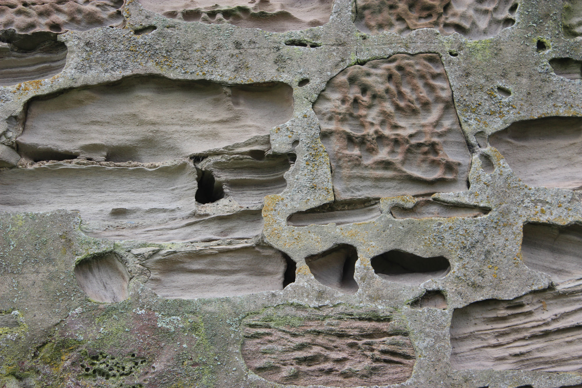
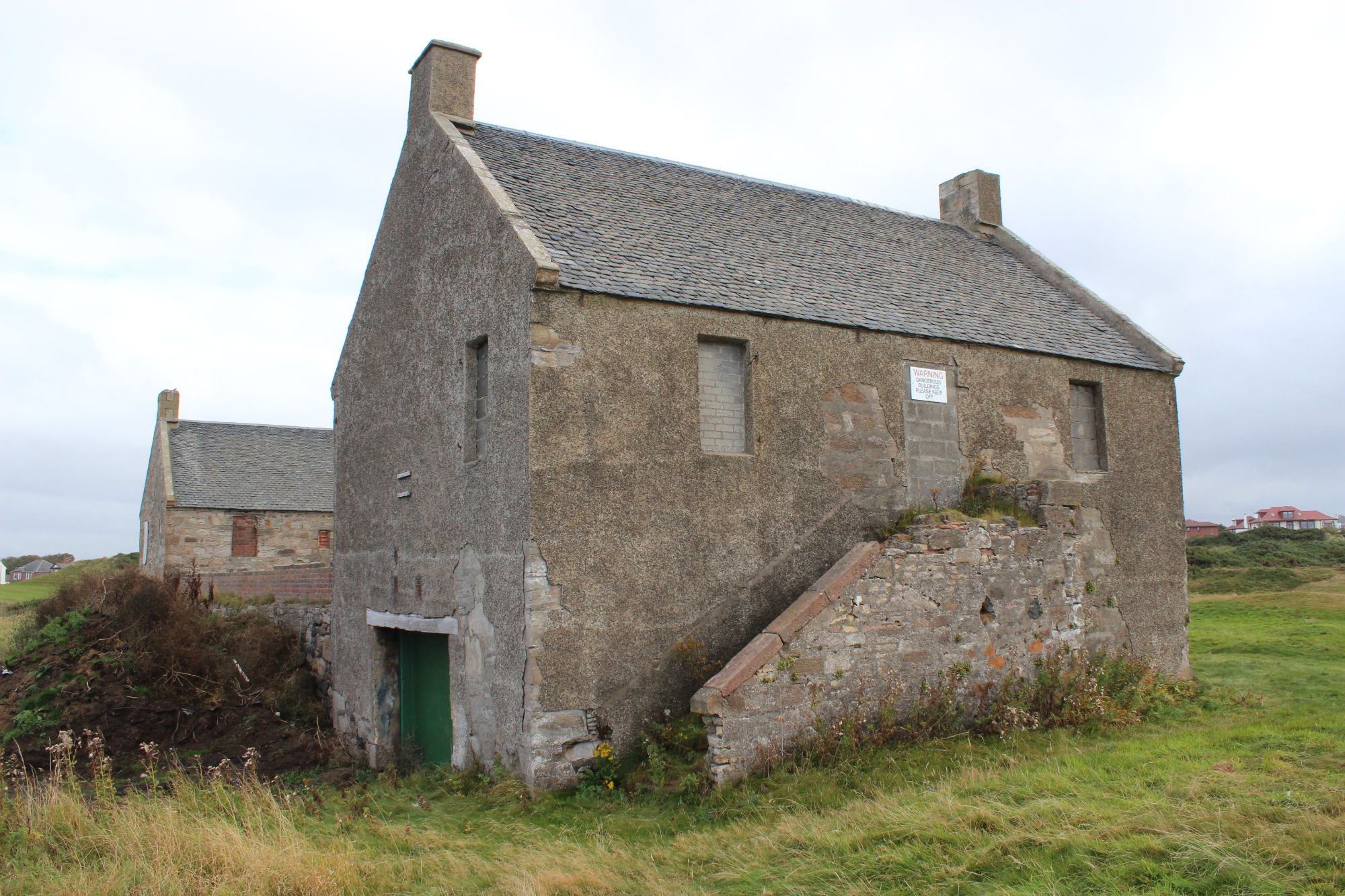
| A 45. Built circa 1760 for the salt boiling industry the buildings were probably salt pans with housing above. The blocks are 2-storey, rectangular in plan, gabled, with end stacks. The buildings are well preserved. Survey description 2003: On the edge of the Golf Course who use it for storage of equipment, access to the interior controlled by the Greenkeeper. A gravelled track currently lies immediately to the north of the structures and between this track and the connecting wall, there is a large dump of bunker sand storage. This wall is of two phases, the latest of brick, the lower of dressed and mortared freestone. ShoreUPDATE 06-10-2015: Canmore has a full description of these A listed buildings which are on the Buildings at Risk register. The buildings are dilapidated and in disrepair. The roofs appear sound. However, there is serious erosion of the mortar bonding of the external walls probably caused/exacerbated by now patchy cement rendering. Pigeons were observed entering and leaving the buildings on the site visit. Vegetation growth especially on the east side of the east pan house may be damaging the structure. |
Location
| 234354.50 | |
| 625008.08 | |
| 27700 | |
| 55.4907163 | |
| -4.6233812 |
Submitted photographs
| Image | Date | Caption | User |
|---|---|---|---|
|
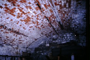
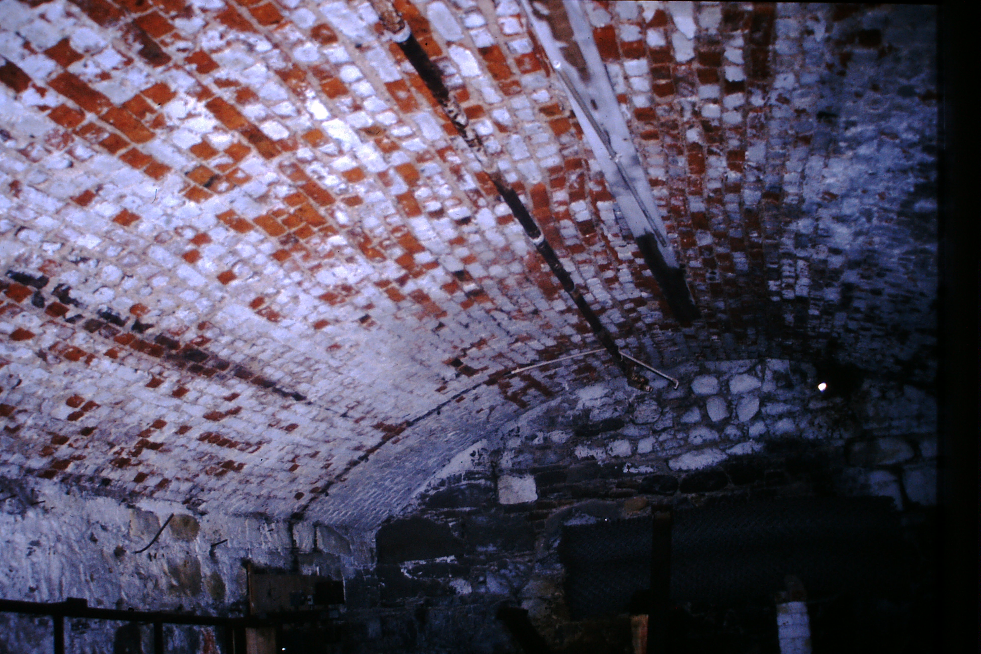
07/02/2003 | Prestwick Salt Pans - view of internal vault arch., | ianm |
|
|||

|
07/02/2003 | South Pan House Prestwick. | ianm |
|
|||
|
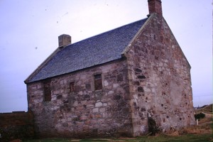
07/02/2003 | East face of the north Salt Pan House Prestwick | ianm |
|
|||
|
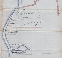
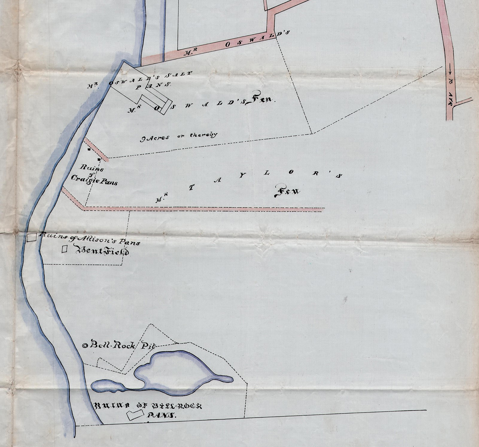
06/10/2015 | 'Plan of part of the lands of Prestwick belonging to the Freeholders, 1814'. The pans are identified as Mr Oswald's Pans | training1 |
|
|||
|
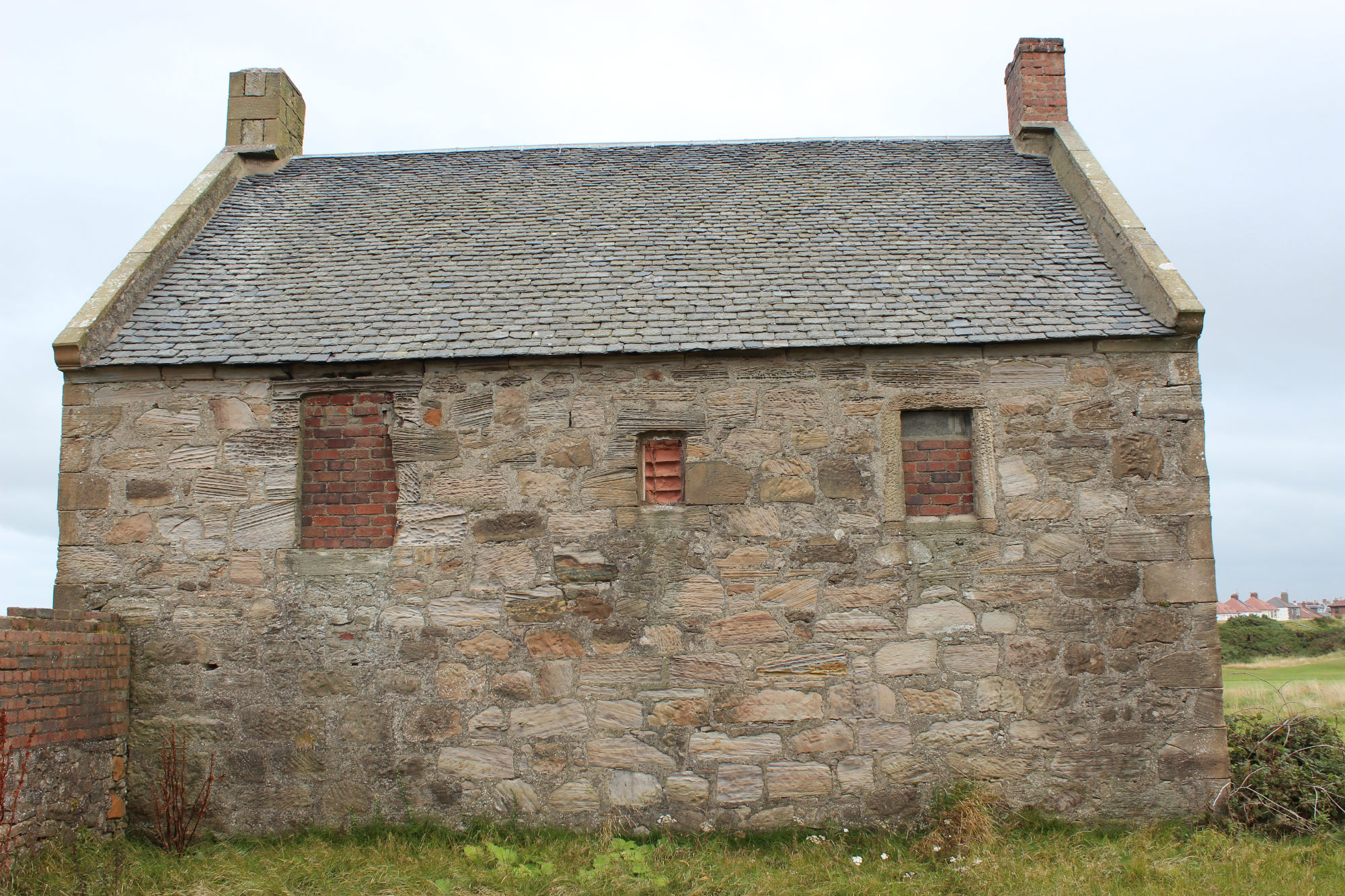
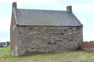
06/10/2015 | Seaward gable end of east pan house. Looking S | training1 |
|
|||

|
06/10/2015 | Landward gable of east pan house showing remains of an earlier wall projecting from the gable wall. Looking N | training1 |
|
|||
|
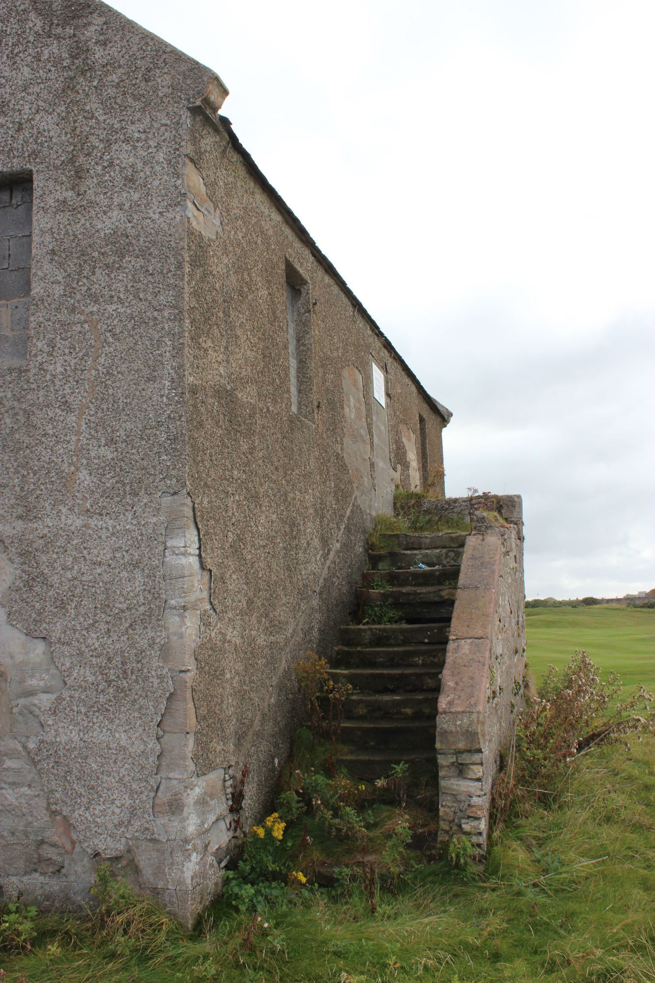
06/10/2015 | East wall of east pan house. Vegetation is obscuring the partially demolished stair. Looking W | training1 |
|
|||
|
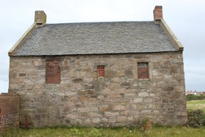
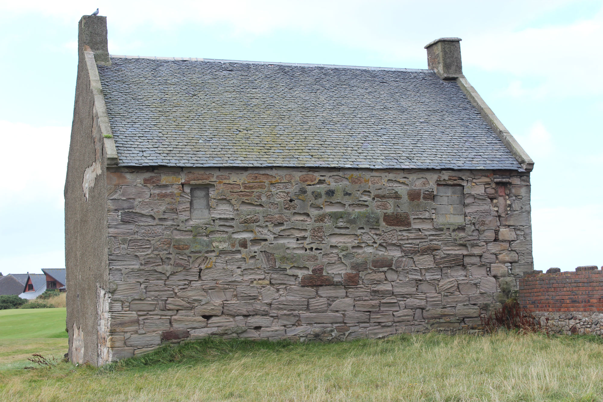
06/10/2015 | West wall of east pan house. Looking E | training1 |
|
|||
|
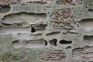
06/10/2015 | Detail of eroding mortar | training1 |
|
|||
|
06/10/2015 | East wall of west pan house showing erosion of mortar | training1 |
|
|||
|
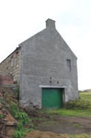
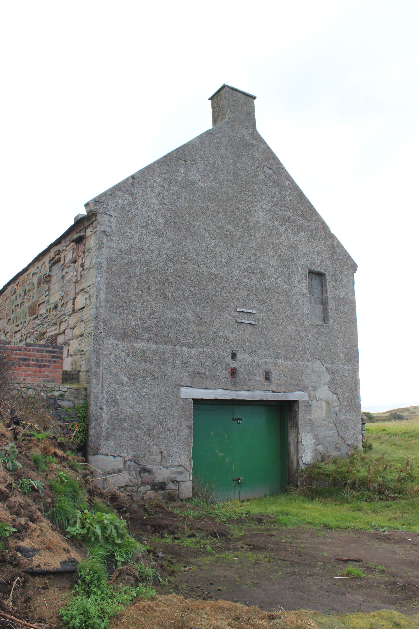
06/10/2015 | Seaward gable end of west pan house. Looking S | training1 |
|
|||

|
06/10/2015 | External stair of west pan house. Looking S | training1 |
|
|||

|
06/10/2015 | Pan houses looking east | training1 |
|
|||
Submitted updates
| Update id | Date | User | ||||||||||||||||||||||
|---|---|---|---|---|---|---|---|---|---|---|---|---|---|---|---|---|---|---|---|---|---|---|---|---|
| 2338 | 07/02/2003 | ianm | ||||||||||||||||||||||
|
||||||||||||||||||||||||
| 2236 | 06/10/2015 | training1 | ||||||||||||||||||||||
|
||||||||||||||||||||||||