A spread of stone, shell and animal bone associated with a probable old ground surface is exposed in the base of a blow out within an area of high dunes. Small scraps of flint and pumice are also present, although no tools or debitage was noted. The spread extends over an area measuring some 20m by 10m. Previous work in this area by RCAHMS uncovered an inhumation burial with a beaker vessel within a stone setting and associated with anthropogenic spreads. The area is unstable and liable to erode rapidly. It is recommended that a full survey together with methodical collection be carried out without delay and that the area be kept under surveillance for the appearance of new exposures.References: Ritchie and Crawford, 1980.
ShoreUPDATE 15/02/17, as described above.
Location
127179.00
763869.00
27700
56.6866531
-6.4569383
Submitted photographs
Image
Date
Caption
User
15/02/2017
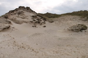
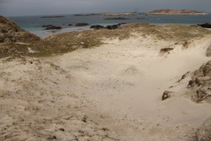
Spread of material and old ground surface showing unstable dunes surrounding
Callum
15/02/2017
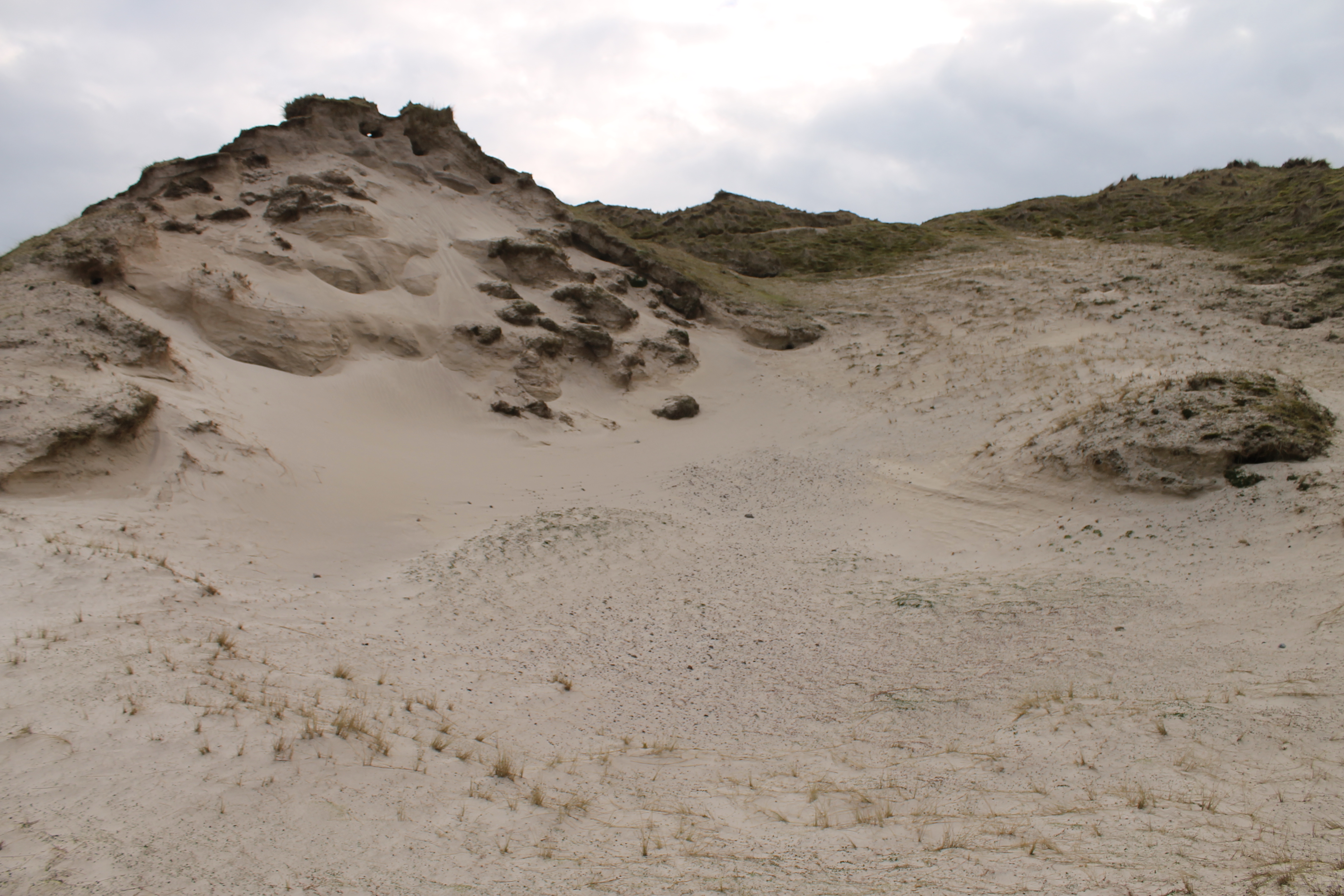
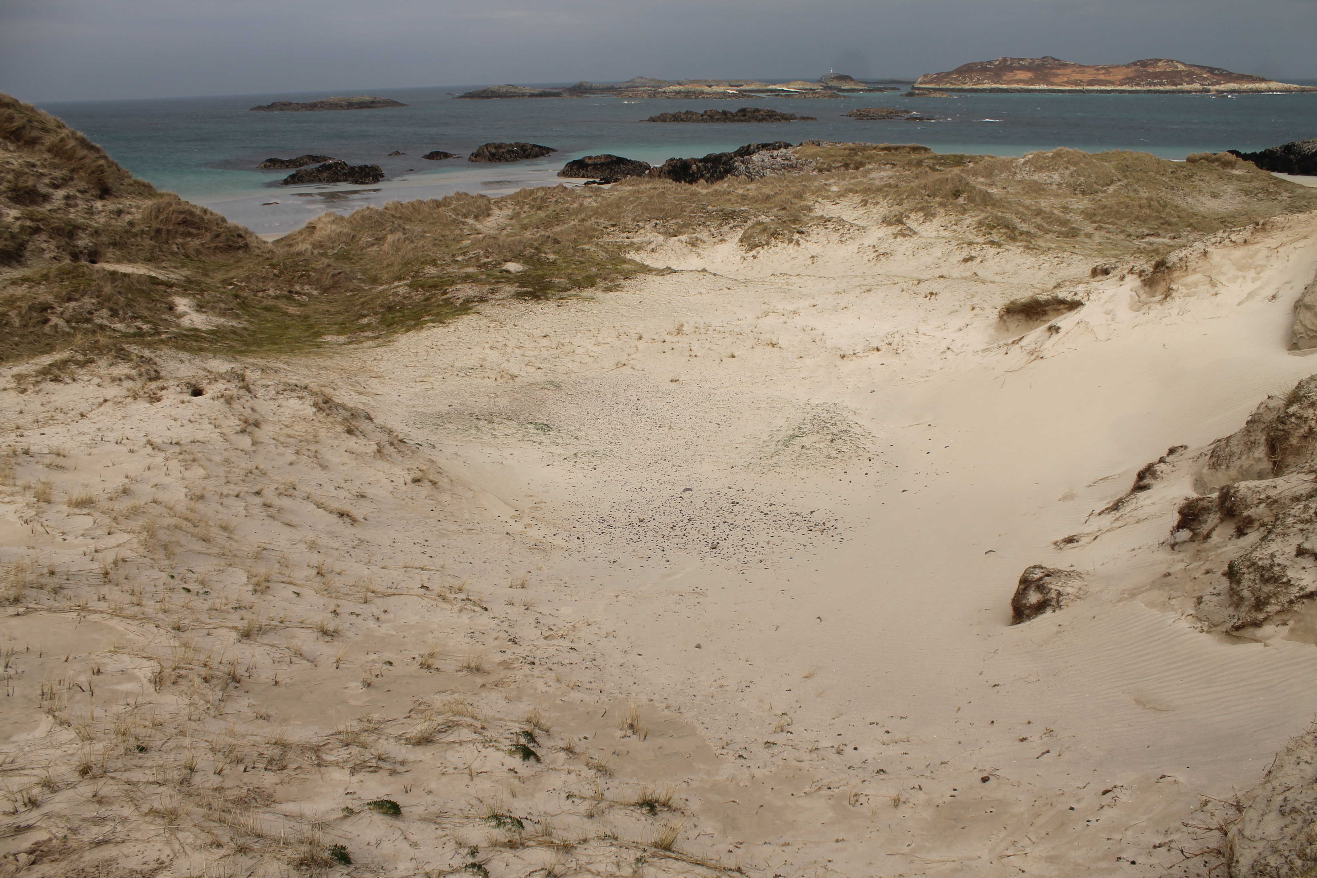
Old ground surface and cultural material in base of blow out
Callum
Submitted updates
Update id
Date
User
2845
15/02/2017
Callum
Tidal state
Low
Site located?
Yes
Proximity to coast edge
>50m
Coastally eroding?
active wind erosion (in dunes only); has eroded in the past
Threats
animal burrows
Visibility above ground
Limited visibility (partial remains)
Access
accessible - difficult terrain
Local knowledge
is not locally known
Description
A spread of stone, shell and animal bone associated with a probable old ground surface is exposed in the base of a blow out within an area of high dunes. Small scraps of flint and pumice are also present, although no tools or debitage was noted. The spread extends over an area measuring some 20m by 10m. Previous work in this area by RCAHMS uncovered an inhumation burial with a beaker vessel within a stone setting and associated with anthropogenic spreads. The area is unstable and liable to erode rapidly. It is recommended that a full survey together with methodical collection be carried out without delay and that the area be kept under surveillance for the appearance of new exposures.References: Ritchie and Crawford, 1980.
ShoreUPDATE 15/02/17, as described above.
Further survey and investigation. Retain priority score, possibly reassign priority 2.