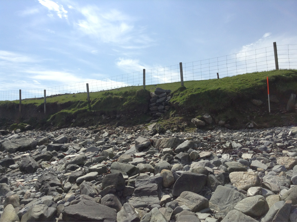
Archaeological deposits, representing at least two distinct phases of activity, are exposed in a coastal section. This exposure measured some 30m in length and was actively eroding. Towards the base of the section, a compact dark brown soil contained charcoal flecks and may be an anthropogenic deposit relating to a stone structure. The nature of this structure was not apparent; in section it appeared as discontinuous stretches of dry stone walling. One sherd of Iron Age type pot was recovered from amongst the stones. The walling was covered with a 0.3m thick layer of windblown sand. Above this was a mixed soil deposit which contained flecks of charcoal, shell and bone. The uppermost layer seen in section was a well drained 0.5m thick layer of loamy topsoil. To the south of this exposure, a concentration of shell was visible in section, and further along, there was a noost with stone revetted walls. Small fragments of walling were partially exposed in section for about 100m, ending in the vicinity of a stone dyke.
29/05/14
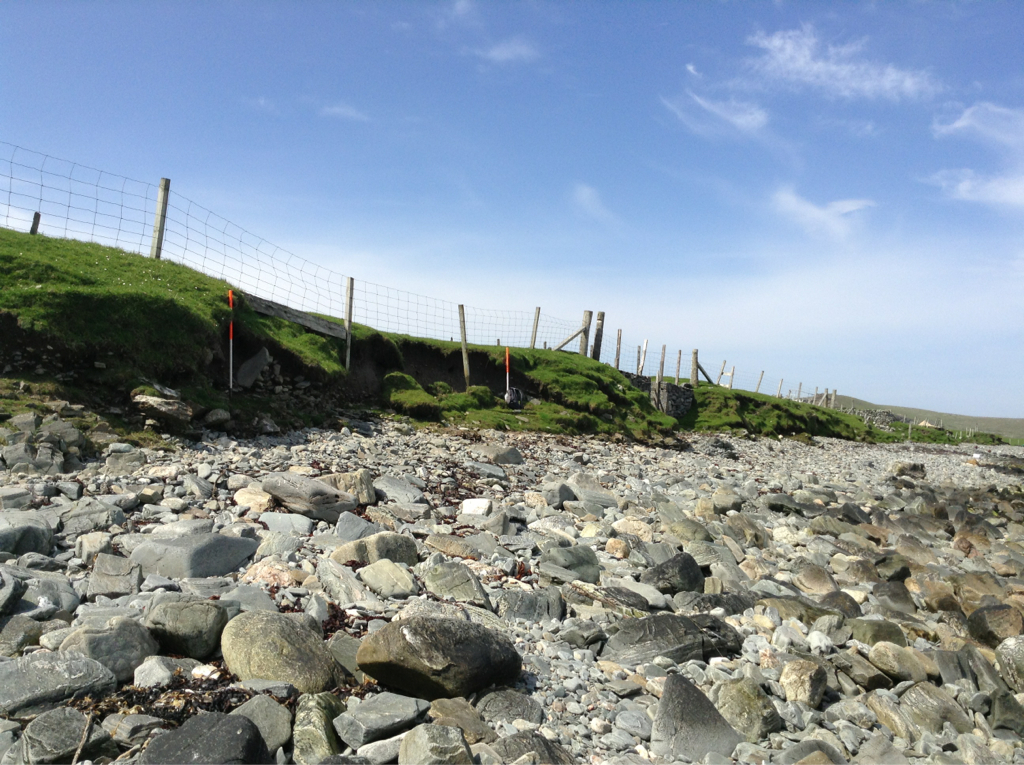
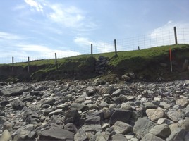
Not as described. Vegetated hard coast edge with intermittent dry stone walling probably associated with ruined farmstead.
No archaeological material observed.
Location
436300.00
1130200.00
27700
60.0549202
-1.3499330
Submitted photographs
Image
Date
Caption
User
29/05/2014
To show general nature of coast edge, looking northwest
training1
29/05/2014
To show general nature of coast edge, looking west
training1
Submitted updates
Update id
Date
User
1655
29/05/2014
training1
Tidal state
Mid
Site located?
Yes
Proximity to coast edge
Coast edge
Coastally eroding?
has eroded in the past
Visibility above ground
Not visible
Visibility in section
Not visible
Access
accessible on foot (no footpath)
Local knowledge
don't know
Description
Archaeological deposits, representing at least two distinct phases of activity, are exposed in a coastal section. This exposure measured some 30m in length and was actively eroding. Towards the base of the section, a compact dark brown soil contained charcoal flecks and may be an anthropogenic deposit relating to a stone structure. The nature of this structure was not apparent; in section it appeared as discontinuous stretches of dry stone walling. One sherd of Iron Age type pot was recovered from amongst the stones. The walling was covered with a 0.3m thick layer of windblown sand. Above this was a mixed soil deposit which contained flecks of charcoal, shell and bone. The uppermost layer seen in section was a well drained 0.5m thick layer of loamy topsoil. To the south of this exposure, a concentration of shell was visible in section, and further along, there was a noost with stone revetted walls. Small fragments of walling were partially exposed in section for about 100m, ending in the vicinity of a stone dyke.
29/05/14
Not as described. Vegetated hard coast edge with intermittent dry stone walling probably associated with ruined farmstead.
No archaeological material observed.