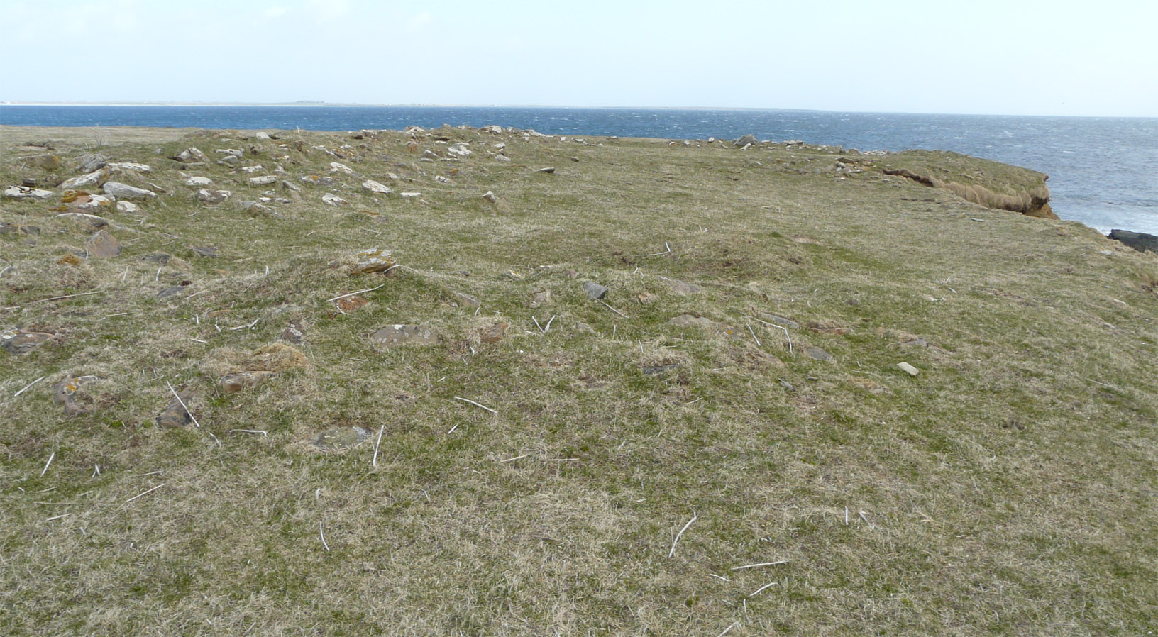
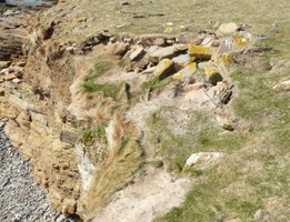
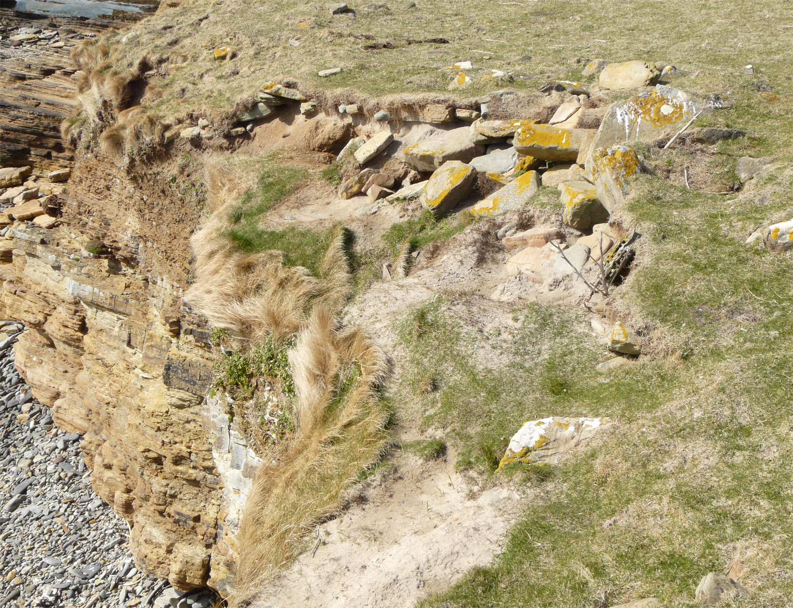
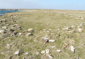
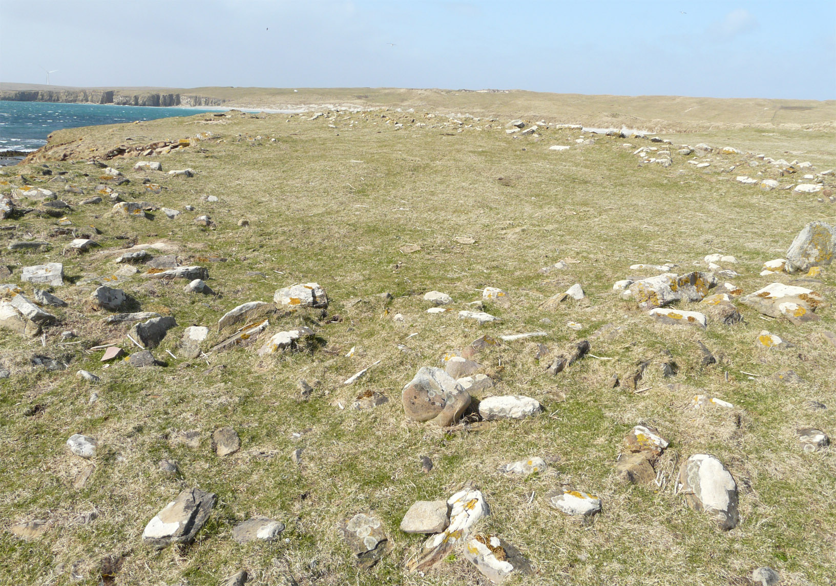
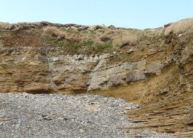
A linear rise or barrier extends across the neck of a low promontory. It is covered with consolidated deposits of wind blown sand which may hide a stone constituent; occasional stones are visible in rabbit scrapes along its length. It is divided into two parts, with a gap in between. To the eastern side, the barrier measures 27m in length by 19m in width and stands to 3.3m high; the western section is 12m long by 13m wide and has a flattened ledge or 'apron' along its landward side. Previous surveyors have noted midden deposits and stony heaps in this area. It is probable that these remains may be of pre-modern and possibly prehistoric date. A small, rectangular enclosure, defined by a stony bank, lies at the tip of the promontory and appears to be a planticrub of recent date. Ref.: RCAHMS (1946), #171; RCAHMS (1980), 150.
Location
362690.00
1036200.00
27700
59.2107887
-2.6551423
Submitted photographs
Image
Date
Caption
User
23/04/2013
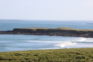
Quoy Ness headland
training1
23/04/2013
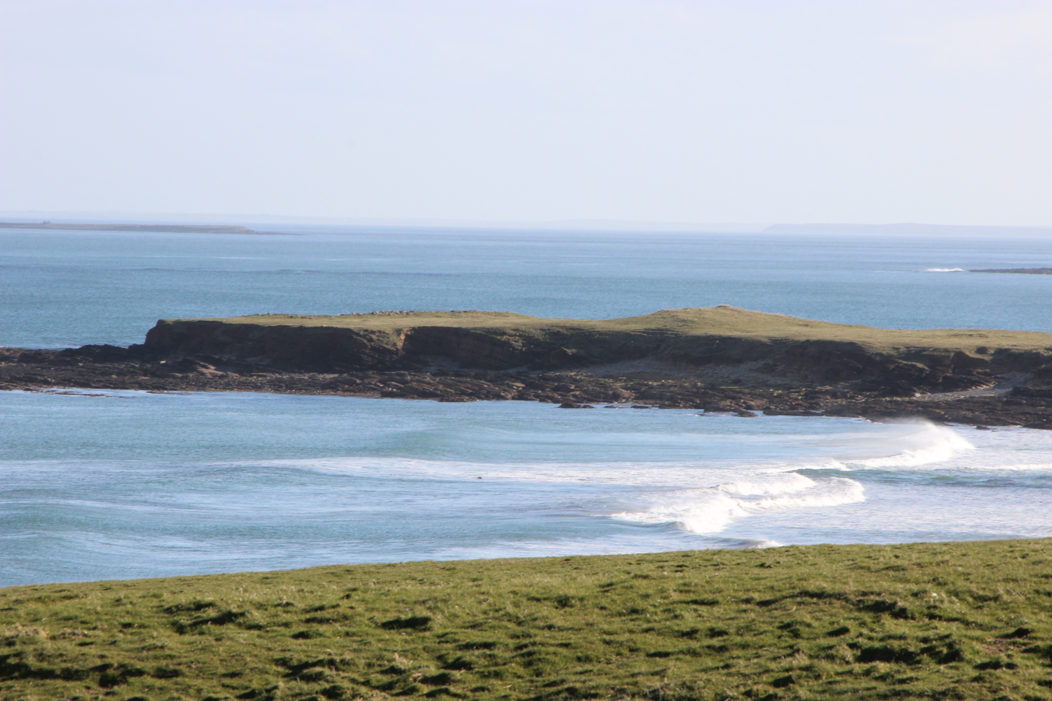
Enclosure at Quoyness, Doun Helzie
Thorne
23/04/2013
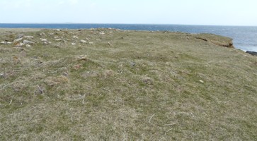
Enclosure at Quoyness, Doun Helzie
Thorne
23/04/2013
Enclosure at Quoyness, Doun Helzie
Thorne
23/04/2013
Enclosure at Quoyness, Doun Helzie
Thorne
Submitted updates
Update id
Date
User
929
23/04/2013
Thorne
Tidal state
High
Site located?
Yes
Proximity to coast edge
Coast edge
Coastally eroding?
active sea erosion; has eroded in the past
Threats
stock erosion; animal burrows
Visibility above ground
Highly visible (substantial remains)
Visibility in section
Limited visibility in section
Access
accessible - difficult terrain; accessible on foot (no footpath)
Local knowledge
is not locally known
Description
A linear rise or barrier extends across the neck of a low promontory. It is covered with consolidated deposits of wind blown sand which may hide a stone constituent; occasional stones are visible in rabbit scrapes along its length. It is divided into two parts, with a gap in between. To the eastern side, the barrier measures 27m in length by 19m in width and stands to 3.3m high; the western section is 12m long by 13m wide and has a flattened ledge or 'apron' along its landward side. Previous surveyors have noted midden deposits and stony heaps in this area. It is probable that these remains may be of pre-modern and possibly prehistoric date. A small, rectangular enclosure, defined by a stony bank, lies at the tip of the promontory and appears to be a planticrub of recent date. Ref.: RCAHMS (1946), #171; RCAHMS (1980), 150.
Photos show some erosion of features. Reassign priority 3
Comments
The rectangular enclosure was seen during the survey, but the linear bank was not observed.