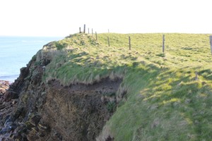
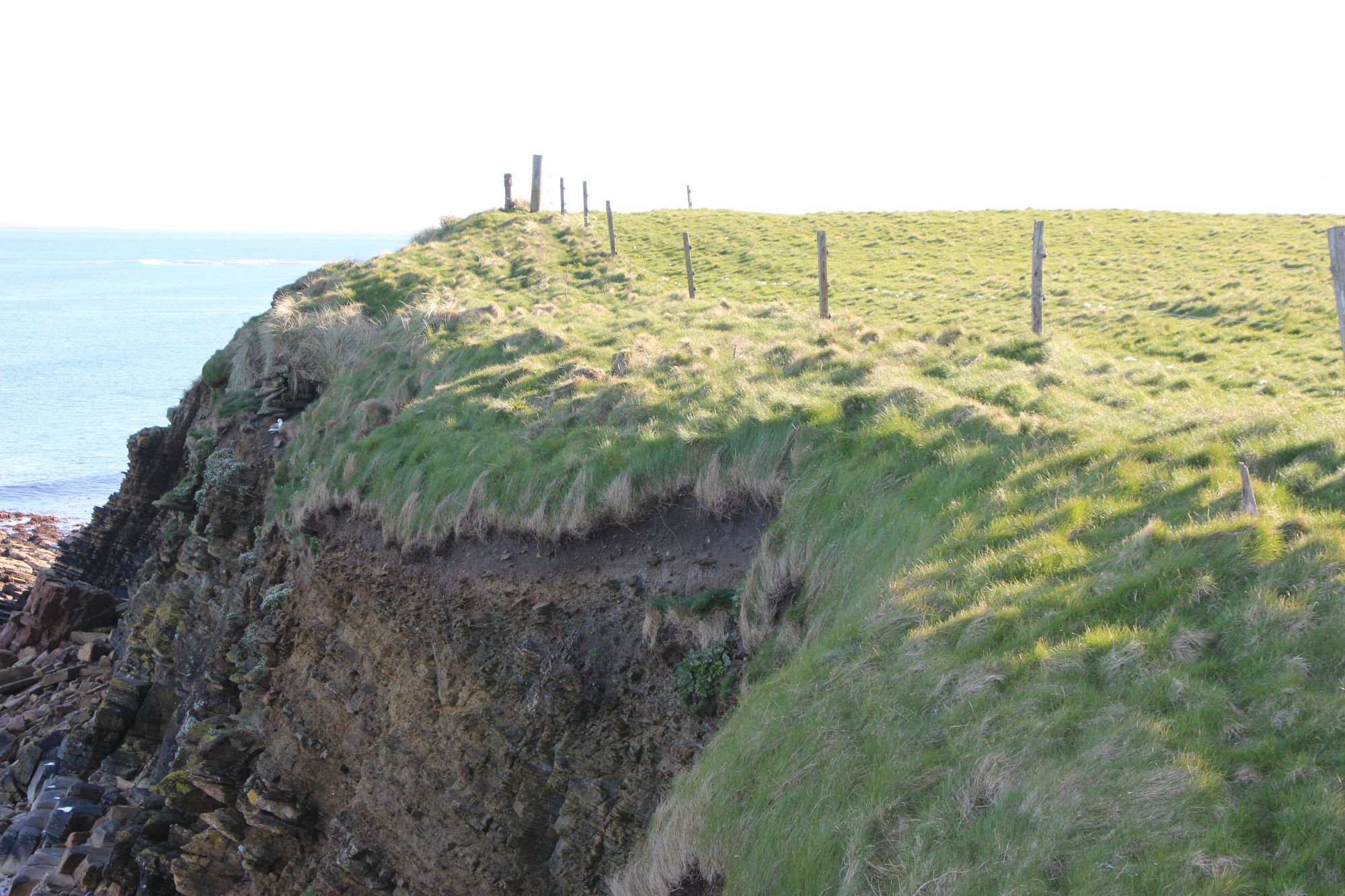
A gentle rise in an enclosed pasture field immediately beside the coast edge measures some 30m in diameter and stands up to 2m high. It is surrounded by several other small, amorphous mounds and sand dunes and the entire area is very overgrown. Occasional fragments of walling are exposed in the coastal section, but there is no sign of substantial masonry or obvious broch features noted by previous surveyors. The mounded area, together with traces of anthropogenic soils exposed in the cliff section suggest that this site represents a settlement of probable prehistoric date, but there is now no indication of a broch. The cliff section is actively eroding. Ref.: RCAHMS (1946), #160; RCAHMS (1980), #62.
ShoreUPDATE 4 May 2015
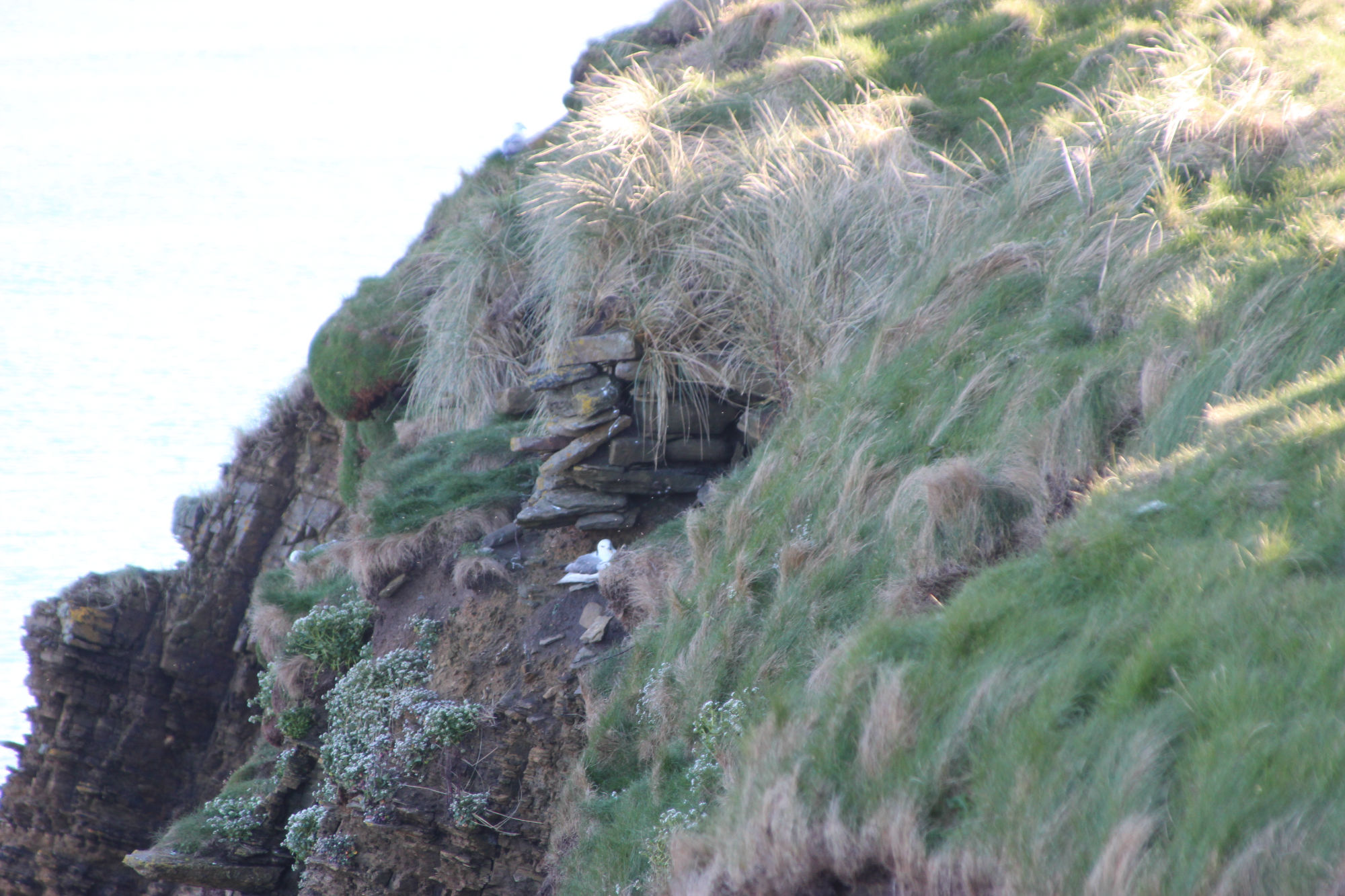
As described. Some structural stonework including the ends of drystone walls visible in the coast edge at the top of the cliffs, but nothing of a scale to support the interpretation of the site as a broch. The Canmore record states that most of the structure was washed away in 1969, but map regression shows that there has been little change to this coastline since the survey of the 1st edition OS map. The site sits at the top of cliffs c.10m high.