Hangie Head, Tres Ness (6689)
Condition
| 2 | |
| Mound & earthwork | |
| Prehistoric | |
| 3565 | |
| SMR115 | |
| Orkney |
Description
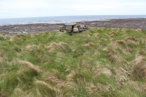
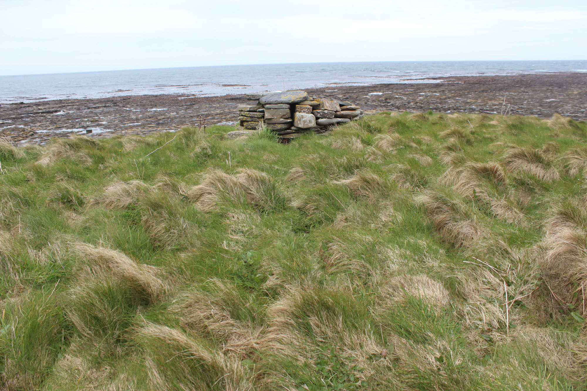
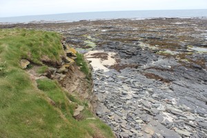
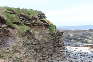
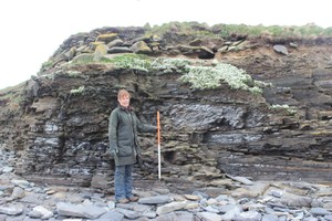
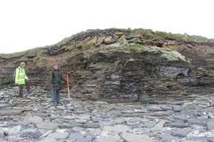
| A low mound, which may be artificial, lies adjacent to the coast edge. It is sub-oval in shape, measuring some 25m by 12m and stands no more than 1m high. A modern marker cairn has been constructed on its highest point. The seaward side of the mound has been damaged by coastal erosion and stonework, which appears to be of a structural nature, is exposed in an erosion face which extends for 10m and is up to 1m high. This area is used by nesting fulmars. To the north side of the mound can be seen the faint outline of a curvilinear earthwork. This is up to 2m in width and extends for 15m or more inland, running to the west of the mound. The Ref.: Orkney Name Book No.2, 1879; RCAHMS (1946) #446; RCAHMS (1980) #156. ShoreUPDATE 14 May 2015 As described, some structural stone is visible at the south end including a wall face and possible paving. No cultural material is visible in the exposure. This site may be a burial cairn; there is a chambered cairn (a scheduled monument) at the tip of the point. |
Location
| 371200.00 | |
| 1038000.00 | |
| 27700 | |
| 59.2276192 | |
| -2.5063574 |
Submitted photographs
| Image | Date | Caption | User |
|---|---|---|---|
|
16/05/2015 | Hangie Head marker cairn on top of mound | training1 |
|
|||
|
16/05/2015 | Hangie Head view from the mound towards the sea | training1 |

|
|||
|
16/05/2015 | Hangie Head mound sectioned by erosion | training1 |

|
|||
|
16/05/2015 | Hangie Head mound stonework on north side of mound | training1 |

|
|||

|
16/05/2015 | Hangie Head mound structural stone on south side of mound | training1 |

|
|||
|
16/05/2015 | Hangie Head mound in section | training1 |

|
|||
Submitted updates
| Update id | Date | User | ||||||||||||||||
|---|---|---|---|---|---|---|---|---|---|---|---|---|---|---|---|---|---|---|
| 2047 | 16/05/2015 | training1 | ||||||||||||||||
|
||||||||||||||||||