Newark (6682)
Condition
| 3 | |
| Mound & coastal exposure | |
| Early Medieval, Medieval | |
| 313944 | |
| Orkney |
Description
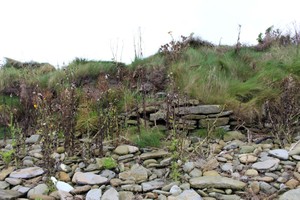
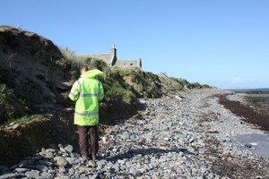
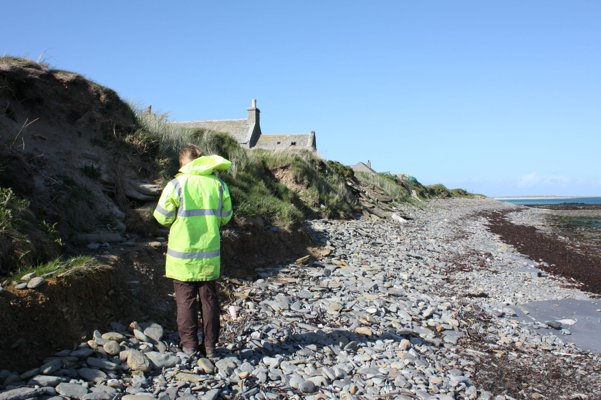
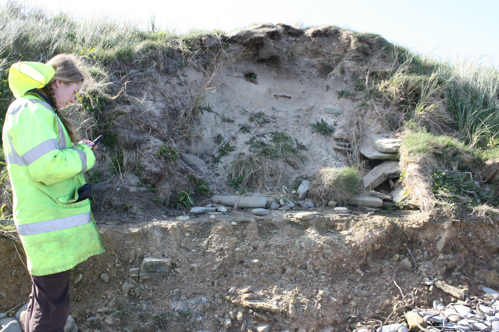
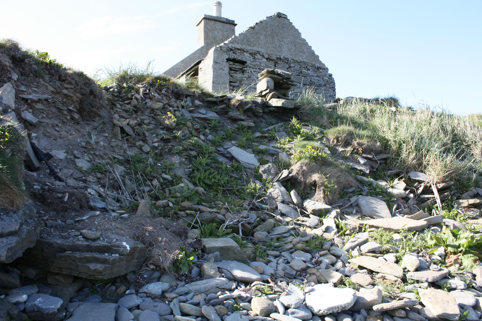
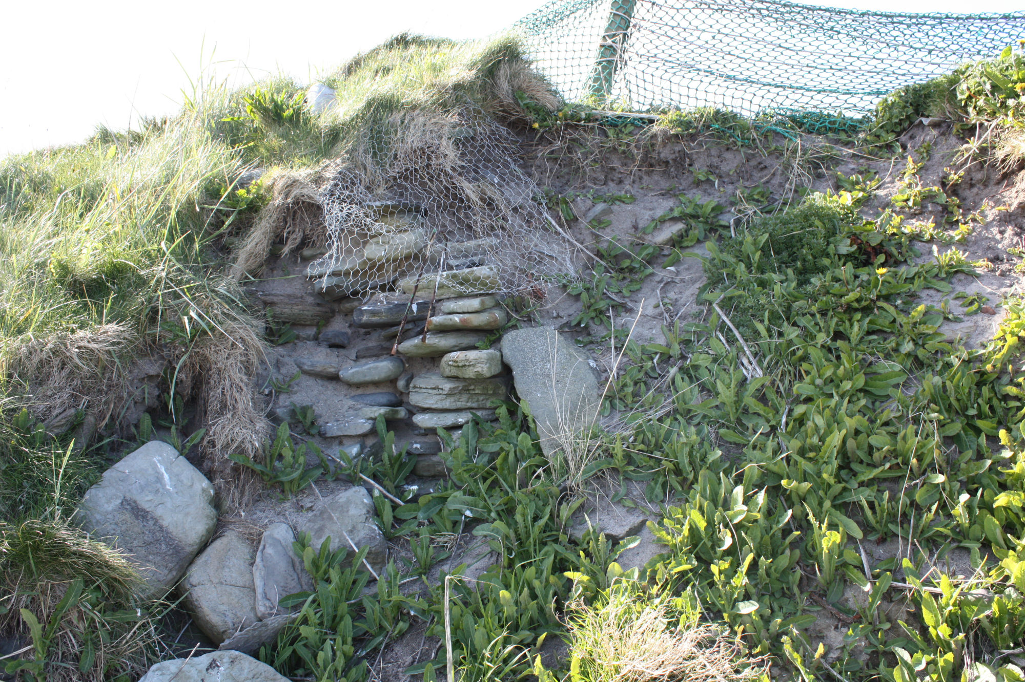
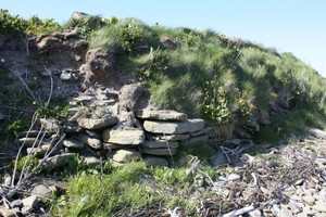
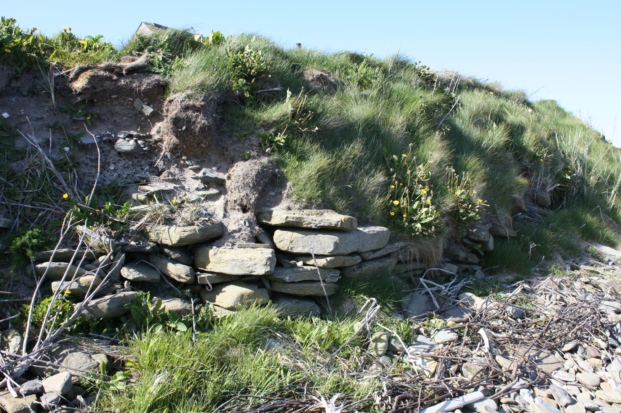
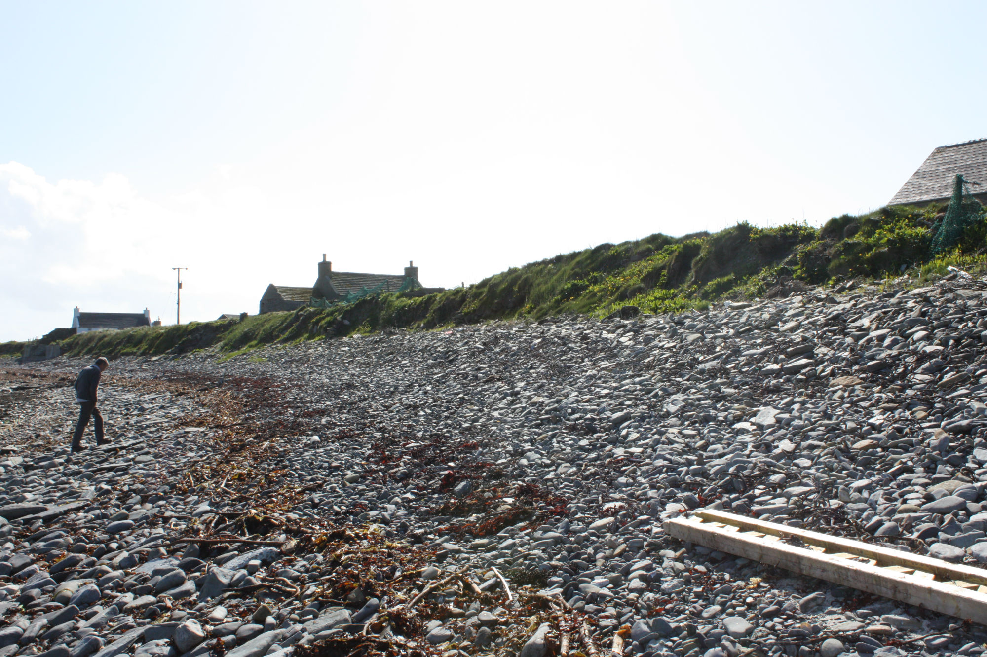
| An large 'farm mound' which is located immediately by the coast edge, has been eroded in places by the sea to reveal substantial structural remains. The mound measures some 50m in diameter and stands up to 3m high. Archaeological deposits are visible in the erosion face for over 120m, but the most substantial deposits are contained within a 15m long section to the south of the area. Here, fragments of coursed drystone walling stands up to 0.75m or 8 courses high; two stone-lined drains are also present. The walling runs parallel to the section face and appears to represent part of a rectangular structure which was built on sloping ground, to one side of a midden heap. The soils which lie beneath the base of the wall are highly organic and contain inclusions of shell, bone, peatash and charcoal. Traces of later buildings are suggested by further concentrations of slabs and blocks to the south. Overall, the visible remains indicate that the site was occupied over a long period of time; the exposed structural remains may be of Viking/Norse date. ShoreUPDATE 17 May 2015 Generally as described. One stretch of walling is currently visible, no midden deposits were seen. A stone structure which may be a drain is exposed to the south. Most of the slope is vegetated or obscured by modern dumping. |
Location
| 372300.00 | |
| 1042410.00 | |
| 27700 | |
| 59.2672920 | |
| -2.4876506 |
Submitted photographs
| Image | Date | Caption | User |
|---|---|---|---|
|
18/05/2015 | Exposure showing wall in 2017 | joannahambly |

|
|||
|
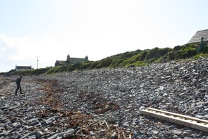
18/05/2015 | Newark general view of the coast edge in the area | training1 |
|
|||

|
18/05/2015 | Newark possible stone lined drain | training1 |
|
|||

|
18/05/2015 | Newark showing the current building and modern dumping | training1 |
|
|||

|
18/05/2015 | Newark, possible field boundary wall visible in section | training1 |
|
|||
|
18/05/2015 | Newark, wall visible in section | training1 |
|
|||
|
18/05/2015 | Newark general view of the coast edge in the area | training1 |
|
|||
Submitted updates
No updates found