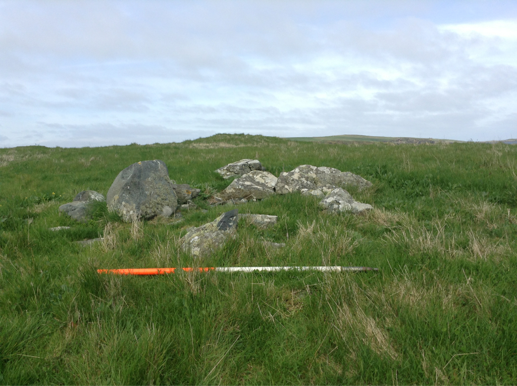
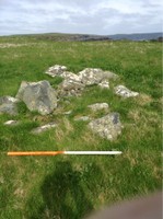
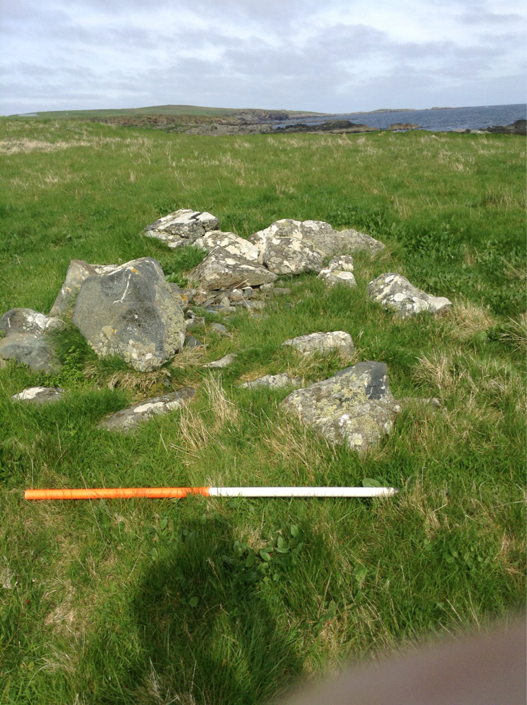
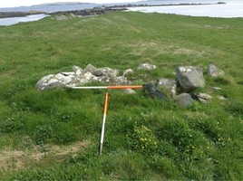
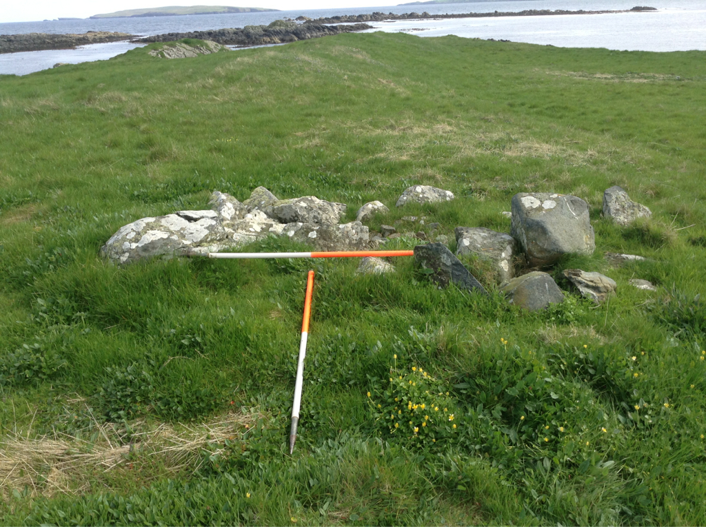
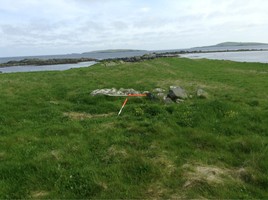
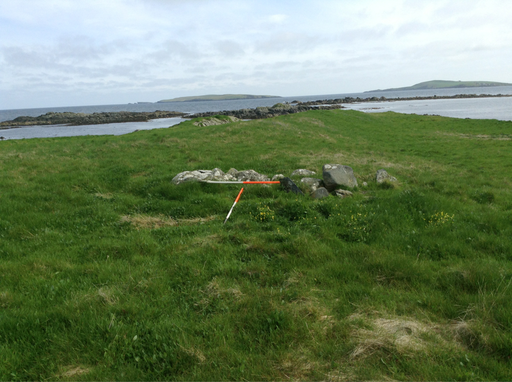
Two sections of earthen and stone banking, one straight and one curvilinear, form a subrectangular enclosure which backs on to the coast. Overall, the enclosure measures some 40m in length by 20m in width. A small grassy mound and the ruins of a small drystone structure lie on the landward side of the enclosure. A raised cultivation area lies within the enclosure, adjacent to the coast edge. The structure is likely to be of 18th-20th C date; the enclosure and mound may be earlier. Substantial differences in scale suggest that the banks which form the enclosure are not contemporary; the larger, straighter bank may be a remnant of a once more extensive boundary. This may warrant further investigation in view of the fact that eroding human remains indicate the presence of a cemetery in the nearby area (see SM22). The banks and associated features are here described separately: (i) The curvilinear bank section measures 18m long by 2m wide and stands to 0.7m high. (ii) The straight bank extends inland from the sea for 40m. It is up to 5m wide and stands to 1.5m high. (iii) The mound is amorphous in shape and measures 5m by 3m. It stands up to 1m high. (iv) The structure measures 4.3m by 4m and is filled with collapsed stone.
27/05/14
As described.
Slight coastal erosion of seaward ends of earthworks but poses limited threat to the whole site.
Location
443599.00
1127819.00
27700
60.0328331
-1.2193769
Submitted photographs
Image
Date
Caption
User
27/05/2014
6556 Mail, structure with mound in background
training1
27/05/2014
6556 Mail, structure detail
training1
27/05/2014
6556 Mail, structure and linear earthwork
training1
27/05/2014
6556 Mail, structure and linear earthwork
training1
Submitted updates
Update id
Date
User
1649
27/05/2014
training1
Tidal state
Low
Site located?
Yes
Proximity to coast edge
< 10m
Coastally eroding?
not eroding
Visibility above ground
Limited visibility (partial remains)
Access
accessible on foot (no footpath)
Local knowledge
don't know
Description
Two sections of earthen and stone banking, one straight and one curvilinear, form a subrectangular enclosure which backs on to the coast. Overall, the enclosure measures some 40m in length by 20m in width. A small grassy mound and the ruins of a small drystone structure lie on the landward side of the enclosure. A raised cultivation area lies within the enclosure, adjacent to the coast edge. The structure is likely to be of 18th-20th C date; the enclosure and mound may be earlier. Substantial differences in scale suggest that the banks which form the enclosure are not contemporary; the larger, straighter bank may be a remnant of a once more extensive boundary. This may warrant further investigation in view of the fact that eroding human remains indicate the presence of a cemetery in the nearby area (see SM22). The banks and associated features are here described separately: (i) The curvilinear bank section measures 18m long by 2m wide and stands to 0.7m high. (ii) The straight bank extends inland from the sea for 40m. It is up to 5m wide and stands to 1.5m high. (iii) The mound is amorphous in shape and measures 5m by 3m. It stands up to 1m high. (iv) The structure measures 4.3m by 4m and is filled with collapsed stone.
27/05/14
As described.
Slight coastal erosion of seaward ends of earthworks but poses limited threat to the whole site.