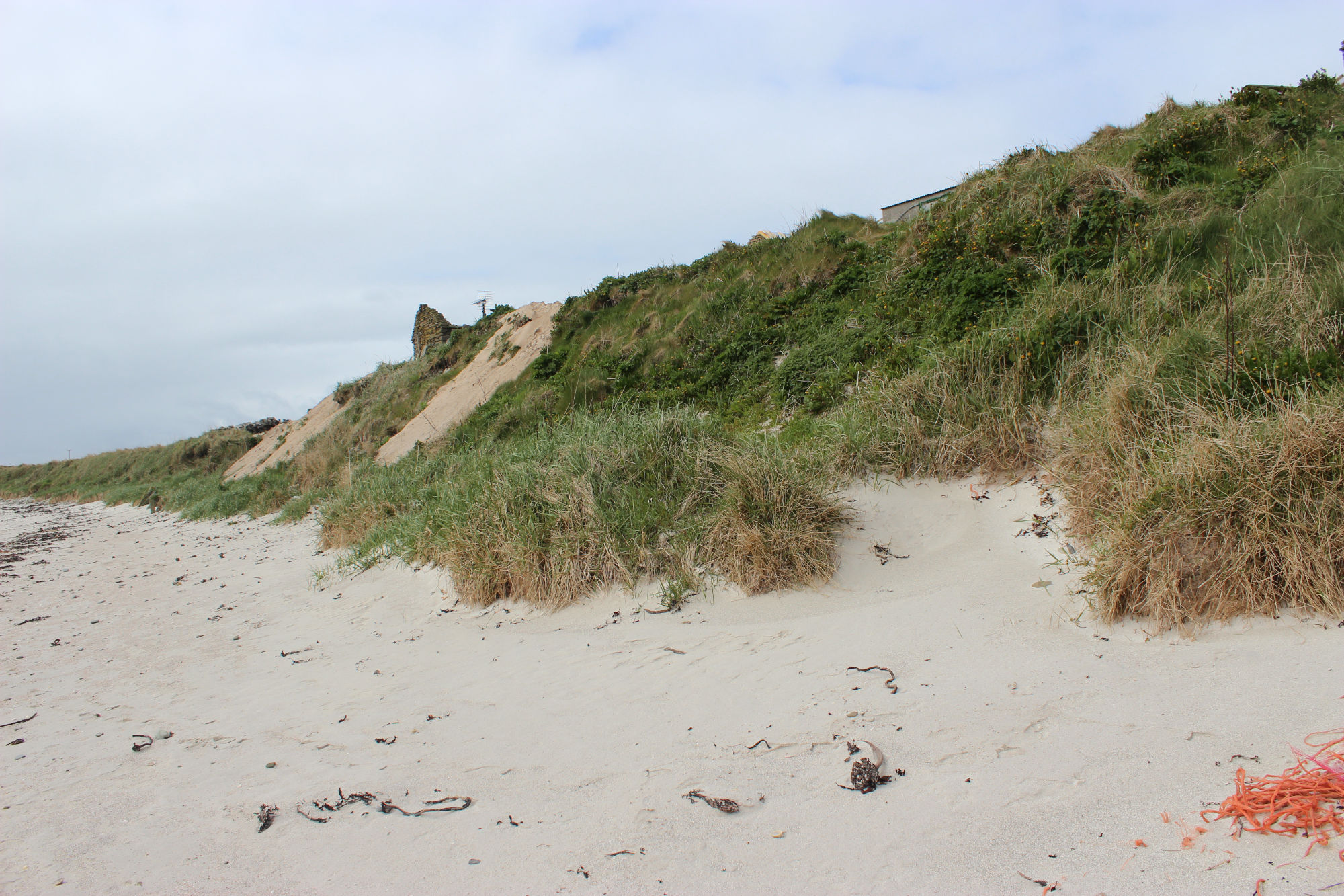
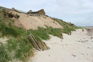
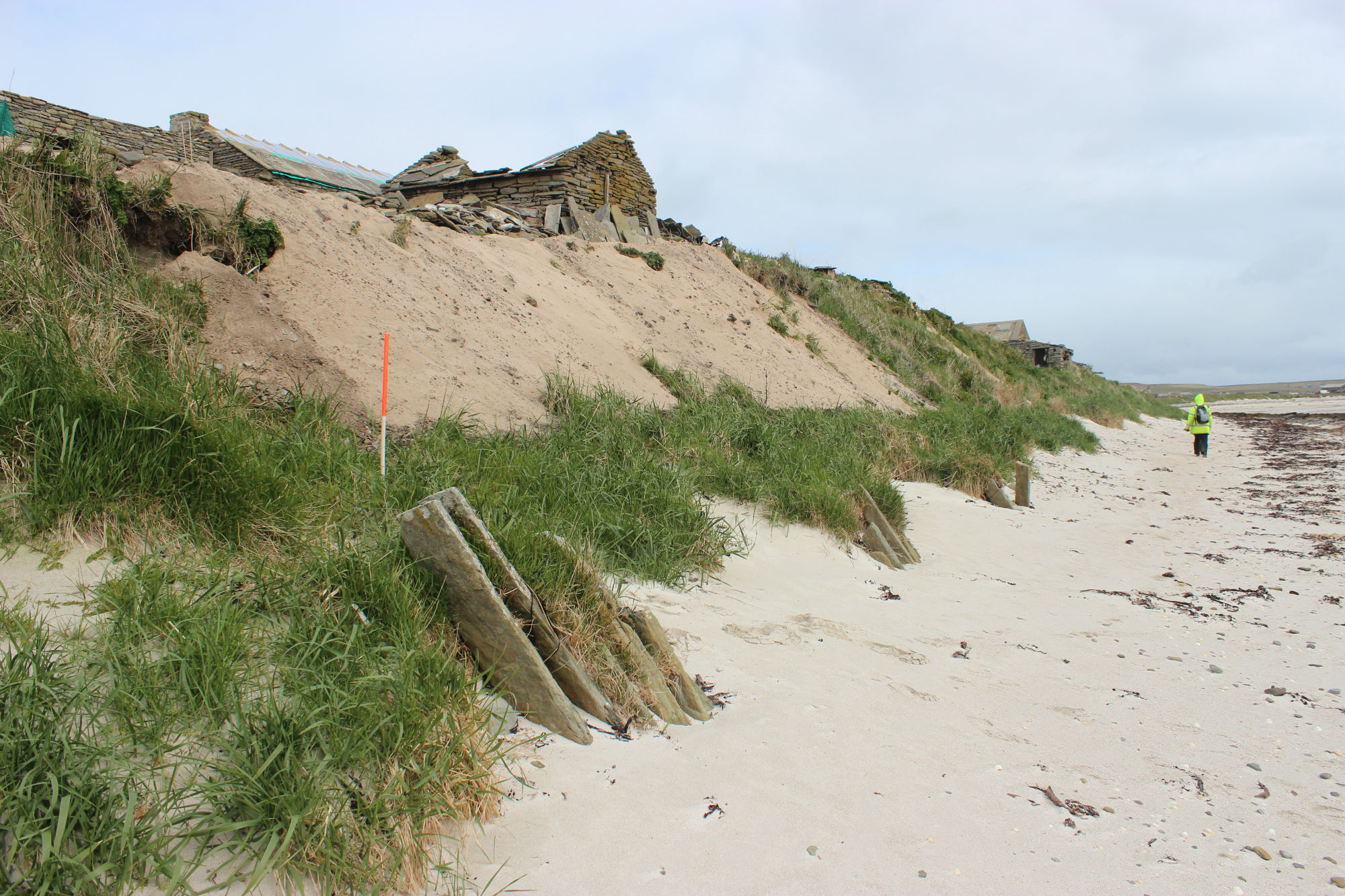
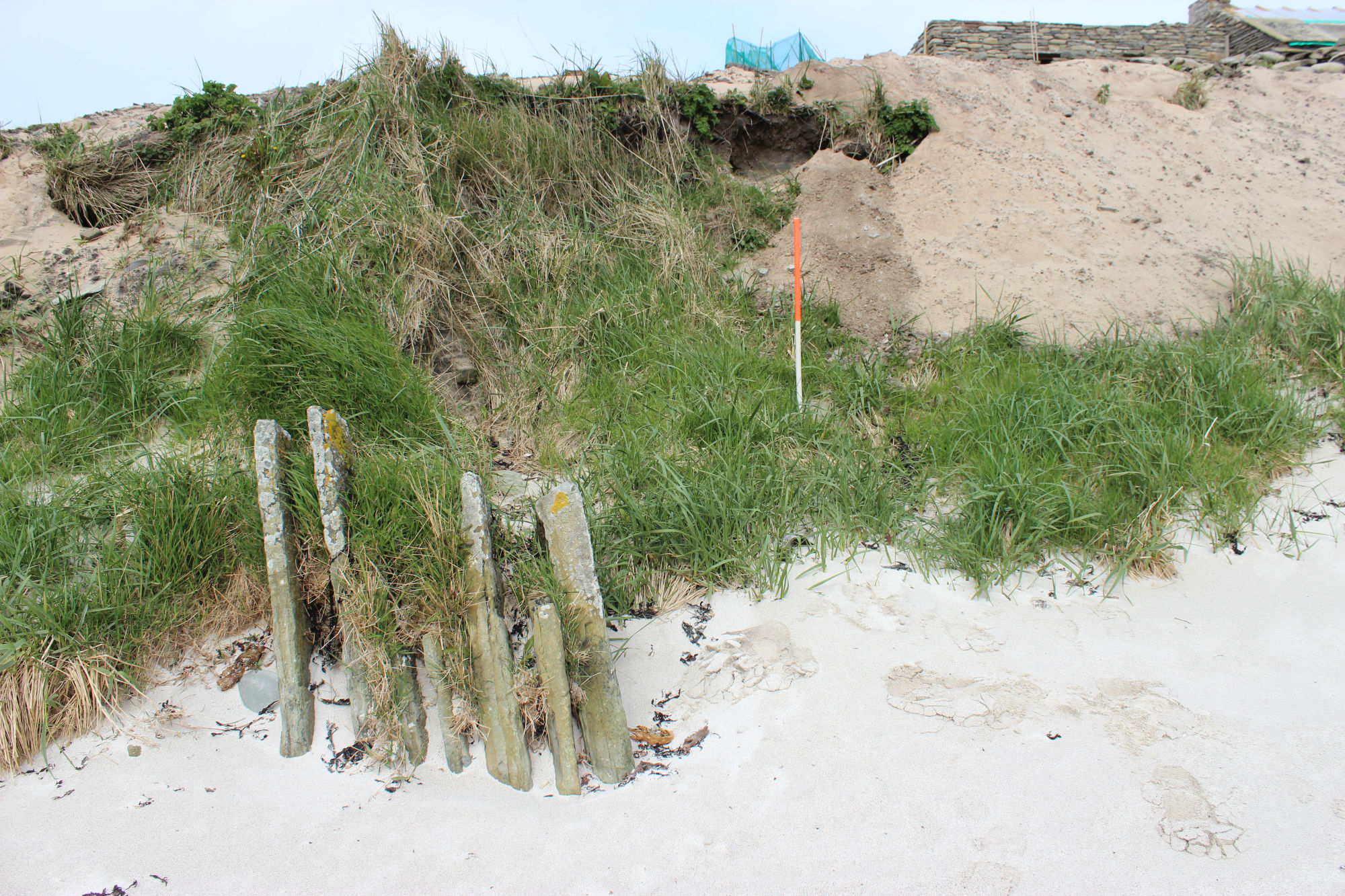
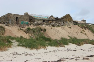
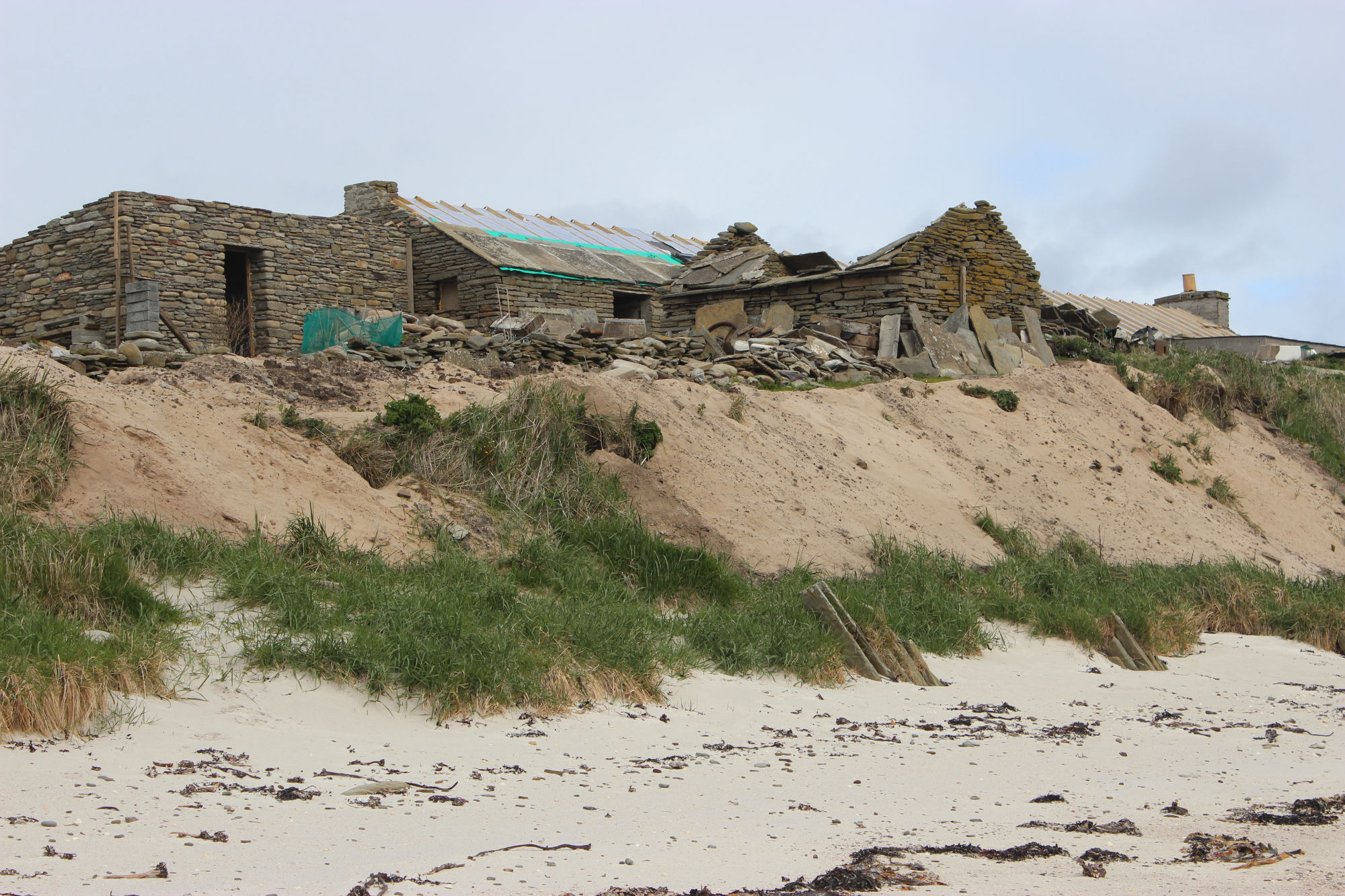
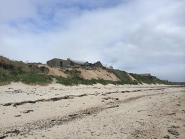
A farm mound which extends for about 100m by 40m stands up to 5m high. It lies beneath the 18th-20th C farmstead at Mayback. To the seaward side, erosion has created an exposure into the mound in which a variety of archaeological deposits are visible. Much of the mound is formed from fine organic soils derived from farm muck. There are also deposits of shell and inclusions of metal and post-medieval pottery. Occasionally, towards the base of the farm mound material, there are stones visible which may be part of a structure or structures which are not clearly identifiable. These deposits cover a 3.5m deep layer of wind-blown sand. An assessment is recommended to clarify the nature and dates of the deposits, to investigate the nature of the midden and possible structural remains and to investigate the possibility that the mound may be associated with a farmstead of medieval or earlier date.
ShoreUPDATE 13 May 2015
The modern farm sitting on the mound is in the process of being renovated. Very recent dumping of sand along the coast edge obscures any archaeological deposits, and other areas of the coastal side of the mound are well vegetated. As the farm is being renovated and the area is being actively maintained with dumping over the coast edge and ad hoc coastal defence, the archaeological deposits in the mound are less vulnerable to destruction by erosion.
Location
349540.00
1052400.00
27700
59.3548851
-2.8891907
Submitted photographs
Image
Date
Caption
User
13/05/2015
Mayback farm mound
training1
13/05/2015
Mayback, general view of the farm mound
training1
13/05/2015
Mayback, seaward side of mound
training1
13/05/2015
Mayback general view of the farm buildings and mound
training1
13/05/2015
Mayback general view of the farm mound
training1
Submitted updates
Update id
Date
User
2034
13/05/2015
training1
Tidal state
Low
Site located?
Yes
Proximity to coast edge
Coast edge
Coastally eroding?
has eroded in the past
Coastal defence
Yes
Visibility above ground
Not visible
Visibility in section
Not visible
Description
A farm mound which extends for about 100m by 40m stands up to 5m high. It lies beneath the 18th-20th C farmstead at Mayback. To the seaward side, erosion has created an exposure into the mound in which a variety of archaeological deposits are visible. Much of the mound is formed from fine organic soils derived from farm muck. There are also deposits of shell and inclusions of metal and post-medieval pottery. Occasionally, towards the base of the farm mound material, there are stones visible which may be part of a structure or structures which are not clearly identifiable. These deposits cover a 3.5m deep layer of wind-blown sand. An assessment is recommended to clarify the nature anddates of the deposits, to investigate the nature of the midden and possible structural remains and to investigate the possibility that the mound may be associated with a farmstead of medieval or earlier date.
ShoreUPDATE 13 May 2015
The modern farm sitting on the mound is in the process of being renovated. Very recent dumping of sand along the coast edge obscures any archaeological deposits, and other areas of the coastal side of the mound are well vegetated. As the farm is being renovated and the area is being actively maintained with dumping over the coast edge and ad hoc coastal defence, the archaeological deposits in the mound are less vulnerable to destruction by erosion.