Knowe of Skea (6161)
Condition
| 6 | |
| Settlement | |
| Neolithic, Bronze Age, Iron Age | |
| 2838 | |
| Orkney |
Description
| A large amorphous mound, measuring 26m in diameter, is situated on the extreme tip of Berst Ness. The land on which it is sited is becoming cut off by the sea and is currently joined to the Ness by a low-lying shoulder of sea-washed rock. There are several short exposures to the south side of the mound, caused by coastal erosion. Here, fragments of animal bone, shell, burnt material and pot which may be of Bronze Age date, form inclusions within anthropogenic soil deposits. Occasional protruding stones provide an indication that the mound may cover structural remains. The centre of the mound lies 5m from the coast edge and the site is very vulnerable to further erosion. ShoreUPDATE 11 May 2015 This site has been investigated and partially excavated. No evidence of active erosion faces was found on this visit. Remove from priorities. |
Location
| 344140.00 | |
| 1041810.00 | |
| 27700 | |
| 59.2591171 | |
| -2.9814005 |
Submitted photographs
| Image | Date | Caption | User |
|---|---|---|---|
|
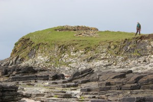
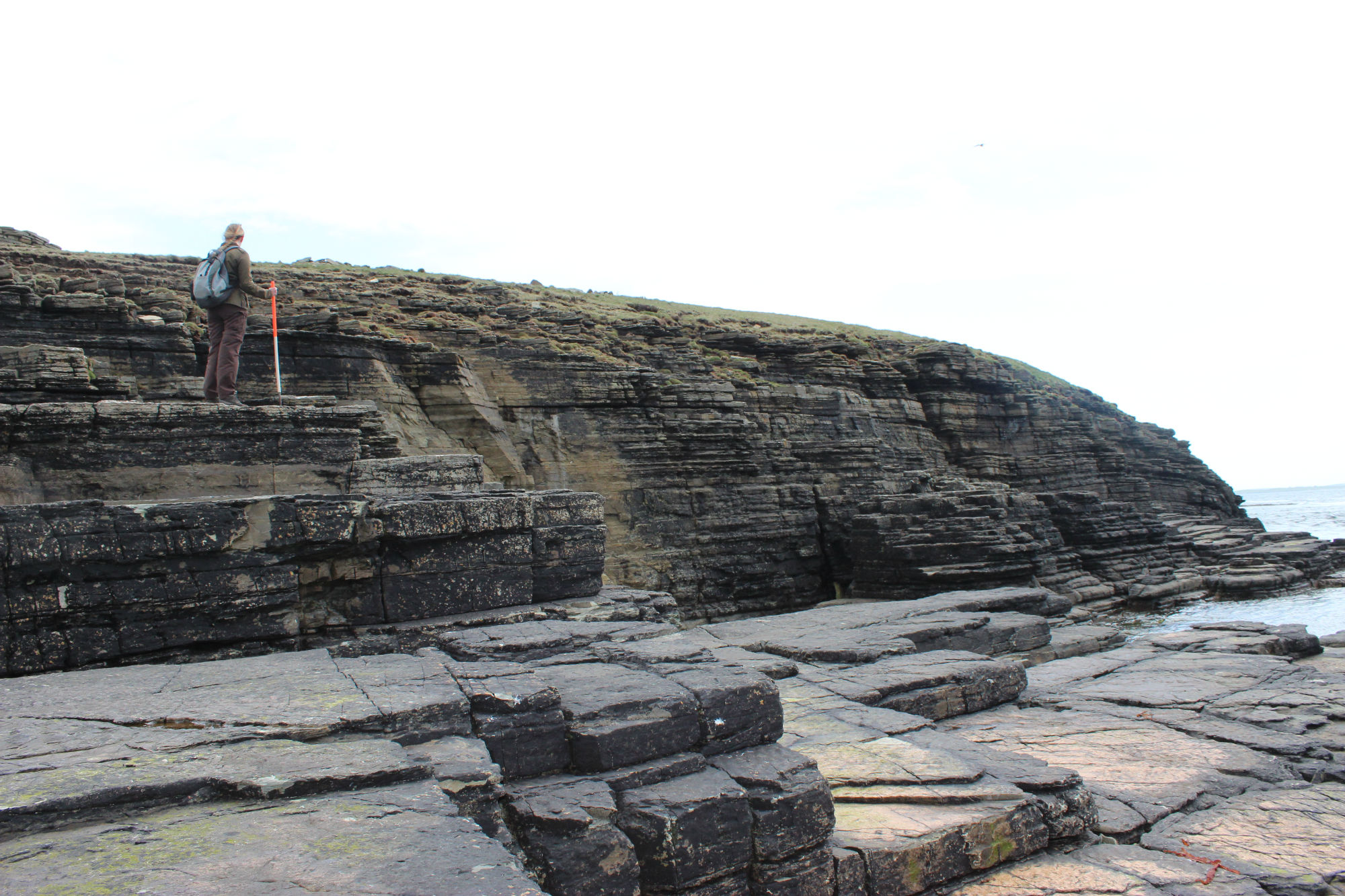
11/05/2015 | Knowe of Skea, Berst Ness coast edge on south east side of promontory | training1 |
|
|||

|
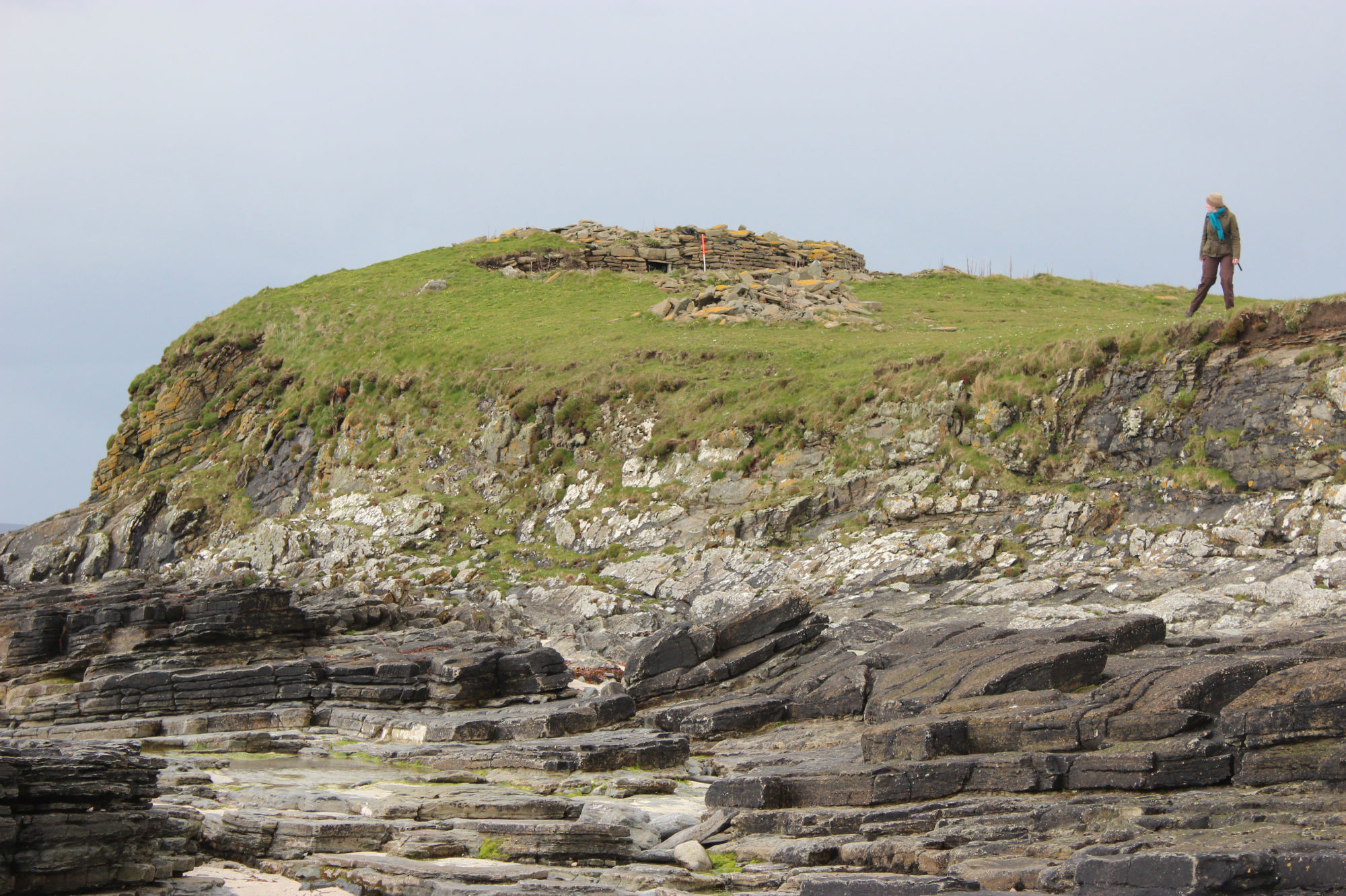
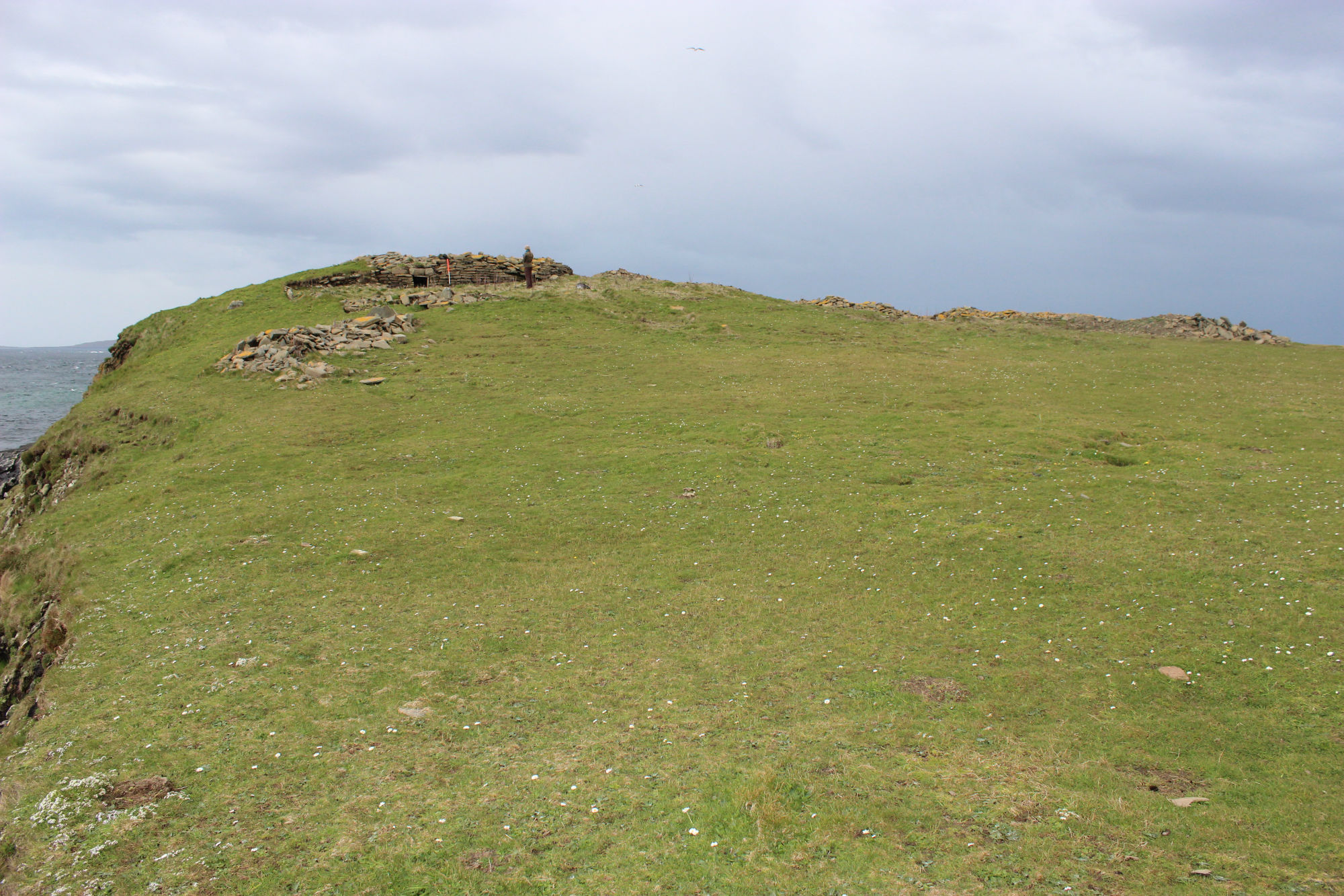
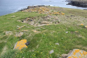
11/05/2015 | Knowe of Skea, Berst Ness general view of promontory | training1 |
|
|||
|
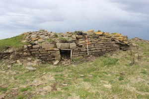
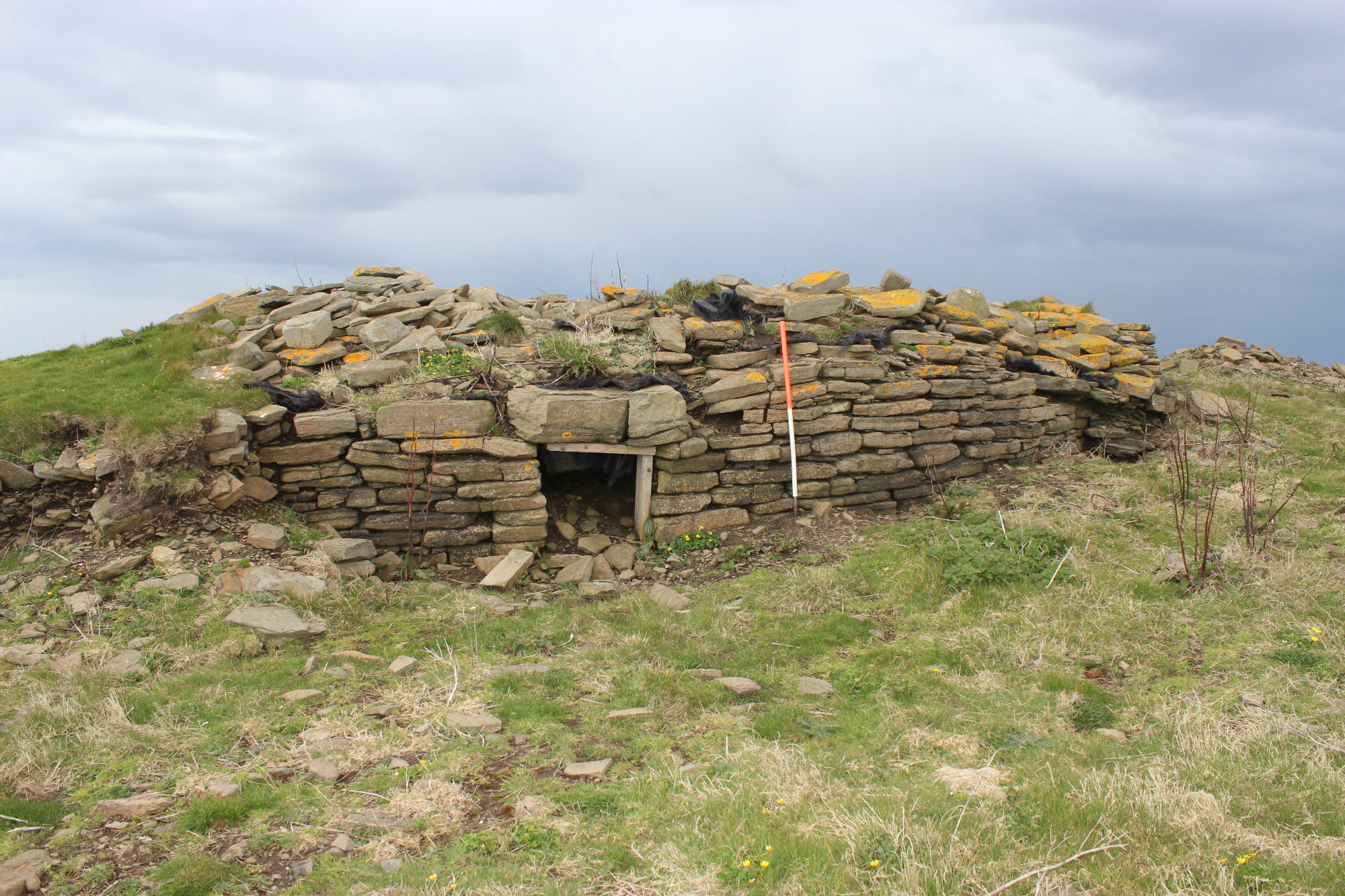
11/05/2015 | Knowe of Skea, Berst Ness partially reconstructed structure | training1 |
|
|||
|
11/05/2015 | Knowe of Skea, Berst Ness site of trench | training1 |

|
|||

|
11/05/2015 | Knowe of Skea, Berst Ness coast edge on west side of promontory | training1 |
|
|||
Submitted updates
| Update id | Date | User | ||||||||||||||||||
|---|---|---|---|---|---|---|---|---|---|---|---|---|---|---|---|---|---|---|---|---|
| 2021 | 11/05/2015 | training1 | ||||||||||||||||||
|
||||||||||||||||||||