This site, previously described (RCAHMS, 1929, ii #865) as having been almost completely destroyed, is visible as an artificial mound, situated on a natural rise and located immediately behind the coast edge. It is amorphous, measuring 15m by 16m approximately and standing up to 3.5m high. The centre is depressed and appears disturbed. Smaller hollowed areas on the periphery of the mound also suggest disturbance. A quantity of structural stone is visible in the sides of a large pit cut into the highest point of the mound - the pit is of recent origin and may have held a fence post. An exposure to the seaward side of the mound contains an edge-set slab and some smaller stones. This site is here classified as a cairn on the basis of its size and form - there is no direct evidence of any burials being found within it. Given, however, that the site was said to have been almost completely destroyed by 1929, it may be that the remains now visible are unrepresentative and thus any classification must be regarded as speculative.
03/05/2013 - The cairn itself is fairly well protected by bedrock below it on the shore, although it is making inroads at the SW of site (site 5906), and eventually this will affect this site.
As described. A bit of stonework visible on west side but otherwise stable and vegetated.
This site is labelled Hillock of Fea Brough (site of) on the second edition Ordnance Survey.
Location
349290.00
995570.00
27700
58.8445702
-2.8804057
Submitted photographs
Image
Date
Caption
User
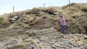
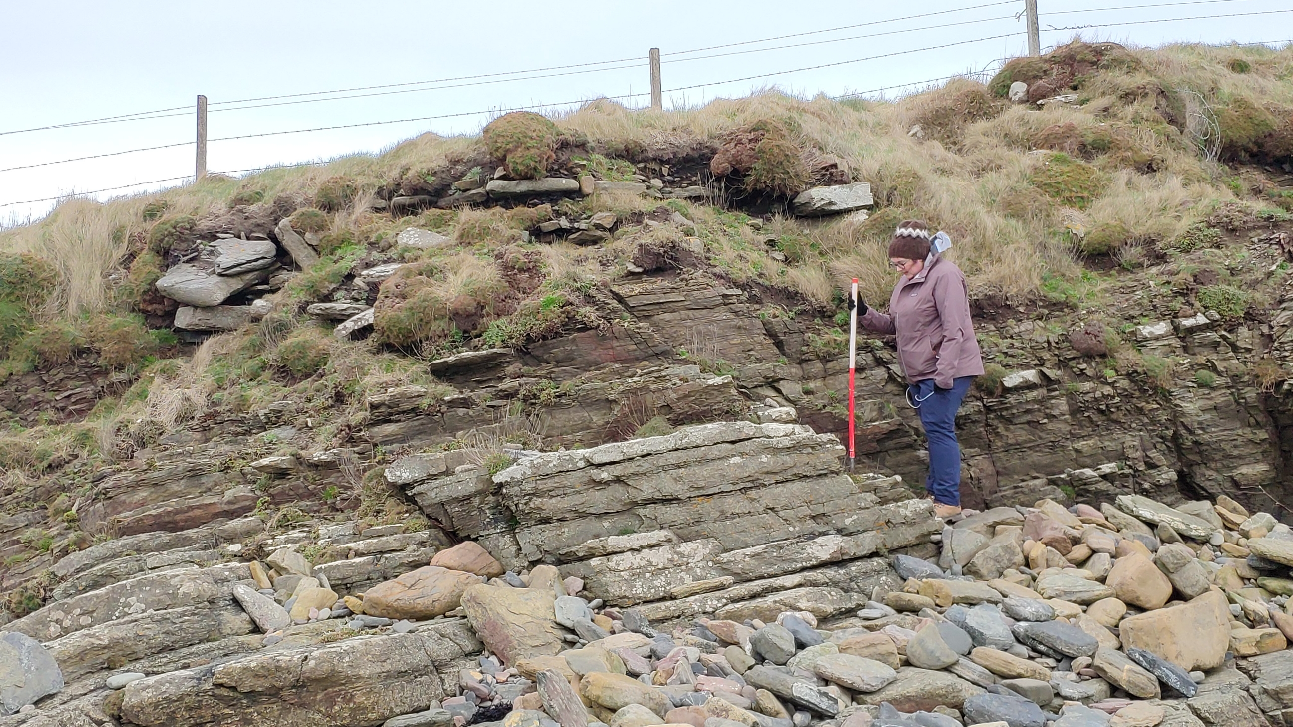
28/03/2023
Structural stone in section on the west side of the mound.
joannahambly
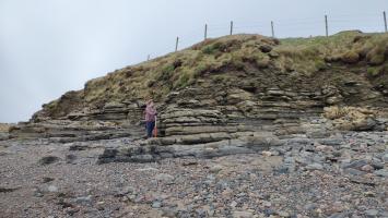
28/03/2023
Seaward side of the east end of the mound
joannahambly
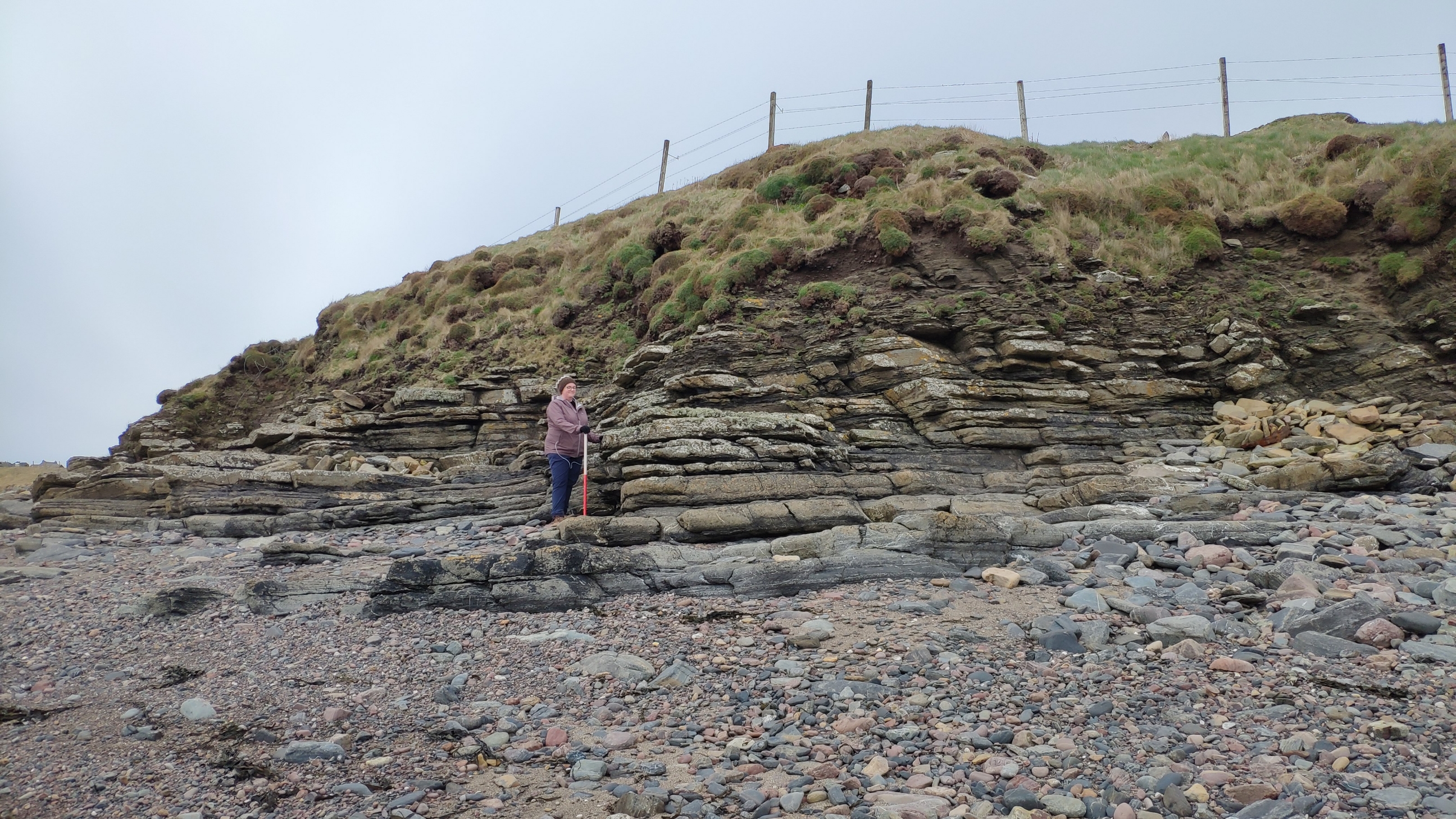
03/05/2013
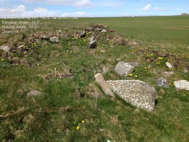
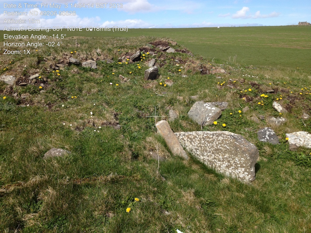
Looking North across the site, showing large on-edge slab mentioned in by earlier visitors
mgts24
03/05/2013
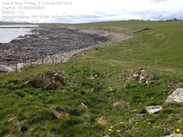
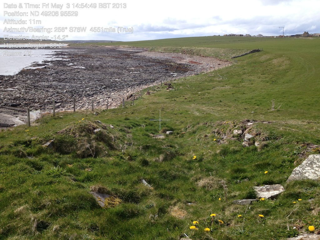
Looking WSW across cairn and down coast. Low tide
mgts24
03/05/2013
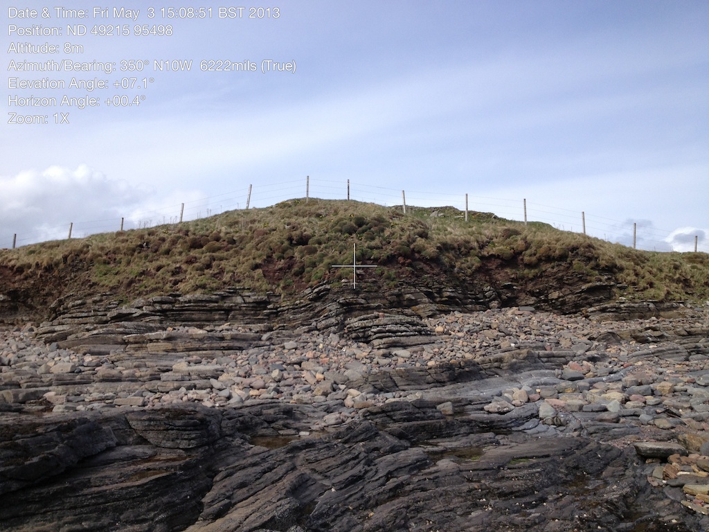
Hillock as seen from the intertidal zone
mgts24
Submitted updates
Update id
Date
User
4418
28/03/2023
joannahambly
Tidal state
Mid
Proximity to coast edge
Coast edge
Access
accessible on foot (no footpath)
Description
As described. A bit of stonework visible on west side but otherwise stable and vegetated.
This site, previously described (RCAHMS, 1929, ii #865) as having been almost completely destroyed, is visible as an artificial mound, situated on a natural rise and located immediately behind the coast edge. It is amorphous, measuring 15m by 16m approximately and standing up to 3.5m high. The centre is depressed and appears disturbed. Smaller hollowed areas on the periphery of the mound also suggest disturbance. A quantity of structural stone is visible in the sides of a large pit cut into the highest point of the mound - the pit is of recent origin and may have held a fence post. An exposure to the seaward side of the mound contains an edge-set slab and some smaller stones. This site is here classified as a cairn on the basis of its size and form - there is no direct evidence of any burials being found within it. Given, however, that the site was said to have been almost completely destroyed by 1929, it may be that the remains now visible are unrepresentative and thus any classification must be regarded as speculative.
The previous assessment that the site was almost completely destroyed is surprising, as the mound is still 3-4 m high, a considerable amount of stone is visible, and there are several different features within the mound. Some evidence of previous digging/excavation. I think that this site is probably worth excavating using modern archaeological methods. However, given the level of disturbance, there may be other more worthwhile candidates in Orkney.
Comments
The cairn itself is fairly well protected by bedrock below it on the shore, although it is making inroads at the SW of site (site 5906), and eventually this will affect this site.