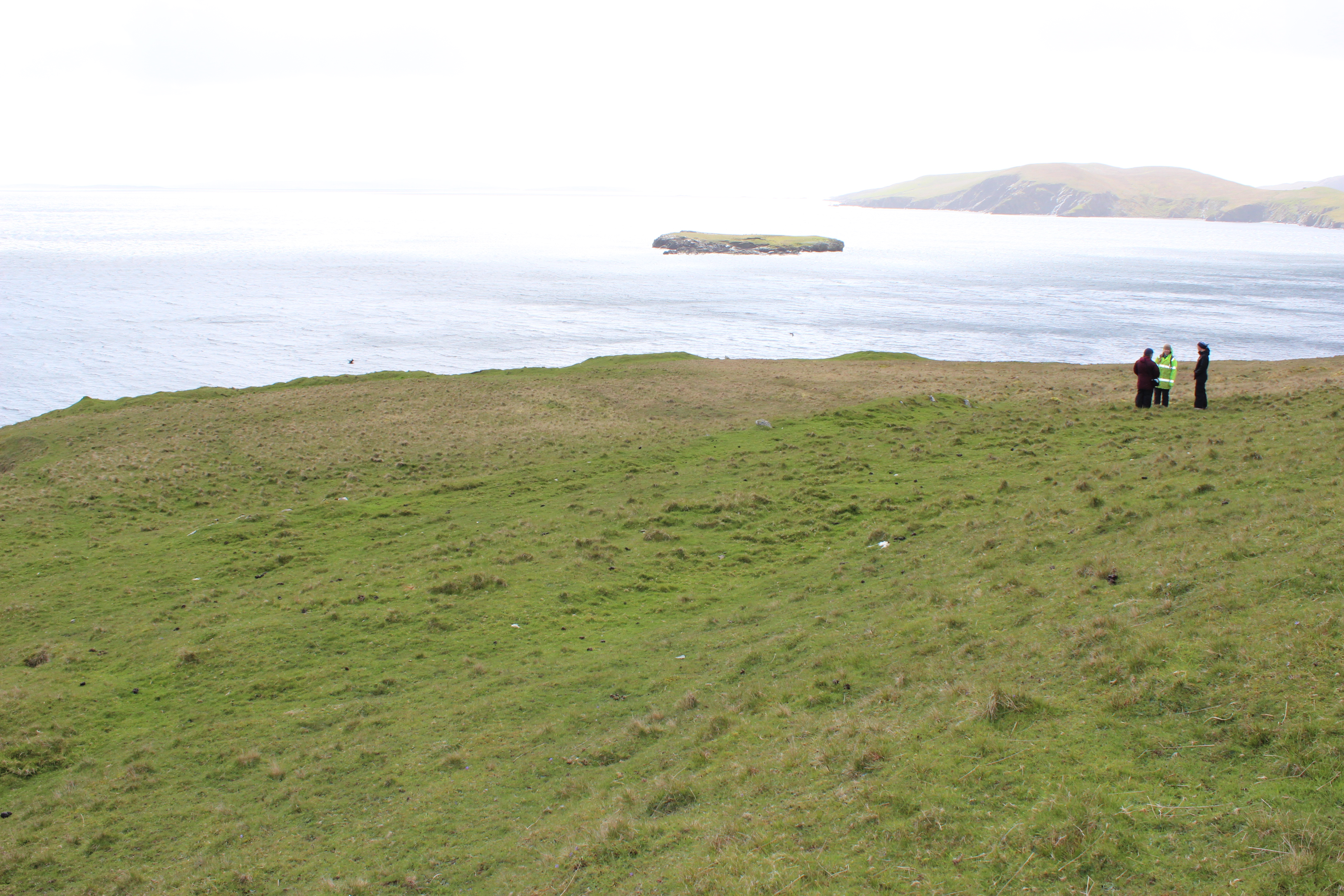
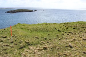
(i) A grassy mounded area, comprising a curving earth bank surrounding a concave 'interior' is located to the E of NM51. Overall, the site measures 8.5m in diameter; the banks stand to 1m high and are 2.5m wide. Up to 10% of the area is affected by rabbit damage. A short stretch of earthen bank extends from the N side of the site, but is soon obscured beneath rough vegetation. (ii) Part of an earthen bank extends to the rear of the shelf of land upon which sites NM49 to NM52 are sited. It is located immediately beneath the break-in-slope at the base of the hill. It is most clearly visible to the E side of the area, where it measures 0.75m-1m wide and stands up to 0.75m high. It extends for over 25m and is aligned E-W. This site may be a part of a field system, incorporating a small hut circle, possibly of prehistoric date. It appears to be associated with NM49, NM50, and NM51.
22 May 2015:
Site as described, see site ID 5703 for main ShoreUPDATE record.
Location
437897.00
1189774.00
27700
60.5896263
-1.3100690
Submitted photographs
Image
Date
Caption
User
22/05/2015
Mounds in background, linear N-S bank across middle of frame
training1
22/05/2015
Mound 5076 in background to left, mound 5075 to right, linear n-s bank in middle of frame
training1
22/05/2015
Lndward edge of mound with short stretch of adjoining bank in foreground, looking SE
training1
Submitted updates
Update id
Date
User
2069
22/05/2015
training1
Tidal state
Mid
Site located?
Yes
Proximity to coast edge
11-50m
Coastally eroding?
not eroding
Visibility above ground
Limited visibility (partial remains)
Visibility in section
Not visible
Access
accessible - difficult terrain
Local knowledge
don't know
Description
(i) A grassy mounded area, comprising a curving earth bank surrounding a concave 'interior' is located to the E of NM51. Overall, the site measures 8.5m in diameter; the banks stand to 1m high and are 2.5m wide. Up to 10% of the area is affected by rabbit damage. A short stretch of earthen bank extends from the N side of the site, but is soon obscured beneath rough vegetation. (ii) Part of an earthen bank extends to the rear of the shelf of land upon which sites NM49 to NM52 are sited. It is located immediately beneath the break-in-slope at the base of the hill. It is most clearly visible to the E side of the area, where it measures 0.75m-1m wide and stands up to 0.75m high. It extends for over 25m and is aligned E-W. This site may be a part of a field system, incorporating a small hut circle, possibly of prehistoric date. It appears to be associated with NM49, NM50, and NM51.
22 May 2015
Site as described, see site ID 5703 for main ShoreUPDATE record.
This is an unusual and interesting site which is not yet understood and which would benefit from a project to investigate and characterise the remains and obtain dating evidence.