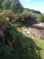
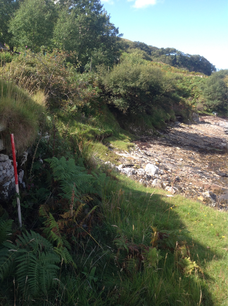
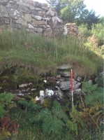
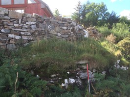
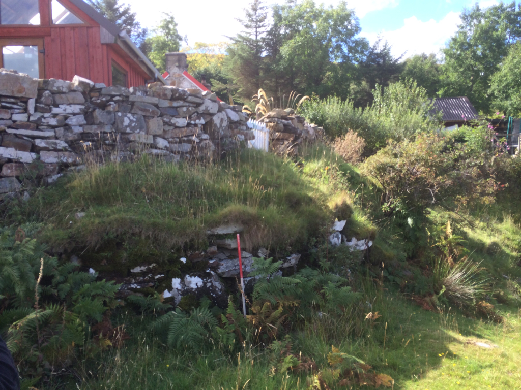
There is a full description of this site in the NMRS following site visits by RCAHMS in 1911, OS on 2 June 1959 (WDJ) and on 30 October 1978 (NKB). The remains of a broch stand on a flat grassy platform above the rocky beach as described by previous surveyors. Only part of the site is now visible. The remainder is now covered by modern buildings. It appears that the steps and walling may now have eroded into the sea since 1978.
31/08/14 site accessed via rocky beach to the east. As described. No current sign of costal erosion.
Location
244590.00
957970.00
27700
58.4821663
-4.6671853
Submitted photographs
Image
Date
Caption
User
15/09/2014
Camus An Duin, Kempie, showing coast edge
Jenvalentine
15/09/2014
Camus An Duin, Kempie, showing broch walling
Jenvalentine
08/09/2014
Camus An Duin, Kempie
training1
08/09/2014
Camus An Duin, Kempie
training1
Submitted updates
Update id
Date
User
1771
15/09/2014
Jenvalentine
Tidal state
Mid
Site located?
Yes
Proximity to coast edge
< 10m
Coastally eroding?
not eroding
Threats
development; structural damage/decay
Visibility above ground
Limited visibility (partial remains)
Visibility in section
Limited visibility in section
Access
accessible on foot (no footpath)
Local knowledge
don't know
Description
There is a full description of this site in the NMRS following site visits by RCAHMS in 1911, OS on 2 June 1959 (WDJ) and on 30 October 1978 (NKB). The remains of a broch stand on a flat grassy platform above the rocky beach as described by previous surveyors. Only part of the site is now visible. The remainder is now covered by modern buildings. It appears that the steps and walling may now have eroded into the sea since 1978.
31/08/14 site accessed via rocky beach to the east. As described. No current sign of costal erosion.
Site has been impacted upon by the building on same. It is not currently under threat from costal erosion. Remove from priorities