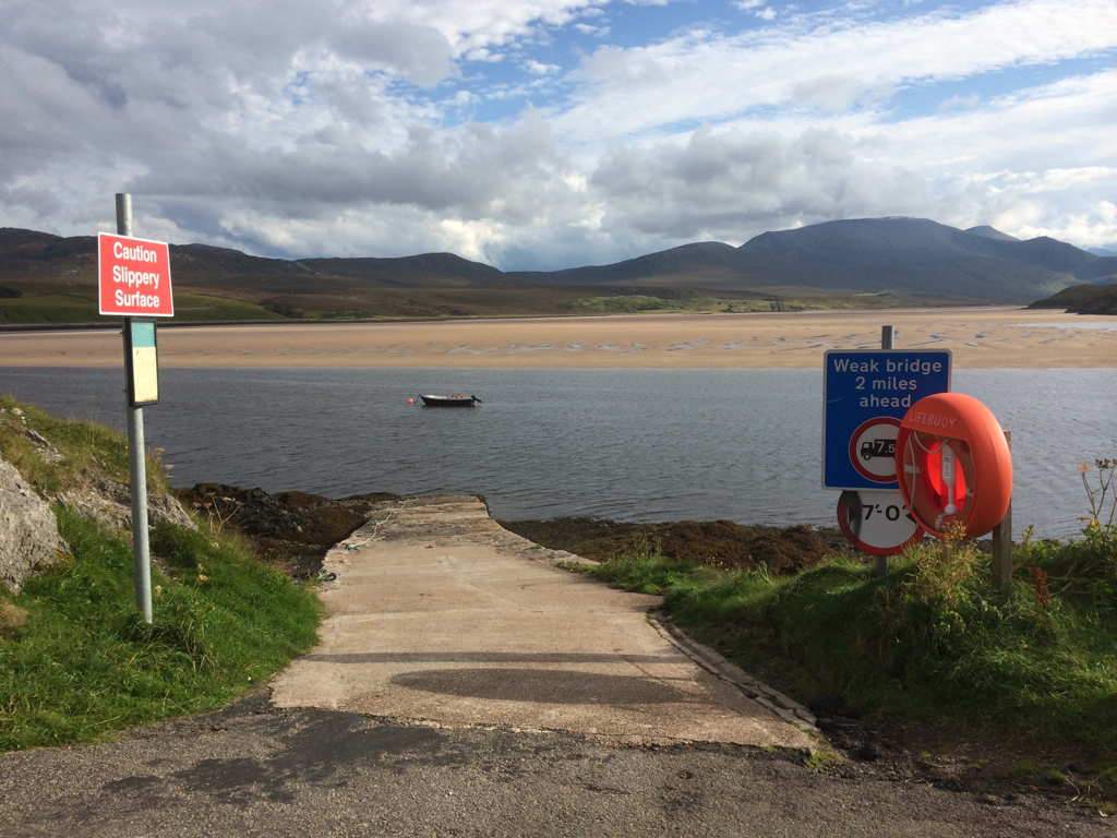
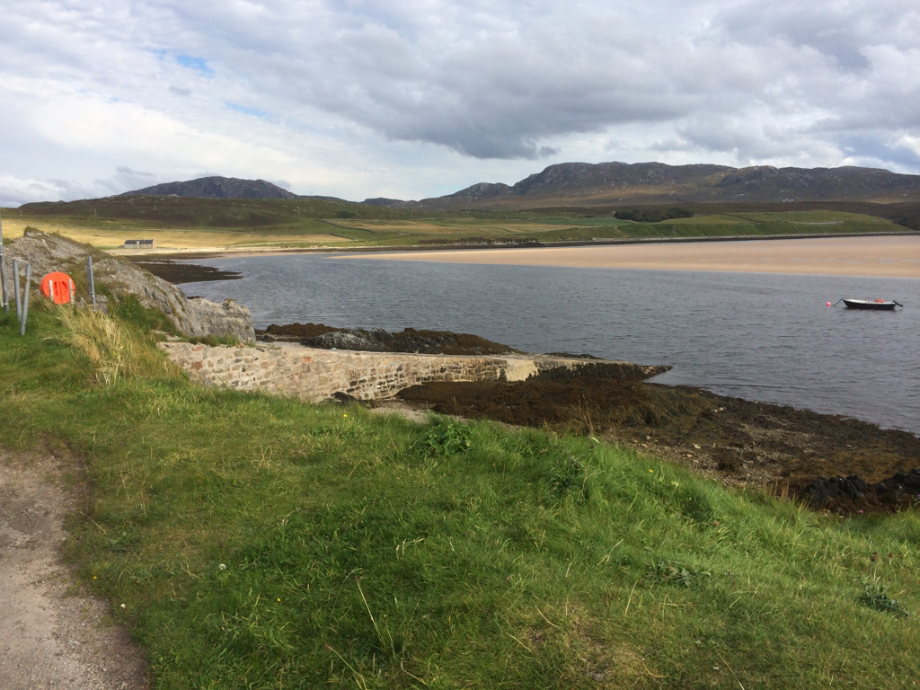
On the E side of the Kyle of Durness is a stone-built jetty heavily patched up with concrete and tarmac. It is constructed from large and small conglomerate blocks ranging from 0.8 m by 0.8 m by 0.5 m to 0.3 m by 0.3 m by 0.1 m. The visible length at time of visit was 30 m but the jetty appeared to continue for some distance below the water. The width of the jetty is 3.5 m and it has a maximum height of 2.1 m at the W and 0.75 m at the E. The seaward side of the jetty is very ragged and repaired and has clearly lost some stonework.
August 2014
The jetty is still in use for the Cape Wrath ferry and is being maintained.
Location
237770.00
966150.00
27700
58.5530624
-4.7898240
Submitted photographs
Image
Date
Caption
User
30/08/2014
Keoldale Jetty
training1
30/08/2014
Keoldale jetty
training1
Submitted updates
Update id
Date
User
1740
30/08/2014
training1
Tidal state
Low
Site located?
Yes
Proximity to coast edge
Intertidal
Coastally eroding?
not eroding
Threats
structural damage/decay
Visibility above ground
Highly visible (substantial remains)
Access
easily accessible - no restrictions; vehicular access
Local knowledge
is well visited
Description
On the E side of the Kyle of Durness is a stone-built jetty heavily patched up with concrete and tarmac. It is constructed from large and small conglomerate blocks ranging from 0.8 m by 0.8 m by 0.5 m to 0.3 m by 0.3 m by 0.1 m. The visible length at time of visit was 30 m but the jetty appeared to continue for some distance below the water. The width of the jetty is 3.5 m and it has a maximum height of 2.1 m at the W and 0.75 m at the E. The seaward side of the jetty is very ragged and repaired and has clearly lost some stonework.
The jetty is in use for the Cape Wrath ferry and is being maintained. Remove from priorities.