DALBEATTIE PORT or Dub O'Hass (4007)
Condition
| 3 | |
| Harbour | |
| Post-Medieval, Modern | |
| 64999 | |
| MDG4572 | |
| Dumfries and Galloway |
Description
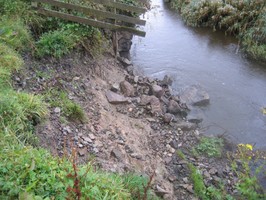
| Stone quay walls upstanding at a tidal river bank. Under threat from river channel. 03/09/2013 Stone and timber quay walls obscured by thick vegetation in the summer. Where visible in places they are in poor condition and collapsing into channel. Ground very boggy and churned up by cows. Path improvement, vegetation clearance and installation of an interpretation panel in 2008 by community group, although all not well maintained. For historical information about the port see the Dalbeattie museum website: http://www.dalbeattiemuseum.co.uk/stories/harbours-and-quays-from-solway-firth-to-dalbeattie/ |
Location
| 283047.00 | |
| 560366.00 | |
| 27700 | |
| 54.9242363 | |
| -3.8264329 |
Submitted photographs
| Image | Date | Caption | User |
|---|---|---|---|

|
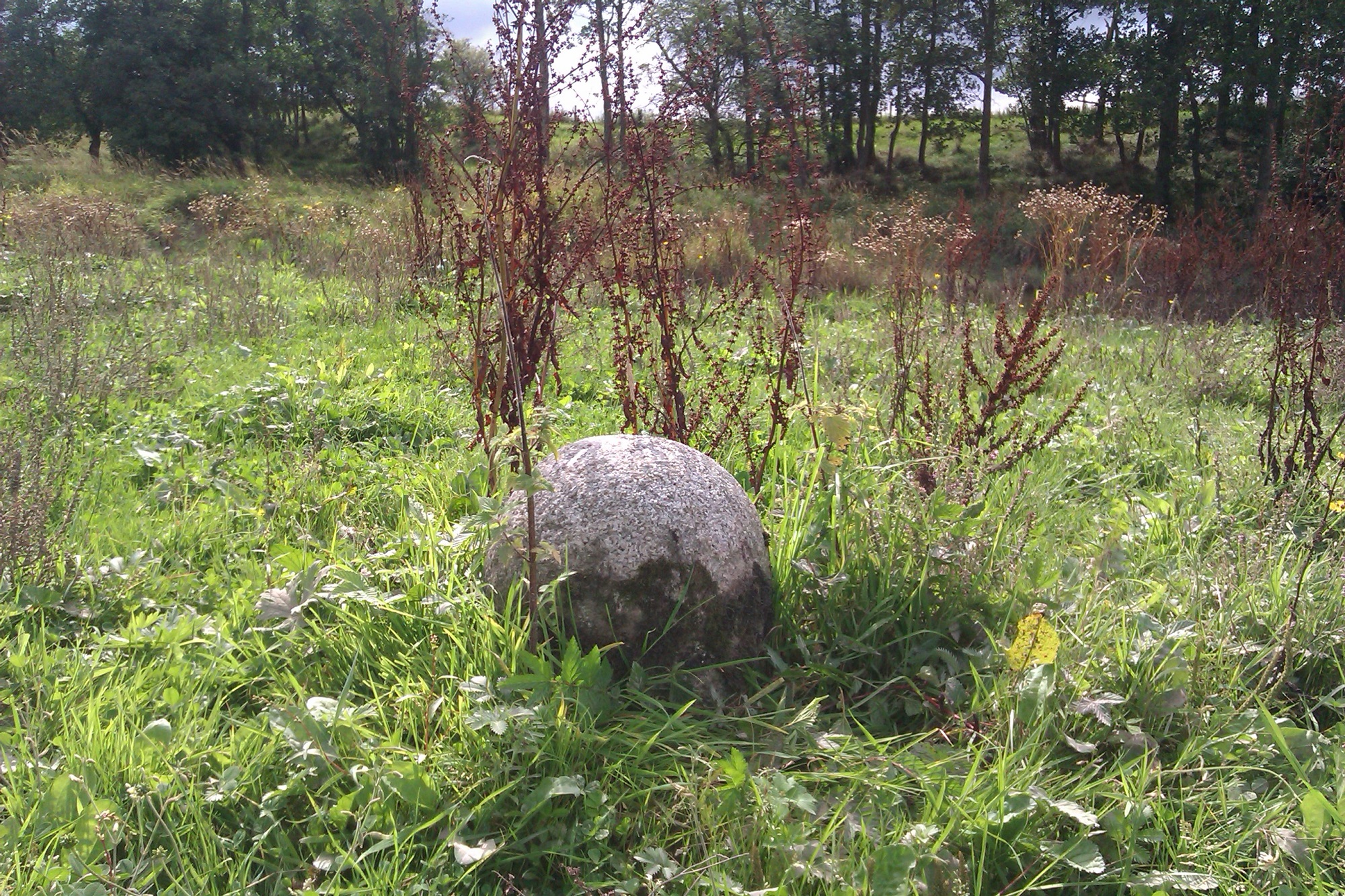
03/09/2013 | Detail of granite bollard | training1 |
|
|||

|
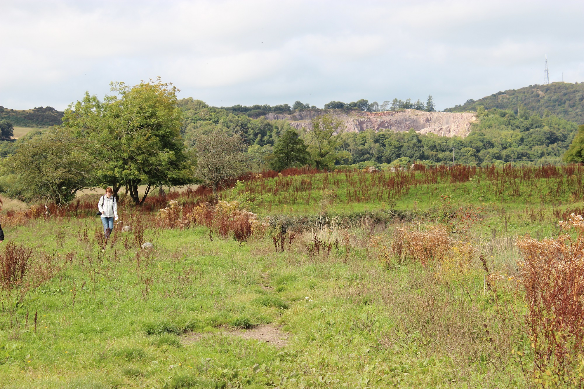
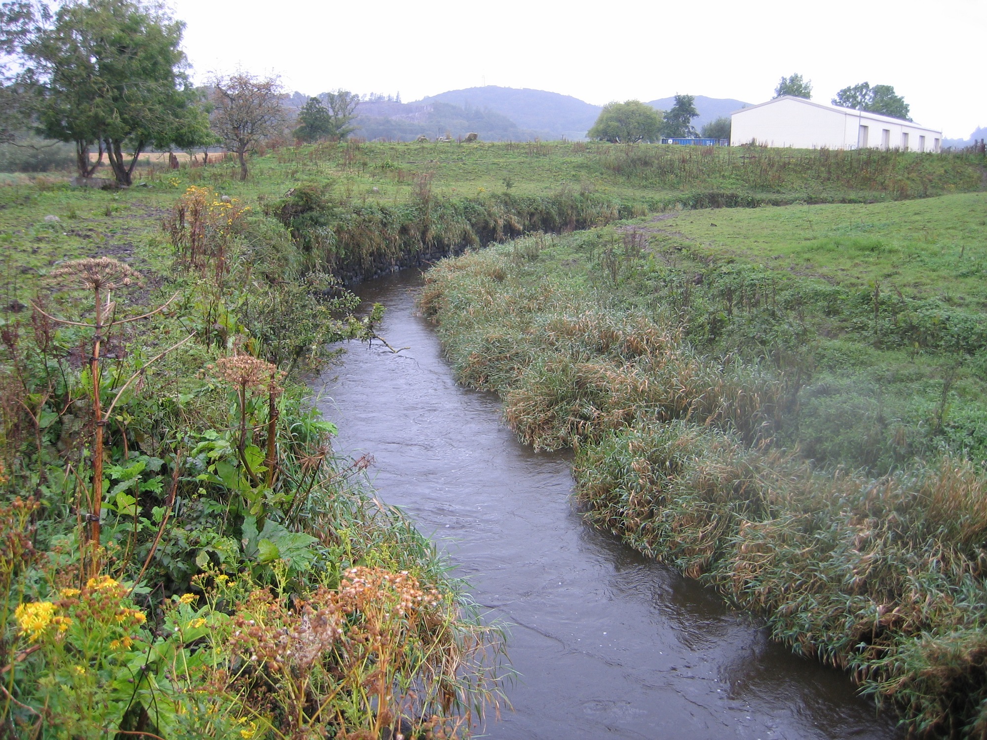
03/09/2013 | General view (summer) towards Craignair granite quarry. Granite bollards just visible. | training1 |
|
|||

|
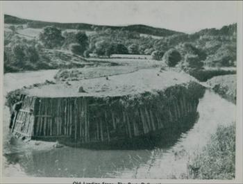
03/09/2013 | 19th century photo of the timber revetted quayside from Dalbeattie Museum website. | training1 |
|
|||
|
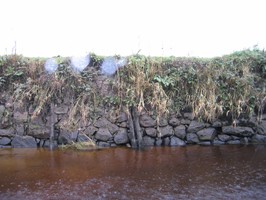
03/09/2013 | Detail of quay wall collapsing into channel | training1 |

|
|||
|
03/09/2013 | Detail of stone and timber revetment | training1 |
|
|||

|
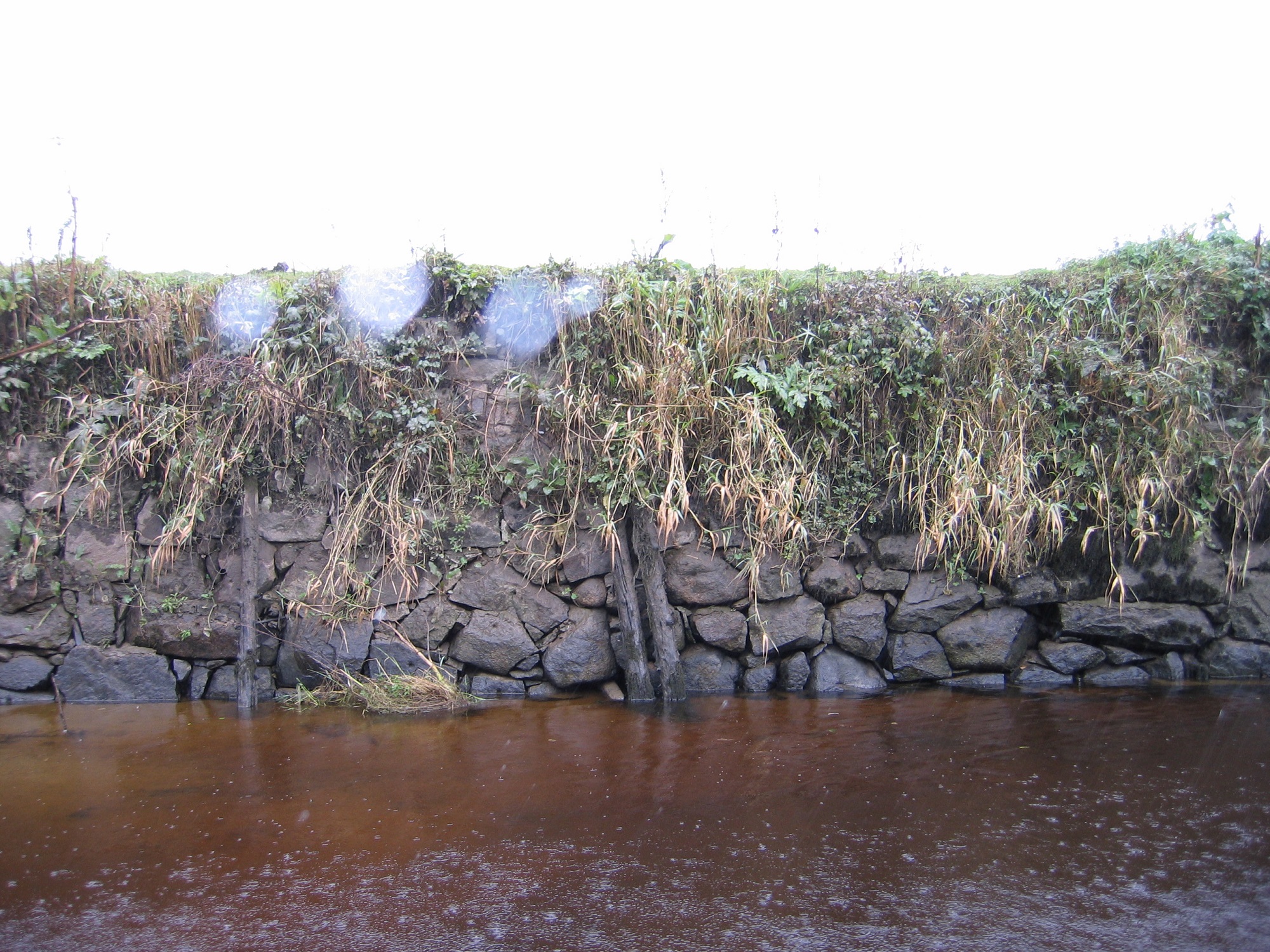
03/09/2013 | View of channel looking east. Stone revetted quay wall visible on left side of photo. | training1 |
|
|||

|
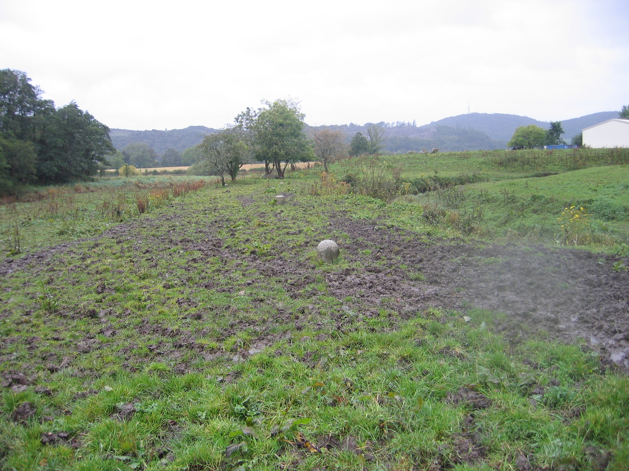
03/09/2013 | General view looking NW towards Craignair granite quarry. Line of granite bollards parallel to quay side | training1 |
|
|||
Submitted updates
| Update id | Date | User | ||||||||||||||||||||||
|---|---|---|---|---|---|---|---|---|---|---|---|---|---|---|---|---|---|---|---|---|---|---|---|---|
| 1279 | 03/09/2013 | nat | ||||||||||||||||||||||
|
||||||||||||||||||||||||