NMRS descriptions as follows:
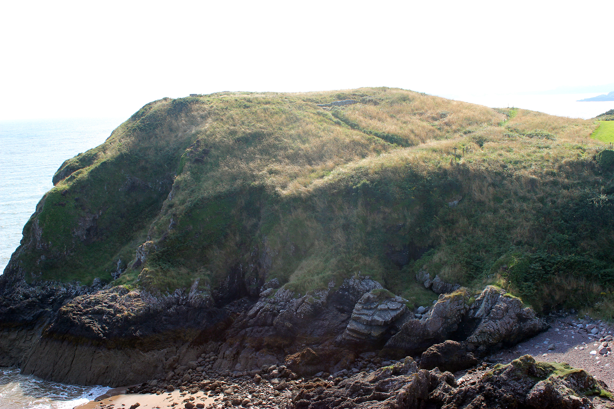
This fort, which occupies a bold promontory on the E side of the mouth of the Urr Water, consists of an oval enclosure measuring axially 140' by 95' within a substantial ruin of a stone wall c.10' thick, faced with large squared blocks laid in courses. This is defended on the landward side by a broad rock-cut ditch, with a rampart on the outer lip, through which passes an approach 9-10' wide, c.80' from the W end, leading to an entrance in the wall 76' from the W cliff. The W side of the entrance, faced with a slab, and having a single stone to form the outer angle, is preserved for some 5' inwards. Early Md pottery from here is in Dumfries Museum.
R W Feachem 1963; RCAHMS 1914, visited 1911; F R Coles 1893
A castle, which was placed second in Timothy Pont's List of Castles and Gentlemen's Houses of Chief Note in Galloway, stood on Castlehill of Barcloy.
M Harper 1896; Name Book 1850
A fort generally as described by Feachem. The exposed inner rampart is of large unmortared blocks with pinnings (typical IA construction). On the top of the promontory is a very slight rectangular platform, possibly the site of the castle.
Published survey (25") revised.
Visited by OS (RD) 15 December 1969.
05/09/2013
As described. Grass and gorse covered with main erosion and threat coming from visitors.
04/09/2013
Minor visitor path erosion through bank and ditch.
Location
285410.00
552420.00
27700
54.8534164
-3.7864194
Submitted photographs
Image
Date
Caption
User
04/09/2013
Detail of stone walling of inner rampart.
training1
04/09/2013
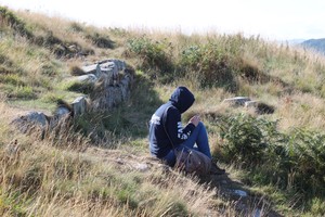
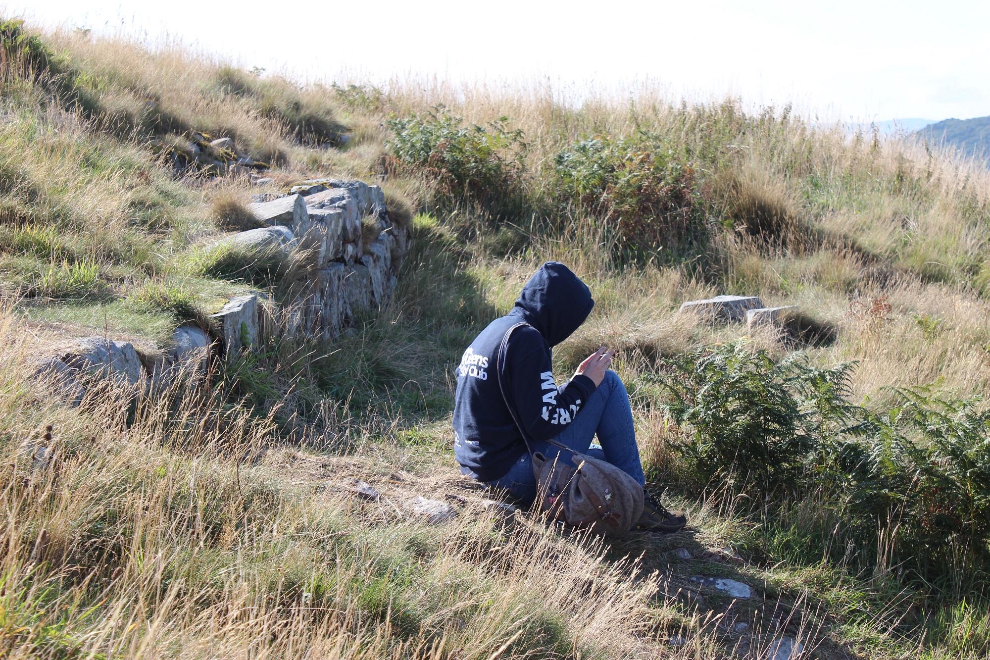
View of northeast side of the fort showing Iron Age bank and ditch and medieval walling. Looking SW
training1
Submitted updates
Update id
Date
User
1281
04/09/2013
Derek85
Tidal state
Mid
Site located?
Yes
Proximity to coast edge
Coast edge
Coastally eroding?
not eroding
Threats
vegetation growth; visitor erosion
Other threats
Slight visitor erosion through bank and ditch. Vegetation could become a problem if not managed.
Visibility above ground
Limited visibility (partial remains)
Access
accessible on foot (footpath)
Local knowledge
is well known; is well visited
Description
NMRS descriptions as follows:
This fort, which occupies a bold promontory on the E side of the mouth of the Urr Water, consists of an oval enclosure measuring axially 140' by 95' within a substantial ruin of a stone wall c.10' thick, faced with large squared blocks laid in courses. This is defended on the landward side by a broad rock-cut ditch, with a rampart on the outer lip, through which passes an approach 9-10' wide, c.80' from the W end, leading to an entrance in the wall 76' from the W cliff. The W side of the entrance, faced with a slab, and having a single stone to form the outer angle, is preserved for some 5' inwards. Early Md pottery from here is in Dumfries Museum.
R W Feachem 1963; RCAHMS 1914, visited 1911; F R Coles 1893
A castle, which was placed second in Timothy Pont's List of Castles and Gentlemen's Houses of Chief Note in Galloway, stood on Castlehill of Barcloy.
M Harper 1896; Name Book 1850
A fort generally as described by Feachem. The exposed inner rampart is of large unmortared blocks with pinnings (typical IA construction). On the top of the promontory is a very slight rectangular platform, possibly the site of the castle.
Published survey (25") revised.
Visited by OS (RD) 15 December 1969.
05/09/2013
As described. Grass and gorse covered with main erosion and threat coming from visitors.
04/09/2013
Minor visitor path erosion through bank and ditch.
The fort area is not grazed and scrub vegetation is taking hold. If not grazed or cut, vegetation growth will become an issue.
971
12/05/2013
pamelawalker
Tidal state
High
Site located?
Yes
Proximity to coast edge
Coast edge
Coastally eroding?
not eroding
Threats
visitor erosion
Visibility above ground
Highly visible (substantial remains)
Access
accessible on foot (footpath)
Local knowledge
is well known; is well visited
Description
As described. Grass and gorse covered with main erosion and threat coming from visitors.