| Tidal state |
Low |
| Site located? |
Yes |
| Proximity to coast edge |
Intertidal |
| Coastally eroding? |
active sea erosion |
| Visibility above ground |
Limited visibility (partial remains) |
| Access |
accessible - difficult terrain |
| Local knowledge |
is well known; is well visited; has local associations/history |
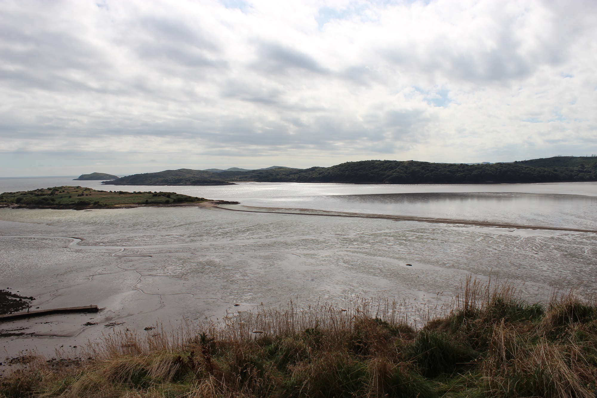
| Description |
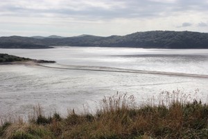
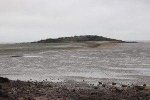
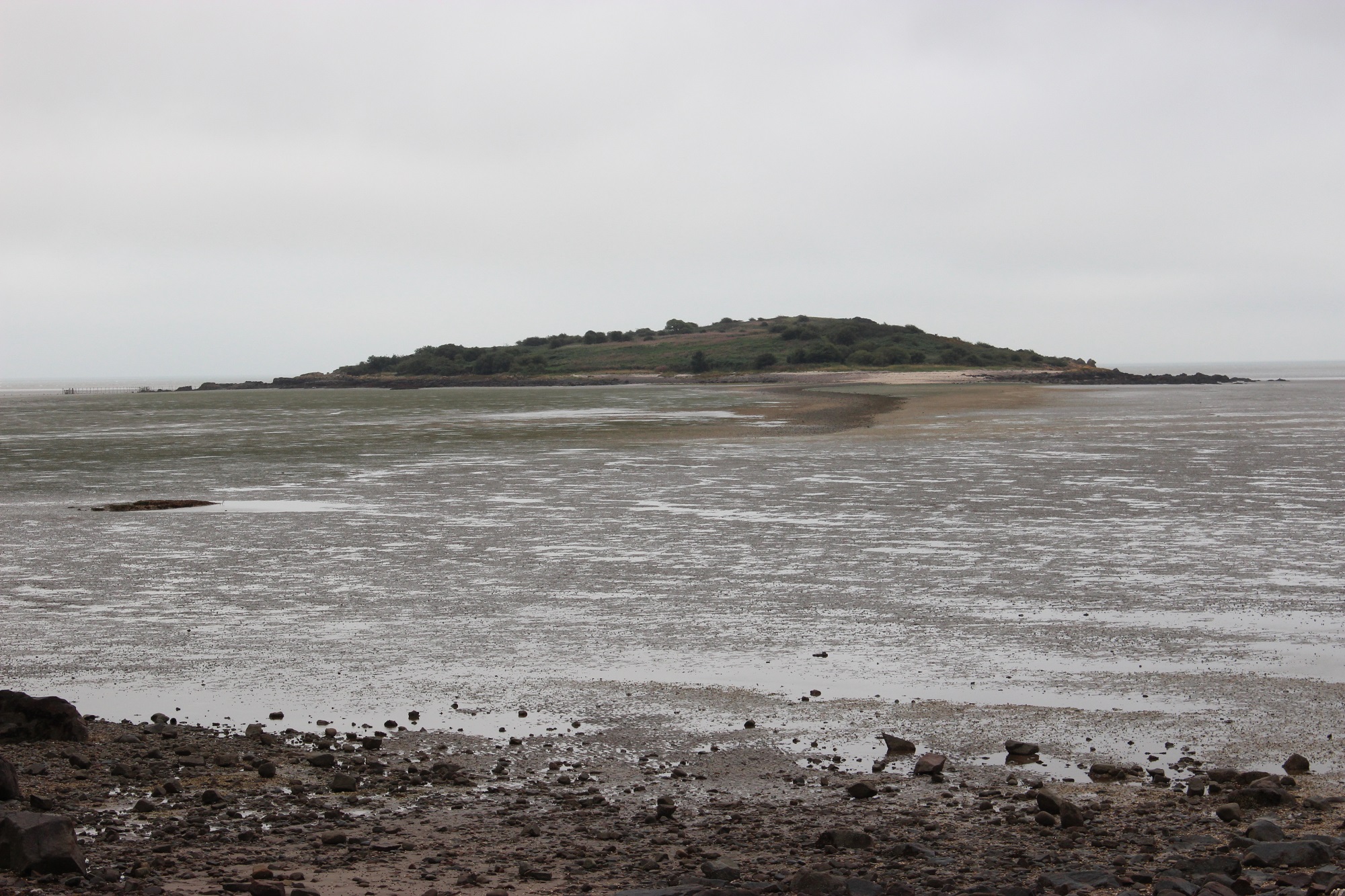
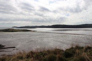
Linear upstanding causeway, consisting of deposited shell and cobbles. Intertidal zone with accreting silt. Orientated N-S, 0.7km x 7m x 0.2m.
04/09/2013
Curvilinear tidal causeway linking Rough Island with mainland at Roughfirth. A natural feature probably artificially enhanced. |
| Comments |
A well visited and well known feature. Owned and managed by NTS. A focus for local arts events e.g. Walking the Tide. |