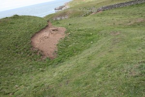
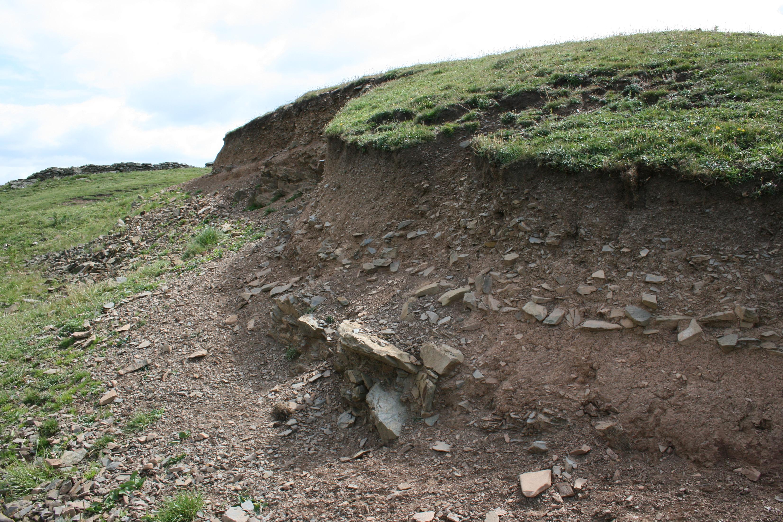
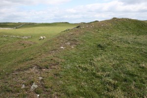
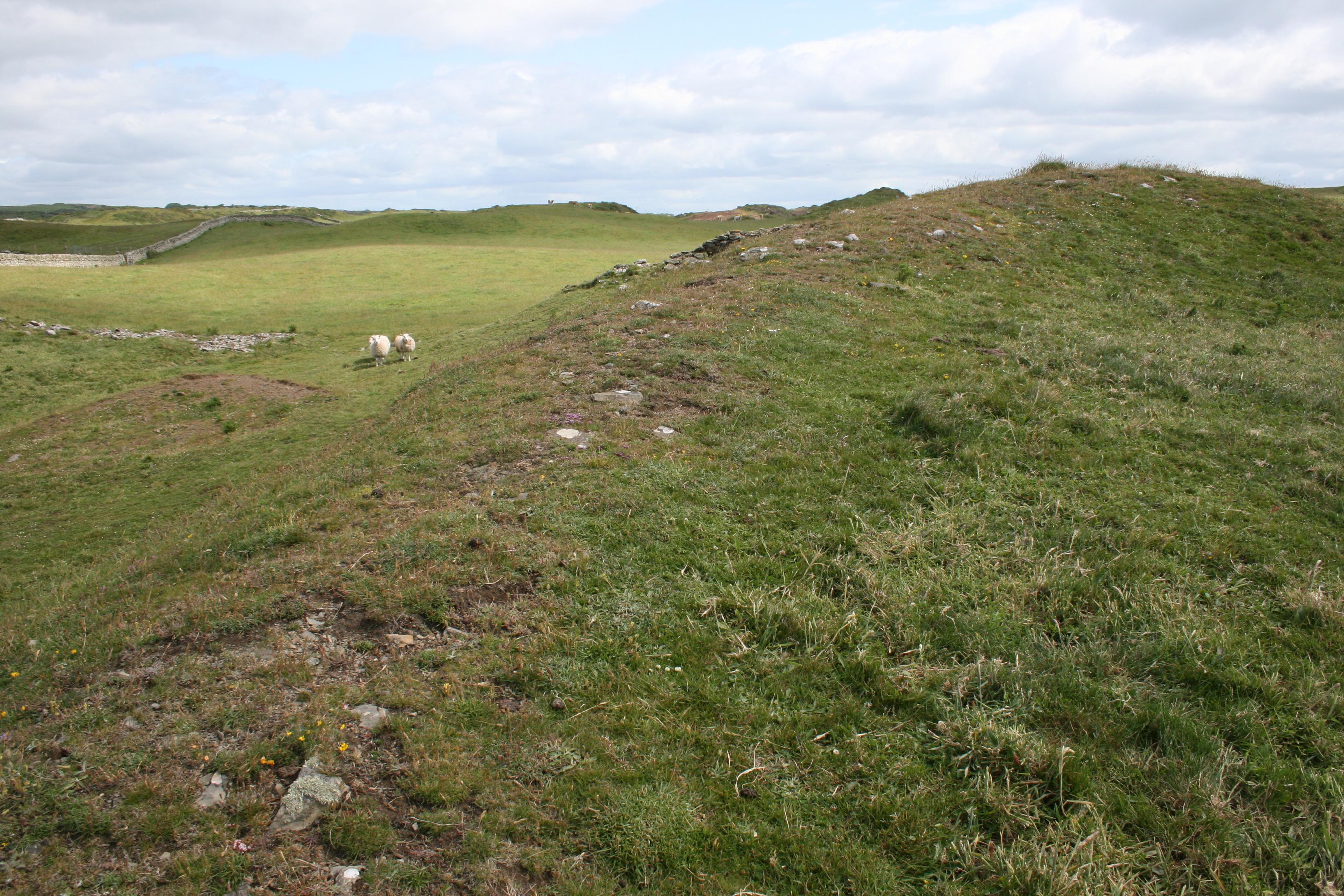
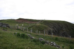
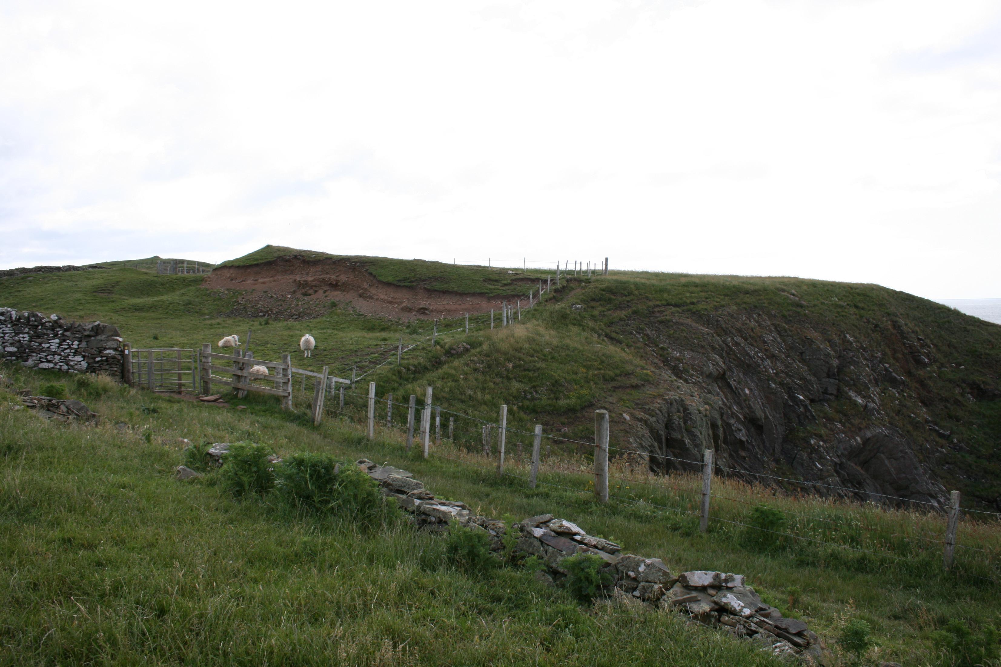
As described. Grass covered. 60ft x 12ft x 10ft high main, curved, partly exposed rampart plus possible rear rampart, with a small depression (bowl) of land in between. There is also a possible third rampart, to the west of the other two ramparts.
Ramparts suffering from subsidence due to animal activity and illegal removal of material on W edge of rampart. Coastal erosion is occurring particularly on W and E cliff edges below ramparts and visitor paths here are aggravating situation.
Location
245530.00
534150.00
27700
54.6786537
-4.3973517
Submitted photographs
Image
Date
Caption
User
24/06/2013
3851 - rear depression.
nigeljoslin
24/06/2013
3851 - Rampart Base
nigeljoslin
24/06/2013
381 - Rampart
nigeljoslin
24/06/2013
3851 - Site
nigeljoslin
Submitted updates
Update id
Date
User
1127
24/06/2013
nigeljoslin
Tidal state
Mid
Site located?
Yes
Proximity to coast edge
11-50m
Coastally eroding?
has eroded in the past
Threats
stock erosion; vegetation growth; visitor erosion
Visibility above ground
Limited visibility (partial remains)
Visibility in section
Not visible
Access
accessible on foot (footpath)
Local knowledge
don't know
Description
As described. Grass covered. 60ft x 12ft x 10ft high main, curved, partly exposed rampart plus possible rear rampart, with a small depression (bowl) of land in between. There is also a possible third rampart, to the west of the other two ramparts.
Ramparts suffering from subsidence due to animal activity and illegal removal of material on W edge of rampart. Coastal erosion is occurring particularly on W and E cliff edges below ramparts and visitor paths here are aggravating situation.
Possibly expose ramparts with an archeological dig and then consider what action to implement. (?)
If not, fence off the whole area from cattle and the footpath.