Laxdale (3483)
Condition
| 2 | |
| Settlement Mound | |
| Norse | |
| MWE140001 | |
| Na h-Eileanan Siar |
Description
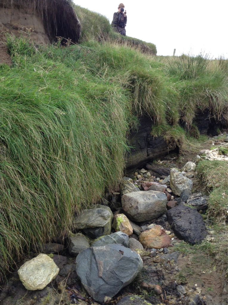
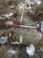
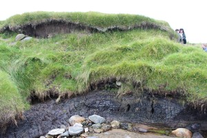
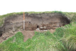
| A multi-period coastal settlement, dating from the Norse period to the 19th century. The extent of the settlement is unclear, but 1m of stratified deposits are visible in the eroding coast edge. Three separate occupation phases were visible when visited in 1998. A stone wall standing to three courses and a floor surface 1.5m below the wall sitting on a peat layer were noted in 2007, along with layers of charcoal and ash with fragments of burnt bone and pottery, spread over a length of 10m to the northeast of the wall. Finds recovered from the site include pottery of Norse date and whetstones. Update 19 September 2014 3 layers of stratigraphy and tumbled stones visible. Pottery found at base of east facing section. Circular stone structure visible on beach 2 metres in front of vertical face. South facing section contains a layer of stone in a peat layer. Boulders tumbled on beach in front of the section form a circle. Large stones visible at the top of the eroding face of the south facing section. Small layer of midden in sand face. |
Location
| 143965.00 | |
| 934792.00 | |
| 27700 | |
| 58.2272034 | |
| -6.3626475 |
Submitted photographs
| Image | Date | Caption | User |
|---|---|---|---|
|
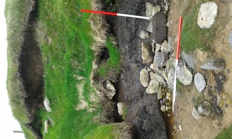
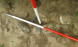
13/06/2015 | 13/06/15: Stone in south facing section | jann |
|
|||
|
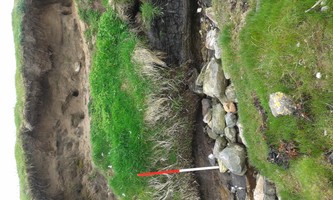
13/06/2015 | 13/06/15: Tumbling stone from East facing bank | jann |
|
|||
|
13/06/2015 | 13/06/15: Stone setting | jann |

|
|||
|
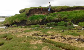
13/06/2015 | 13/06/2015: General view of NE facing section | jann |
|
|||
|
19/09/2014 | Laxdale settlement mound - east facing section with tumbled stone on beach | training1 |
|
|||
|
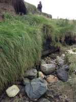
19/09/2014 | Laxdale settlement mound - circular structure on beach in front of E-facing section | training1 |

|
|||
|
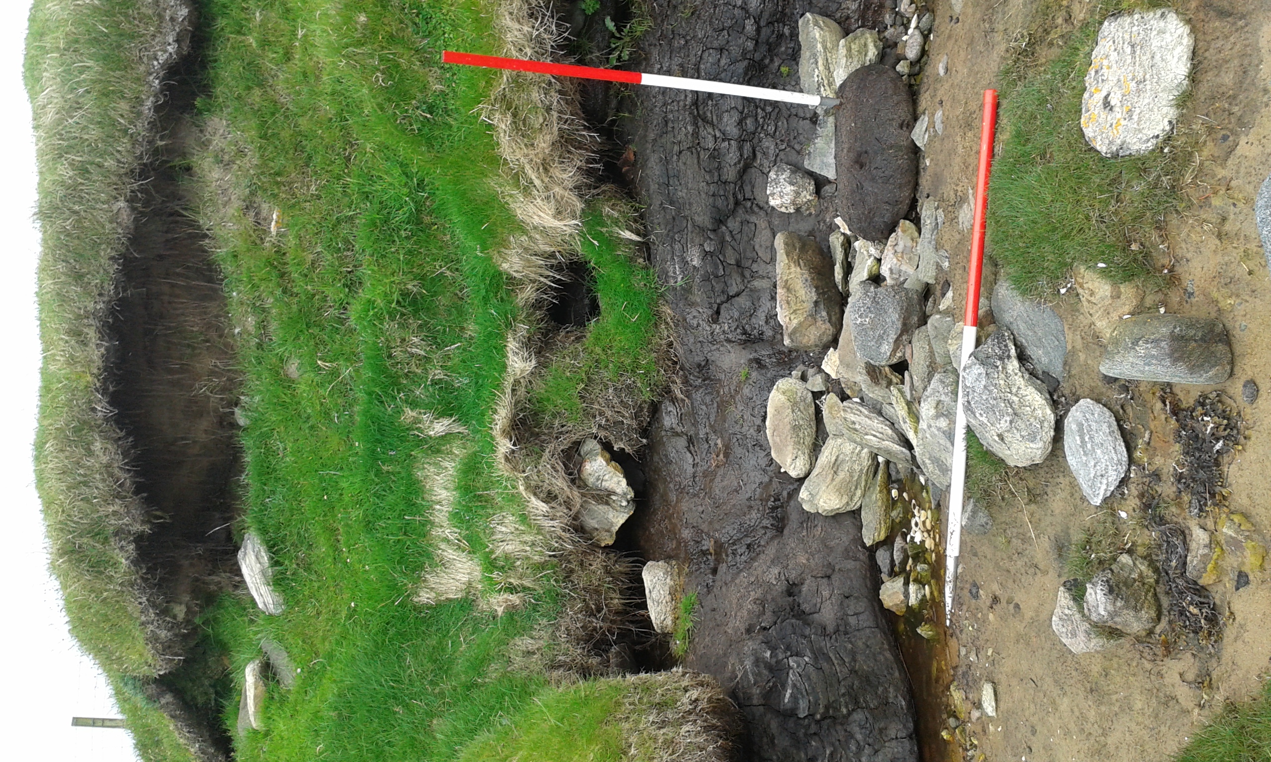
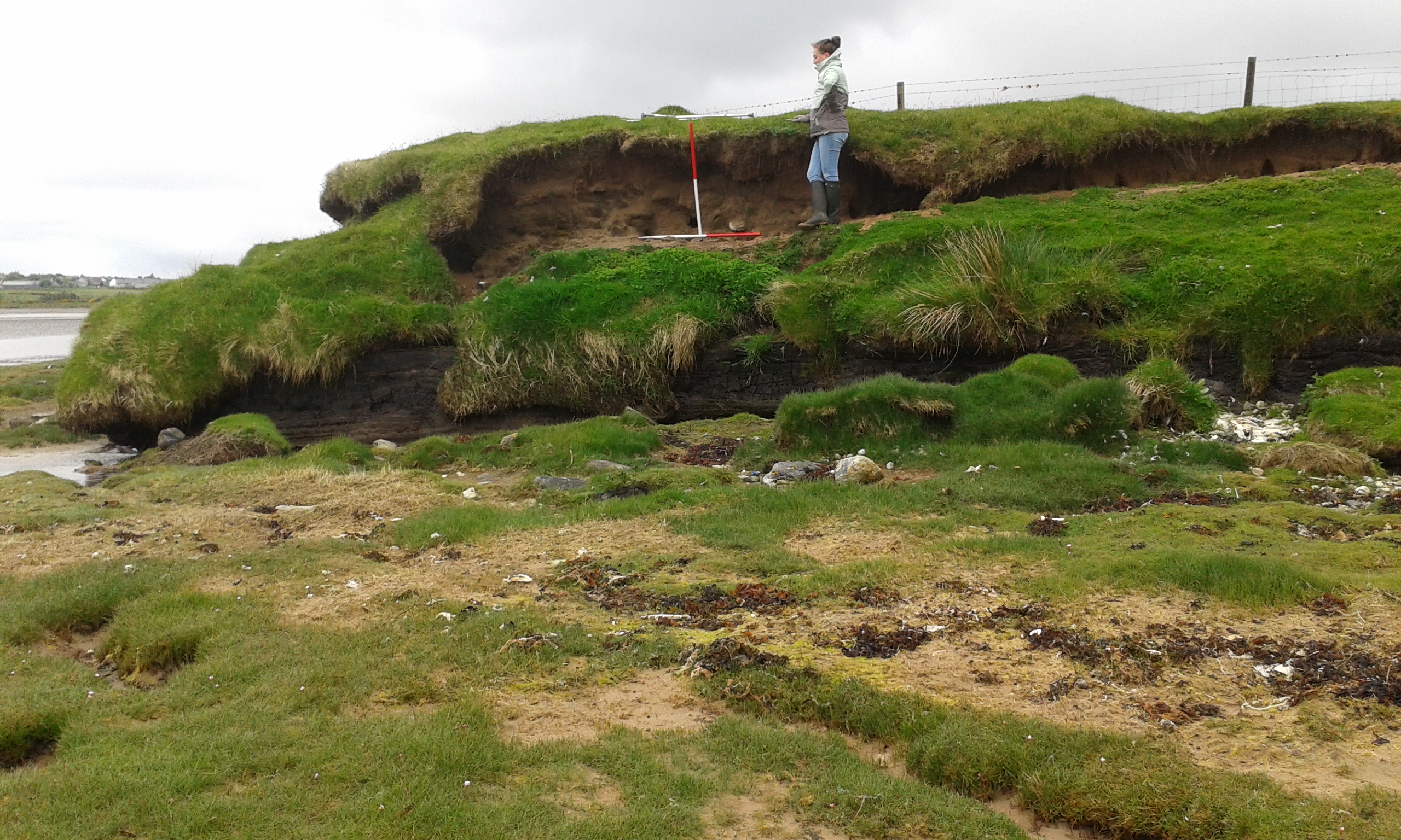
19/09/2014 | Laxdale settlement mound - south facing section | training1 |

|
|||
|
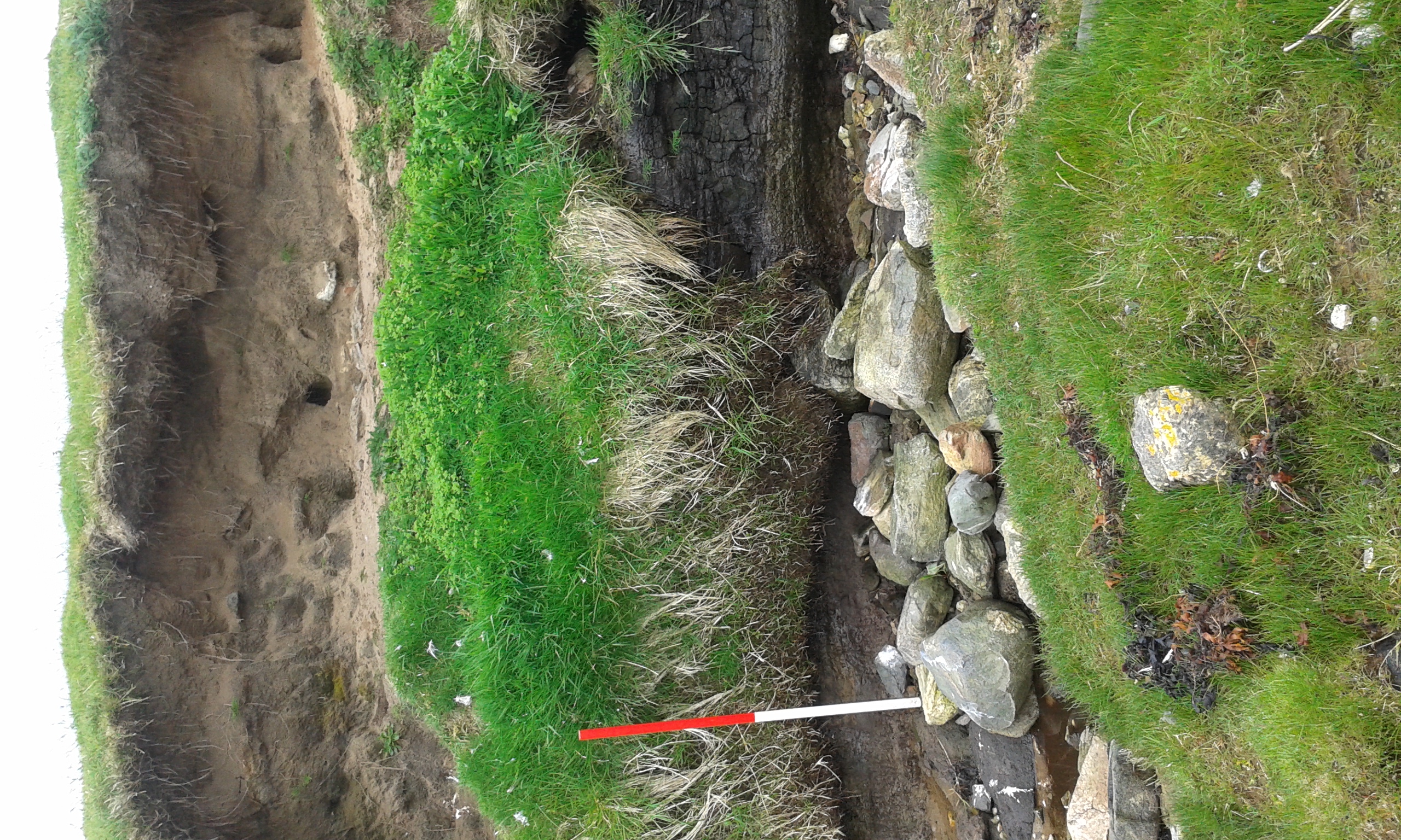
19/09/2014 | Laxdale settlement mound - east facing section | training1 |

|
|||
|
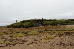
19/09/2014 | Laxdale settlement mound - general view | training1 |

|
|||
Submitted updates
| Update id | Date | User | ||||||||||||||||||||||||
|---|---|---|---|---|---|---|---|---|---|---|---|---|---|---|---|---|---|---|---|---|---|---|---|---|---|---|
| 1779 | 19/09/2014 | training1 | ||||||||||||||||||||||||
|
||||||||||||||||||||||||||