Swainbost (3291)
Description
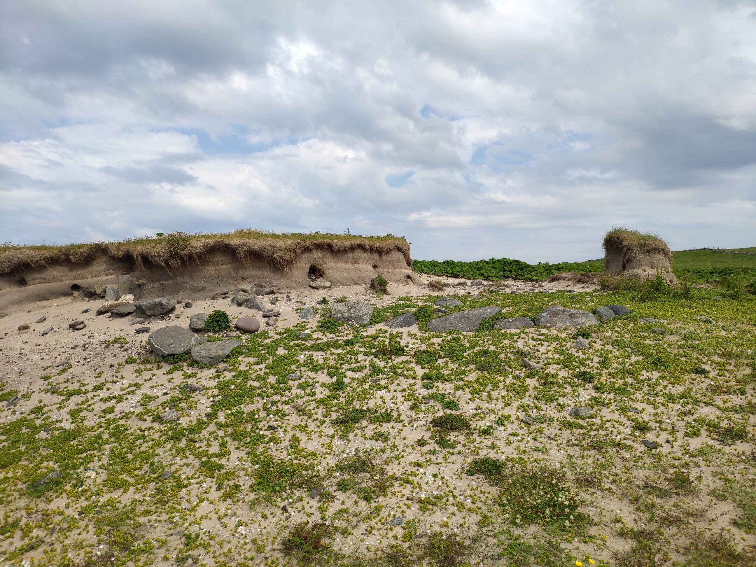
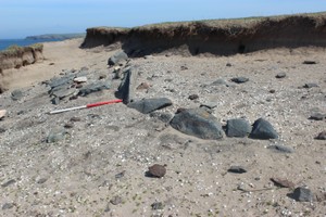
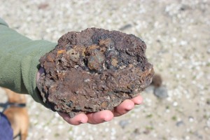
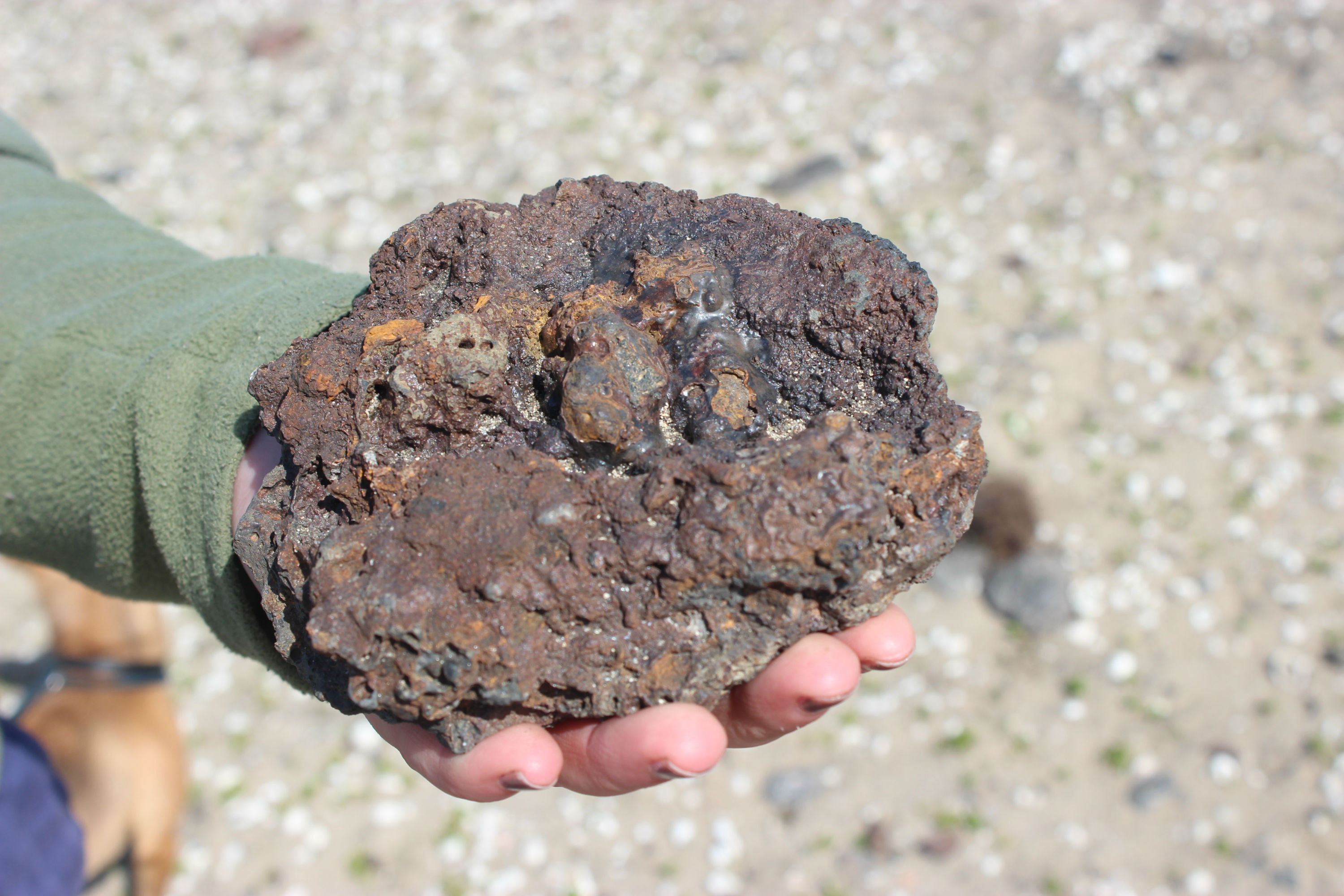
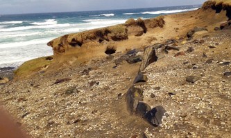
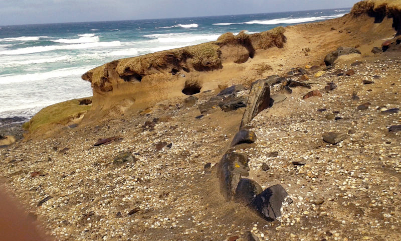
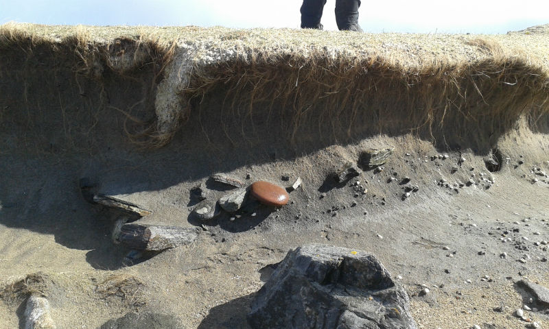
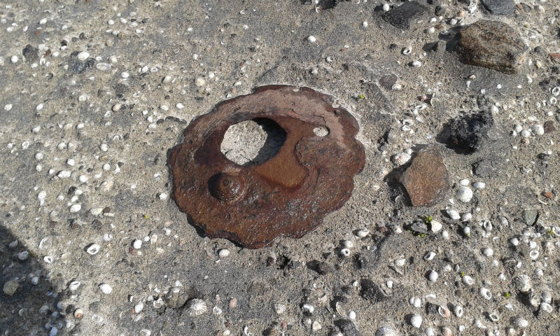
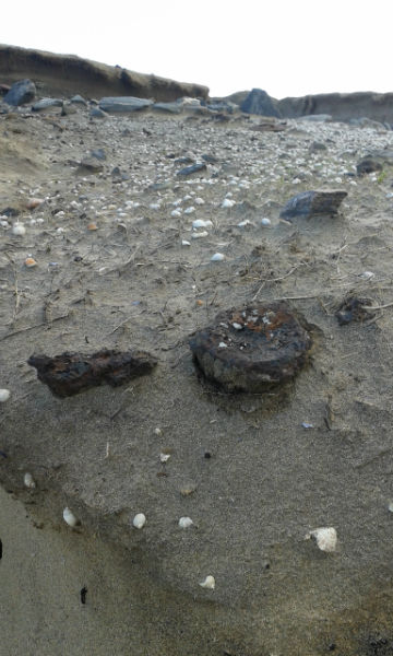
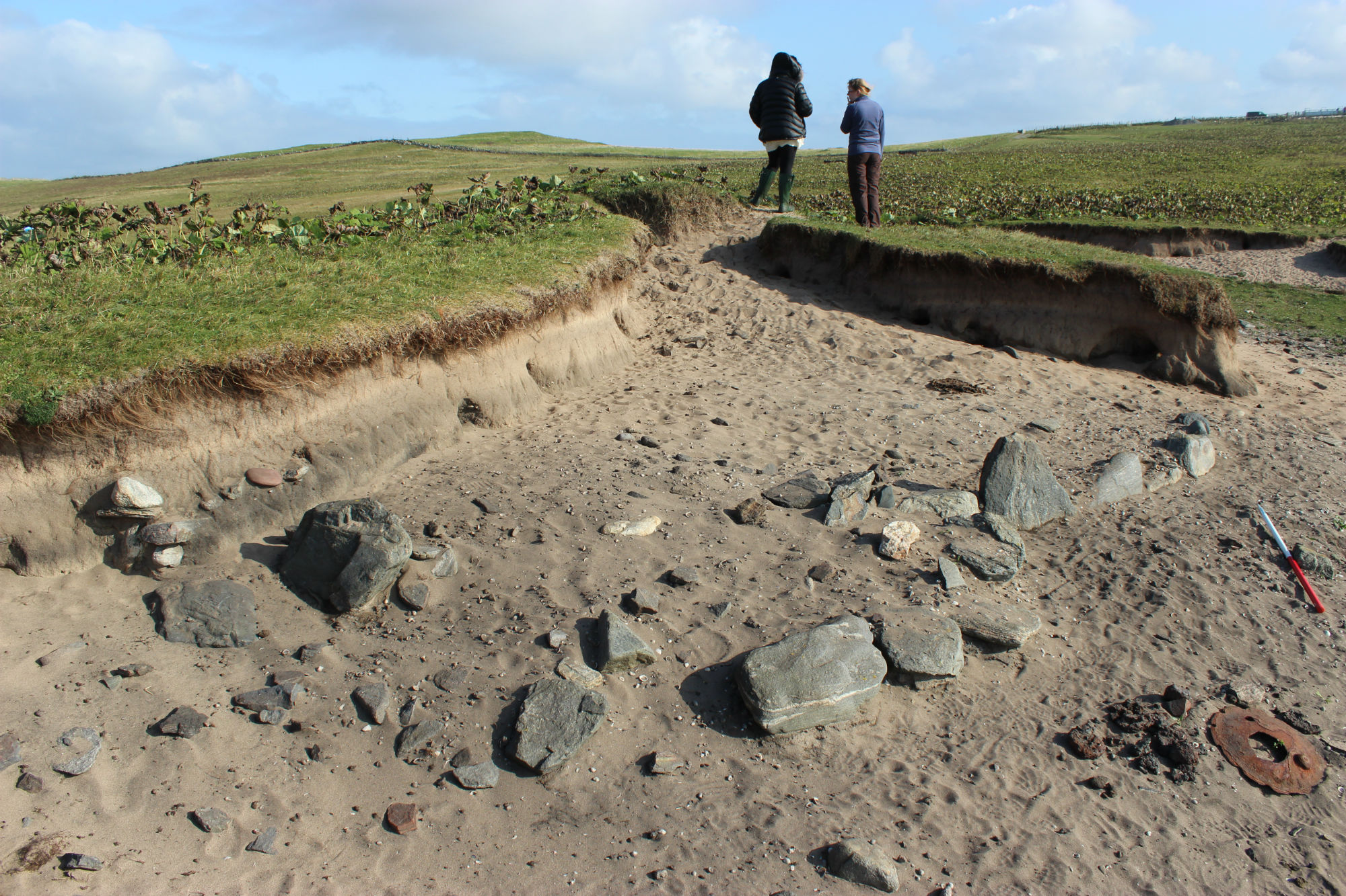
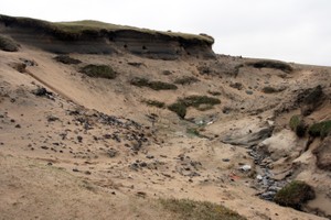
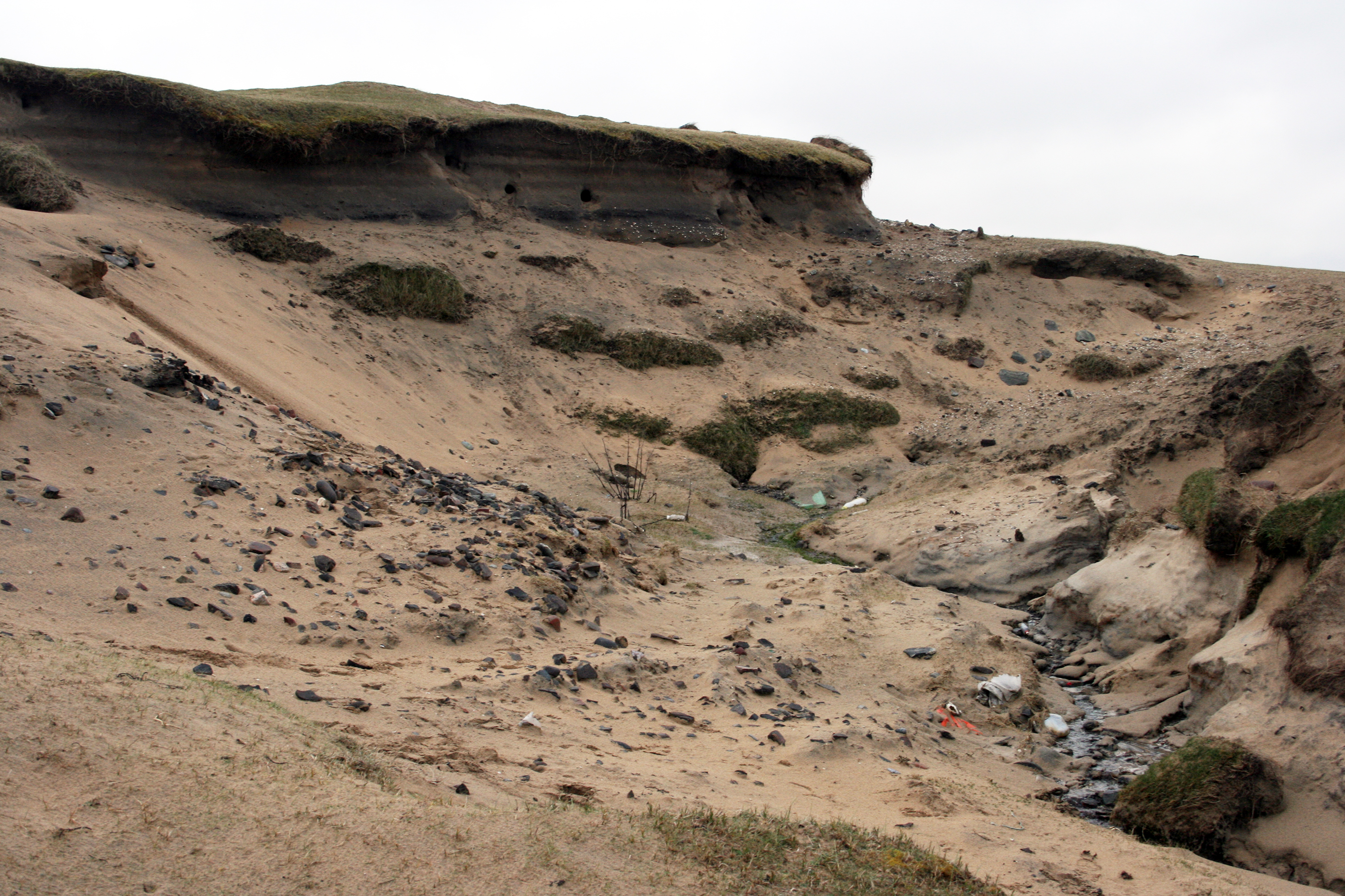
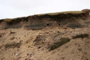
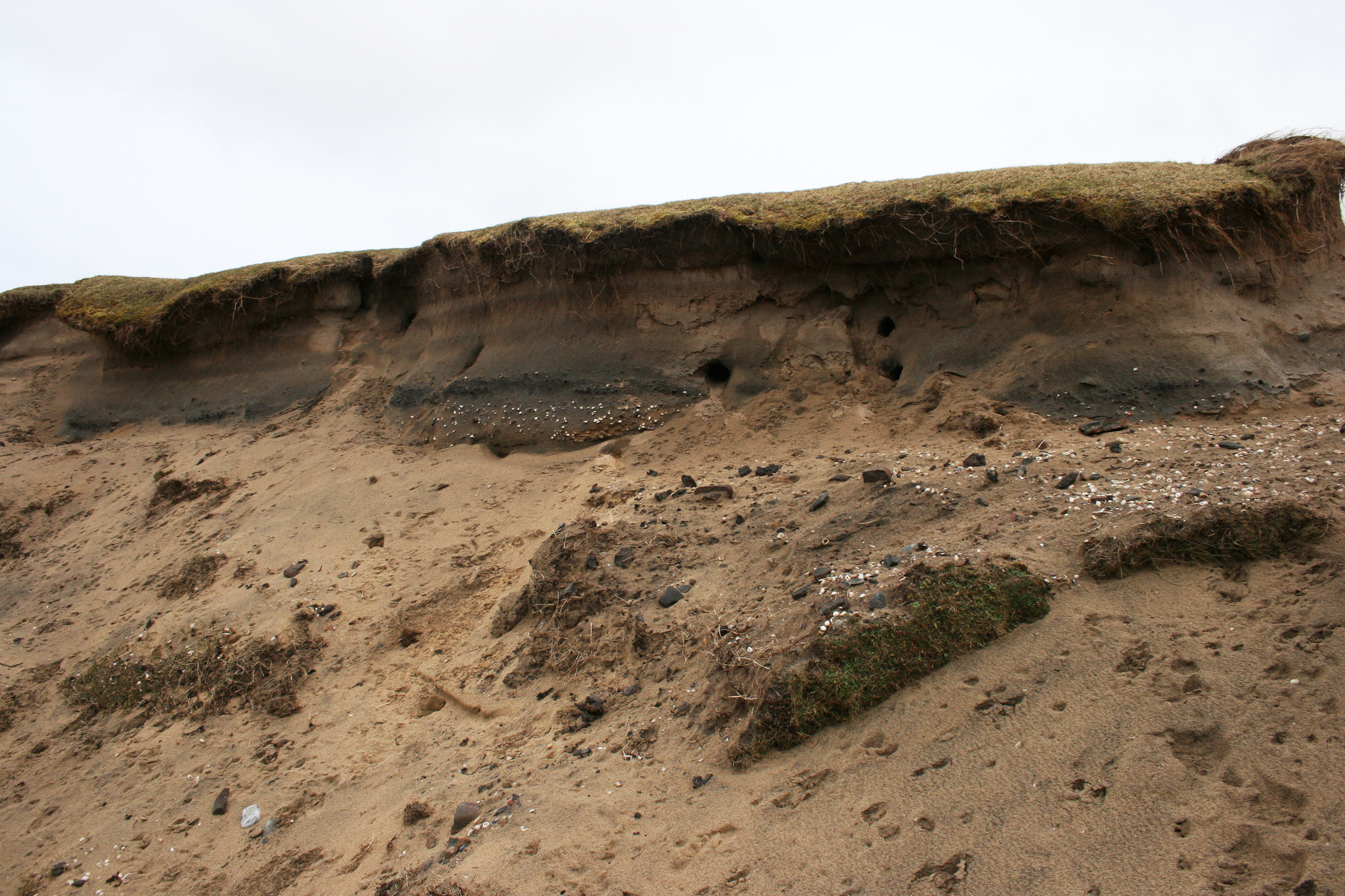
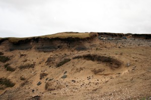
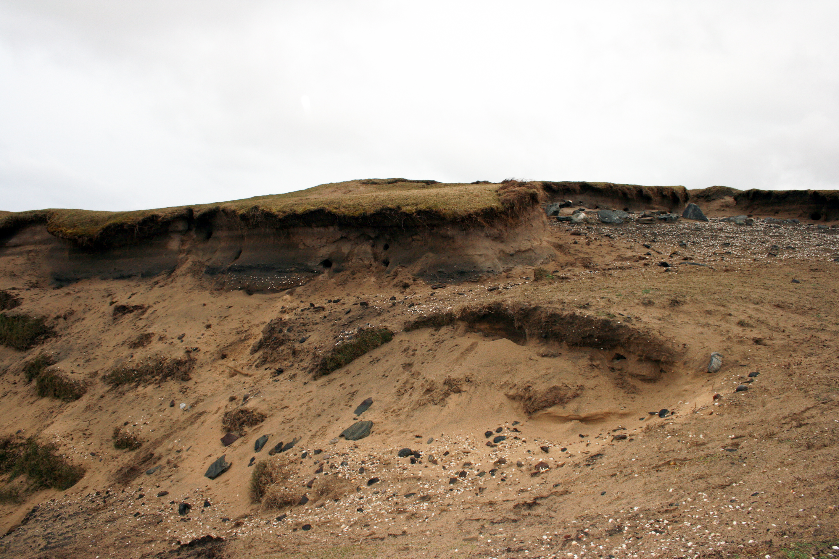
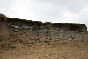
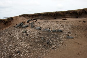
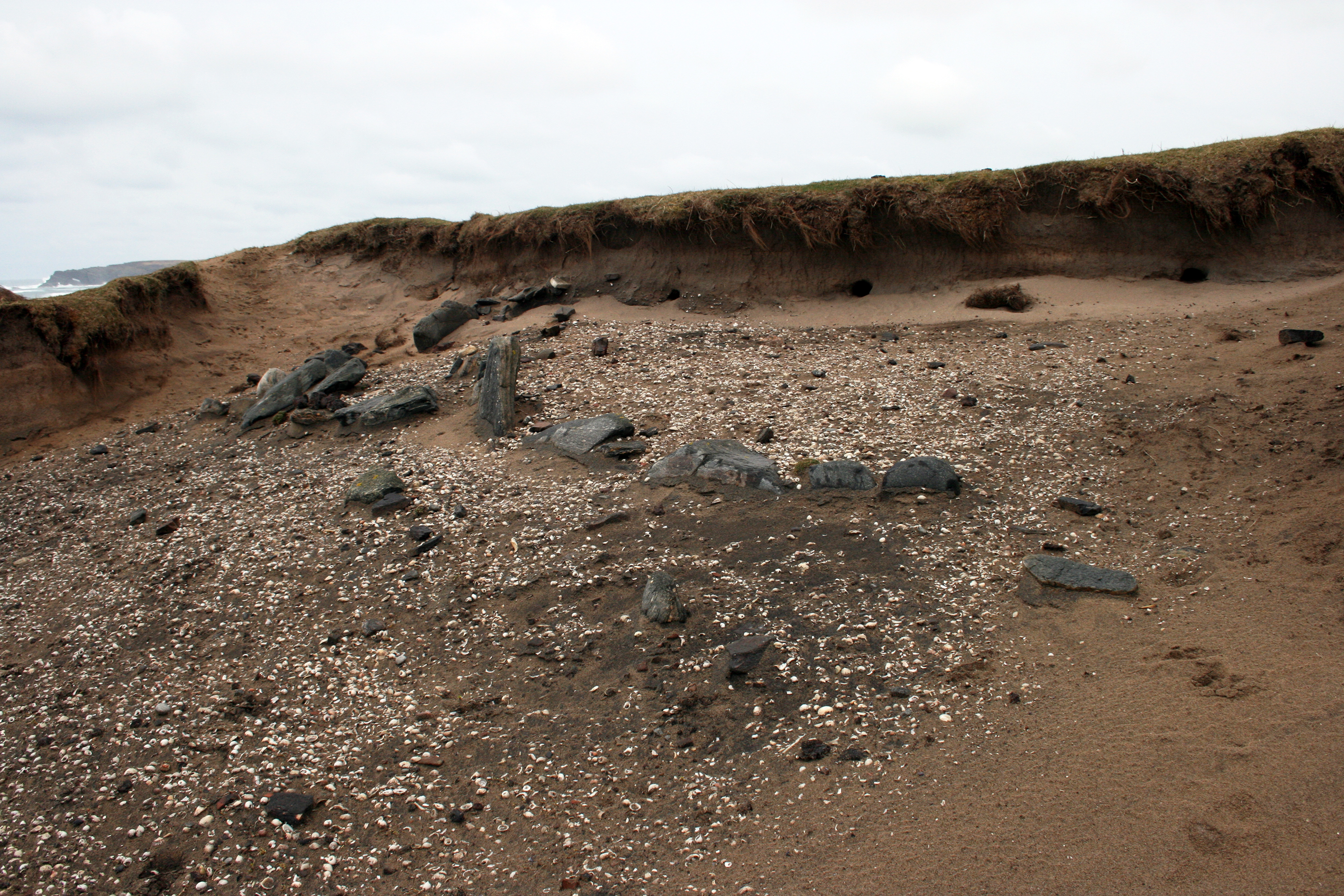
| Same as site 3750 The remains of an iron-working complex are visible in an erosion hollow, including furnace bases, walling and midden material. The southwest end of the base of a curving wall is exposed in an erosion hollow of c. 4m square in the dunes at Traigh Shuaineboist at Suainebost (Swainbost). A further stone structure abuts the west side of the wall. All the walls continue northwards into the section. The wall is associated with a lightly compacted layer of friable very dark brown/black organic sand containing charcoal and ash. It could be a former ground surface. The whole area is covered with shells and frequent pottery, bone, and iron slag, with occasional copper slag, and iron and copper fragments. The black deposits and archaeological material extend across the area enclosed by the walling and spreads southwards outside and beyond the wall until it peters out in the grass covered dune. A compacted black layer associated with frequent shell can be seen in the dune section for at least 10m west of the site. It is probably the same layer. Finds recovered from the site include: iron slag and pottery of medieval to post-medieval date, animal bone, heat-cracked stone, quartz flakes, burnt flint, a stone pot lid, iron objects, shells, metal working debris, copper sheeting and a possible saddle quern. In May/June 2017 an evaluation of the site was carried out by MacLeod Archaeology. The results have been interpretated as an early modern iron and copper working smithy and Viking Age settlement mound. |
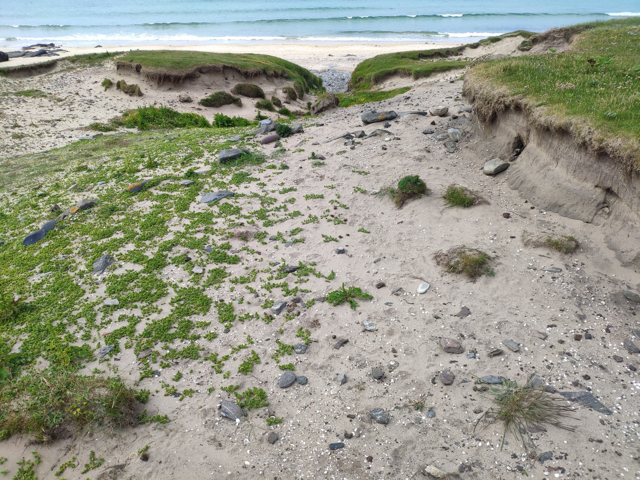
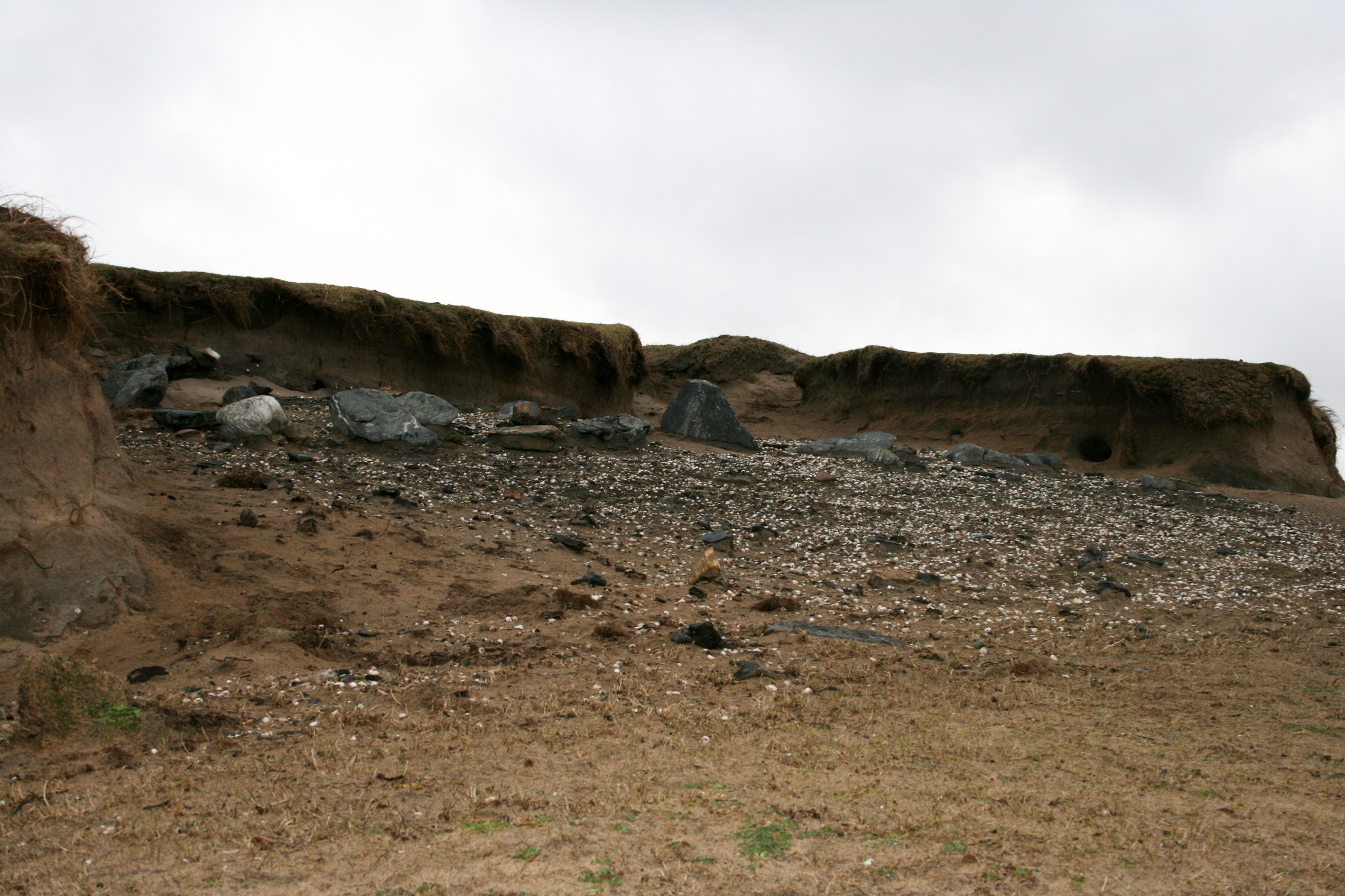
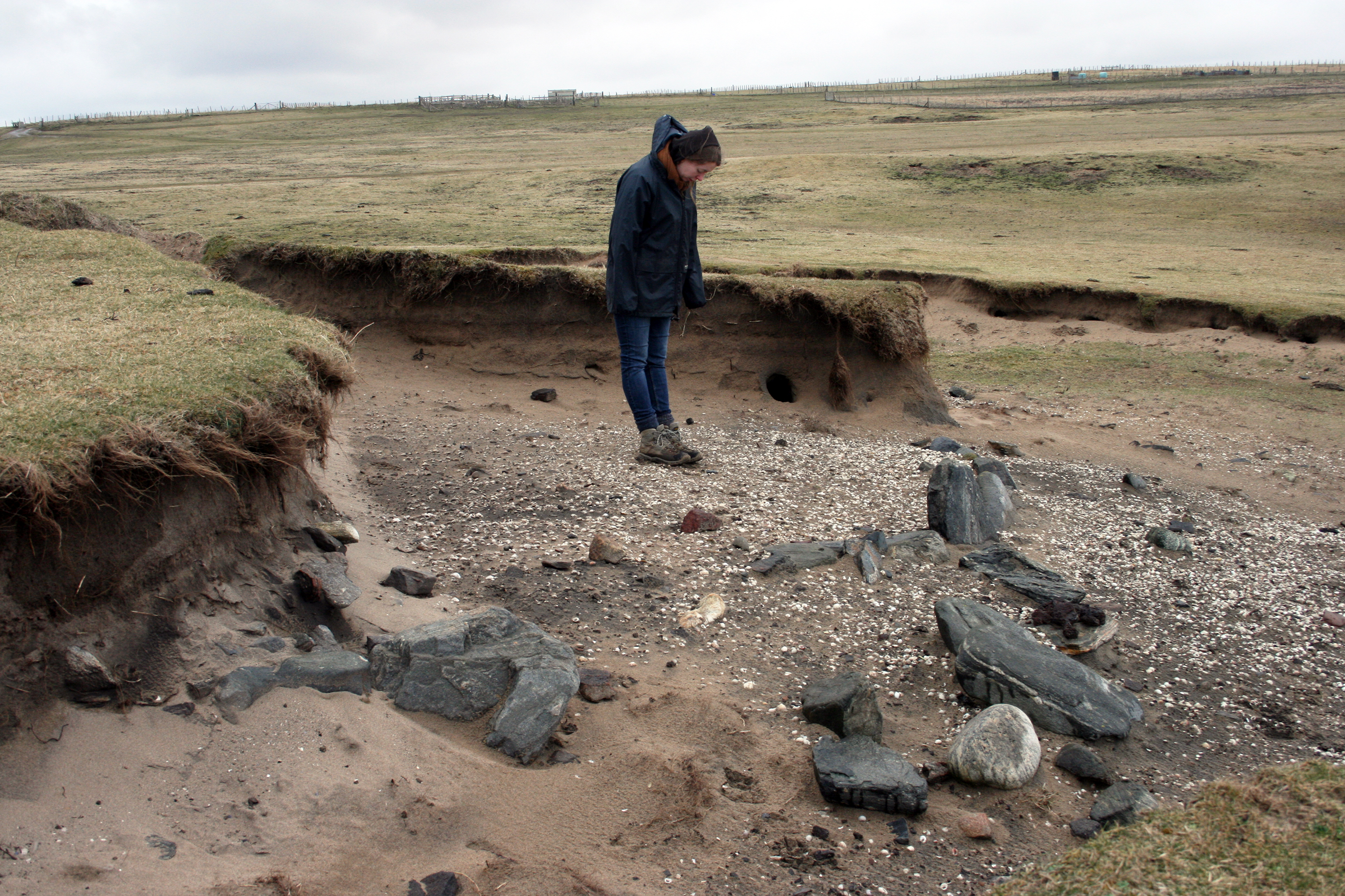
| June 2021 There has been significant erosion of the site since the previous update - due to wind, animals and humans. It is more extensive than previously thought spanning much of the southern eroding edge of a large settlement? mound adjacent to the stream. A c. 12m long stretch of walling, 3-4 courses high oriented e-w, is eroding out of the north sand dune side of the small stream. This is associated with thick layers of peat? charcoal and frequent large fish bone (cod?) as well as frequent butchered animal bone - mainly sheep. To the north and higher up the mound more of the walling previously recorded is exposed. This is associated with frequent iron working debris, hearth bases, slag etc. and frequent pottery and marine shell. The relationship between the mound of fire-cracked stone just to the west is not clear. Despite plenty of evidence of burnt fuel at the 'smithy' site, fire-cracked stone is rare and the sites may not be related. |
Location
| 150584.00 | |
| 963760.00 | |
| 27700 | |
| 58.4904480 | |
| -6.2816229 |
Submitted photographs
| Image | Date | Caption | User |
|---|---|---|---|
|
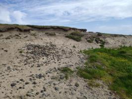
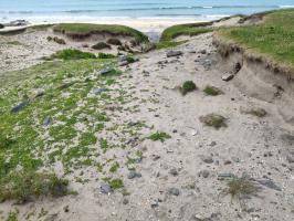
03/07/2021 | Mound of fire-cracked stone with metal working site in background. | joannahambly |
|
|||
|
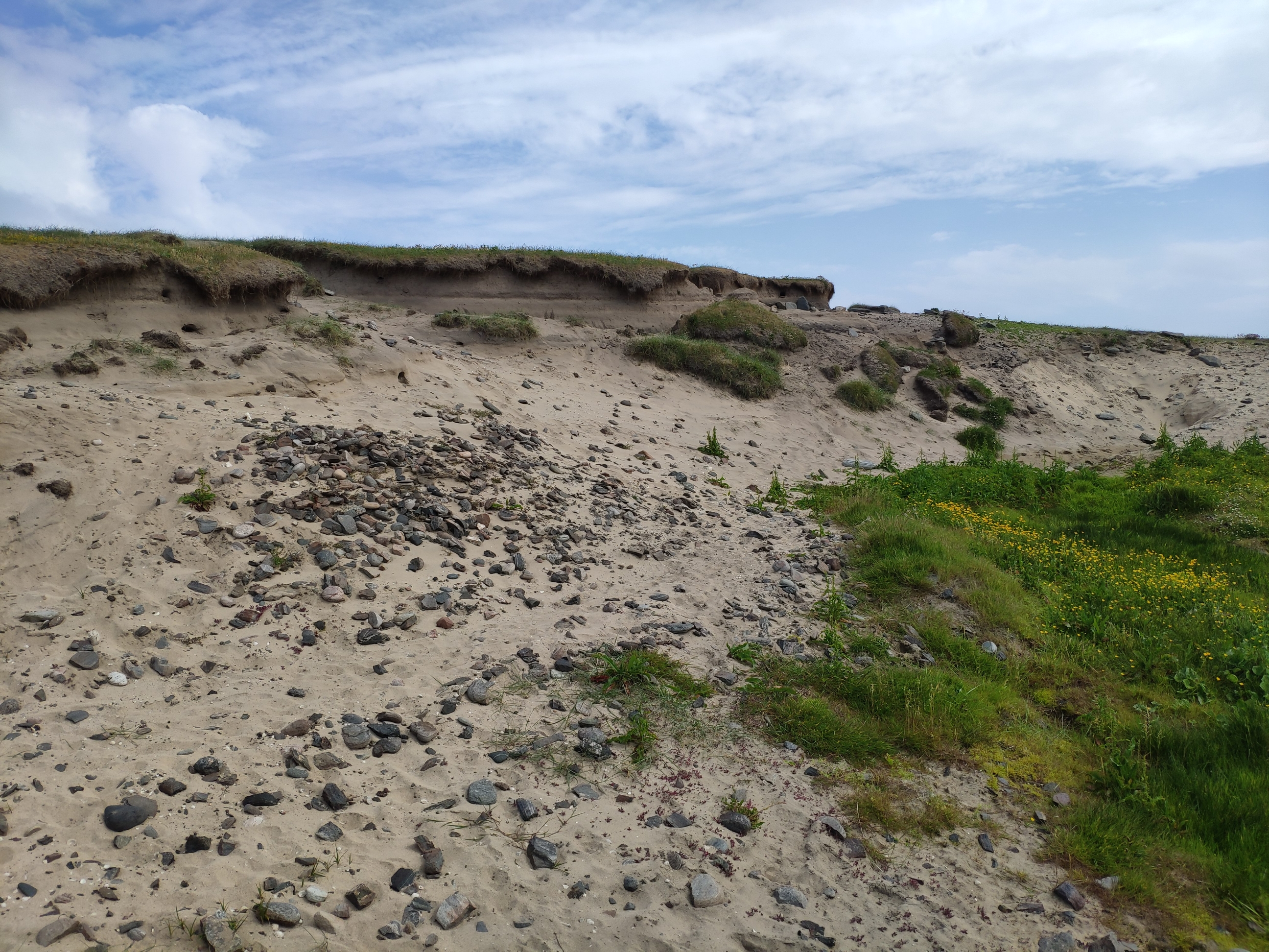
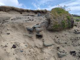
03/07/2021 | Eroding walling in section with D-shaped \'smithy\' wall above on the surface, looking north, June 2021 | joannahambly |

|
|||
|
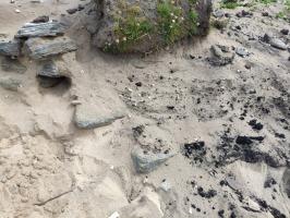
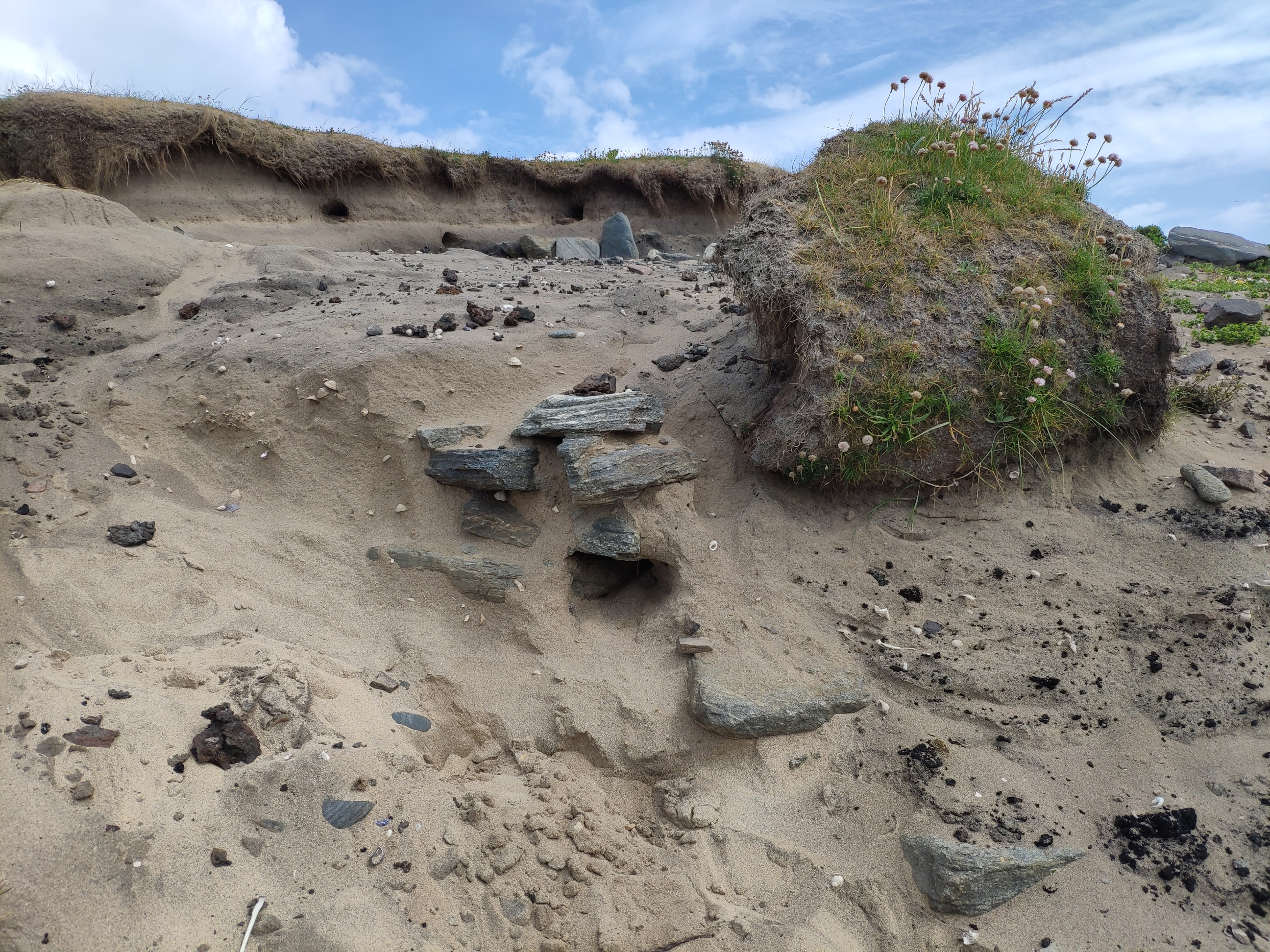
03/07/2021 | Detail of wall and what looks like peat charcoal. Visible bone is nearly all large fishbone. | joannahambly |

|
|||
|
03/07/2021 | Newly exposed Drystone walling in section. | joannahambly |
|
|||
|
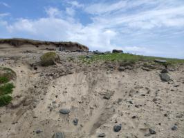
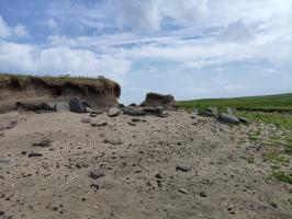
03/07/2021 | Looking northeast June 2021 | joannahambly |
|
|||
|
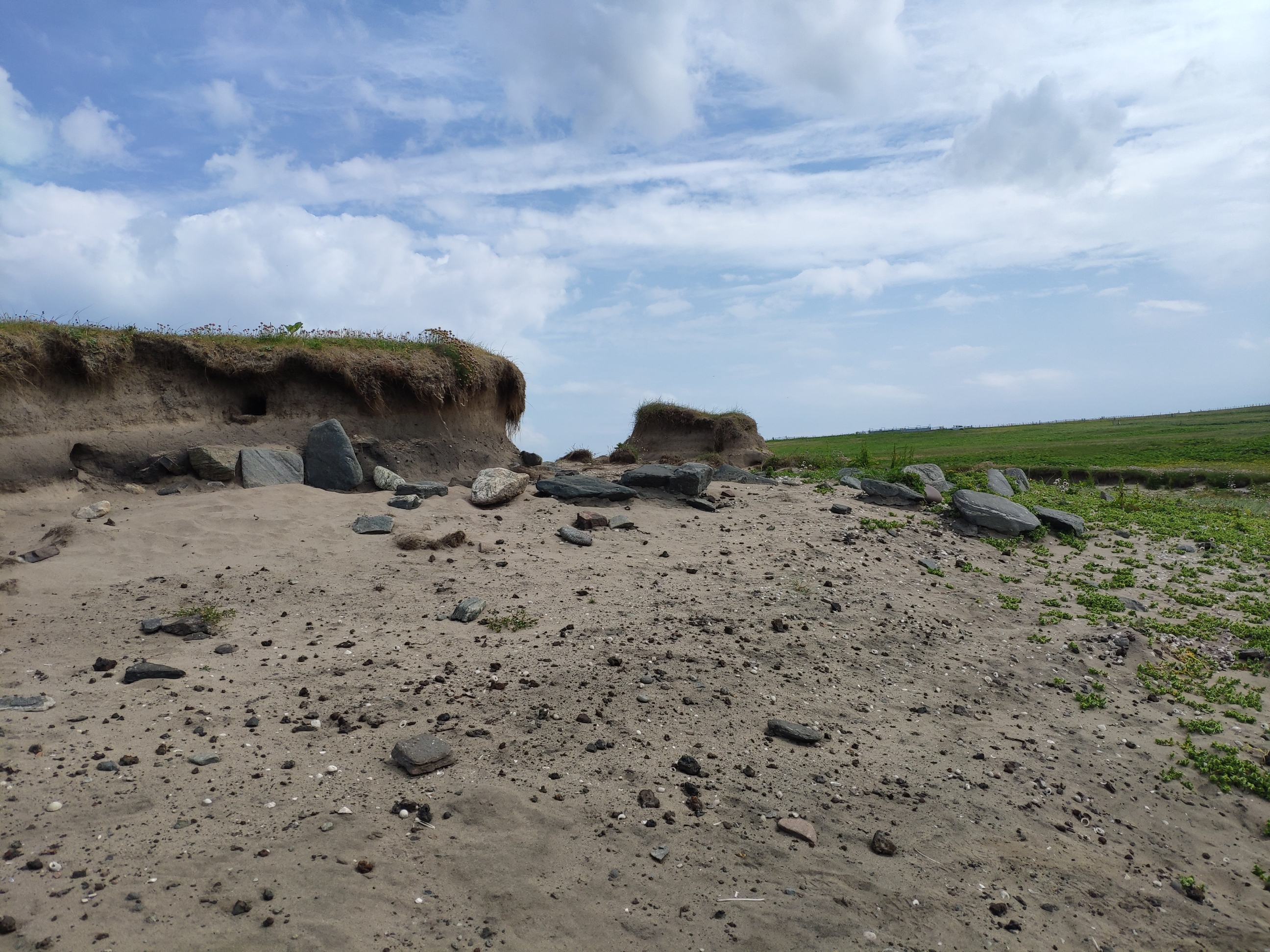
03/07/2021 | Looking west June 2021 | joannahambly |
|
|||
|
03/07/2021 | Looking north, June 2021. | joannahambly |
|
|||
|
17/03/2013 | General view across site, May 2016 | training1 |

|
|||
|
17/03/2013 | Detail of representative industrial residue from ironworking site | training1 |
|
|||
|
17/03/2013 | Site looking NE, April 2015 | jann |
|
|||

|
17/03/2013 | Closer view of top of section above metalworking site | jann |
|
|||

|
25/03/2013 | Fe obj on site | jann |
|
|||

|
25/03/2013 | Slag or furnace bases in section | jann |
|
|||

|
17/03/2013 | Site looking East, Sept 2014 | training1 |
|
|||
|
25/03/2013 | View to show relationship between the stream; mound of fire-cracked stone (New Site 12477) in the foreground; burnt layers and midden material exposed in the section and with the site just visible in the background. | training1 |
|
|||
|
25/03/2013 | Closer view of section deposits. Fire-cracked stone in the foreground. | training1 |
|
|||
|
25/03/2013 | Black layers visible in section extending eastwards from the site which is visible in the background. Looking S. | training1 |
|
|||
|
25/03/2013 | Site looking South. Note fire-cracked stone in the foreground. | training1 |
|
|||
|
25/03/2013 | The site looking South | training1 |
|
|||
|
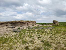
25/03/2013 | General view looking NW | training1 |

|
|||
|
25/03/2013 | General view of site looking NE | training1 |
|
|||
Submitted updates
| Update id | Date | User | ||||||||||||||||||||||||
|---|---|---|---|---|---|---|---|---|---|---|---|---|---|---|---|---|---|---|---|---|---|---|---|---|---|---|
| 3535 | 03/07/2021 | joannahambly | ||||||||||||||||||||||||
|
||||||||||||||||||||||||||
| 848 | 17/03/2013 | training1 | ||||||||||||||||||||||||
|
||||||||||||||||||||||||||