| Tidal state |
Low |
| Site located? |
Yes |
| Proximity to coast edge |
11-50m |
| Coastally eroding? |
not eroding |
| Visibility above ground |
Highly visible (substantial remains) |
| Access |
easily accessible - no restrictions |
| Local knowledge |
is well known; has local associations/history |
| Description |
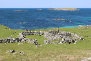
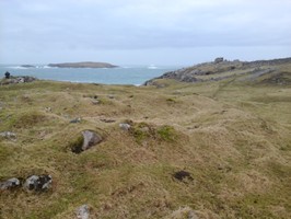
Western Isles SMR: 5712 The monument consists of the remains of a medieval settlement, reputedly a nunnery.
The site is called "Tigh nan Cailleachan Dubha" translates as "The House of the Black Women." There is no documentary evidence of an order of nuns in Mealista but local tradition persists in saying that this is the site of a nunnery. The absence of medieval documentation may indicate that this is a site of early medieval date.
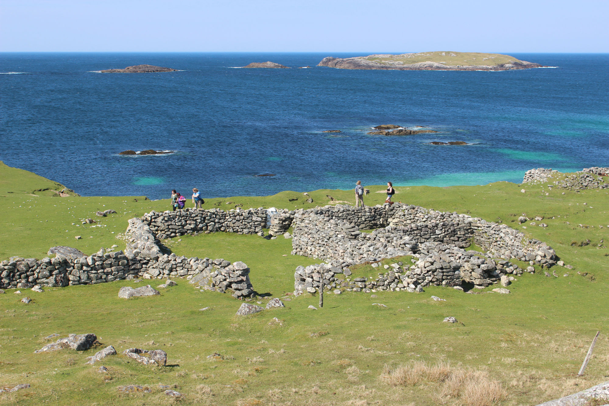
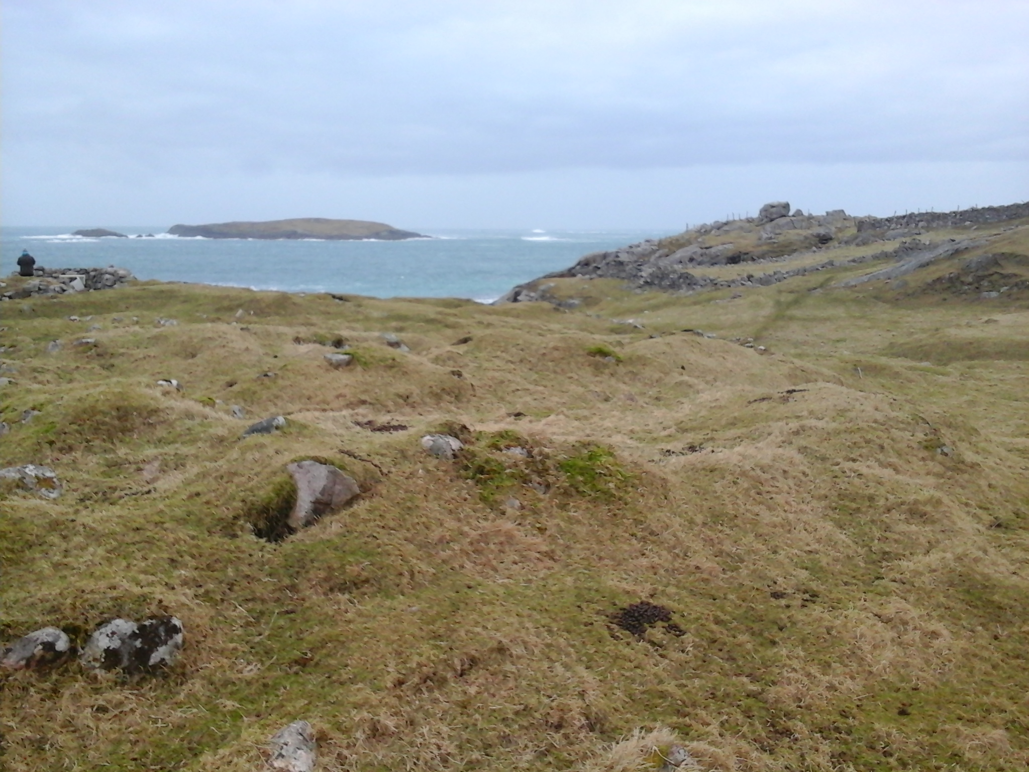
The settlement remains comprise the footings of several rectangular stone and turf buildings situated in close proximity. The buildings are generally orientated N-S. Their measurements range from 7m by 3m to 15m by 8m. Some are contiguous or L-shaped. One building close to the shore facing E has been rebuilt, its E wall cobbled together with pebbles from the shore. This structure lies within larger rectangular footings. The site covers over a hectare. The monument has probably been subject to phases of re-use. Some of the foundations have been incorporated in modern dry-stone sheep pens. To the NE of the buildings is an oval field enclosure which may be of later date.
The area to be scheduled is irregular measuring a maximum of 140m N-S by 100m E-W to include the settlement and field enclosure.
Also- SMR The alleged site of a Dominican nunnery, dismissed by Easson as a fanciful explanation of the Gaelic name, which means House of the Old Black Women. The ONB states that a number of chess-men were found here about 70 years ago i.e. c.1780, and that they were sold to a society of Antiquaries in Edinburgh. This is presumably a confusion with the find of chess-men from Uig Bay and a "cloister for black nuns". Name Book 1851; E Easson 1957
The name applies to the remains of a typical black house structure oriented N to S and measuring 11.2x4.6m internally within walls 1.3m thick. There is still strong local tradition regarding the site. Visited by OS 1969.
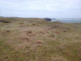
The site is almost certainly not that of Tigh nan Cailleachan Dubha, which was more probably adjacent to the cemetery and chapel complex c.100m to the north of the marked spot and which is outwith the scheduled area. The settlement is a typical medieval to post-medieval clearance village, and erosion along the edge of the machair reveals earlier, possibly late prehistoric structures, with associated non-diagnostic ceramics MML 1999.
"The monument ... comprises the remains of a medieval settlement, reputedly a nunnery. The area to be scheduled is irregular measuring a maximum of 140m N-S by 100m E-W to include the settlement and field enclosure" HS Scheduling Document 1993.
When this site is visited it is clear that despite its name and the stories associated with it, it is a very large medieval or later deserted settlements, with associated enclosures and field systems, and is very well-preserved. Parts of the building remains have been adapted to use as a sheep fank. However, the majority of the site is upstanding, and in good condition... the site is too complex to record in a walkover or plane table survey. Barrowman. A full topographic survey, linking this site with the chapel to the North.
Feb 2015: SMR 34 and 5712. This is an area of buildings now ruins covered by vegetation with two more modern buildings also ruined. There are 2 obvious flatter areas with field walls, which might have been used for cultivation. The coast edge has eroded severely after the storms, with collapsing banks and revealing a midden.
ShoreUPDATE 10/05/2016
For related features revealed in the eroding coast edge see site 1875.
As described, a township consisting of a number of buildings, with cultivationr remains in the hinterland. One blackhouse has been rebuilt as a sheep fank. |
|