Stock enclosure Tresivick (13290)
Description
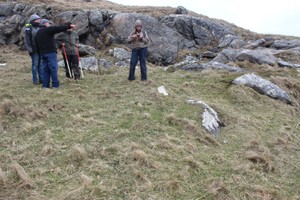
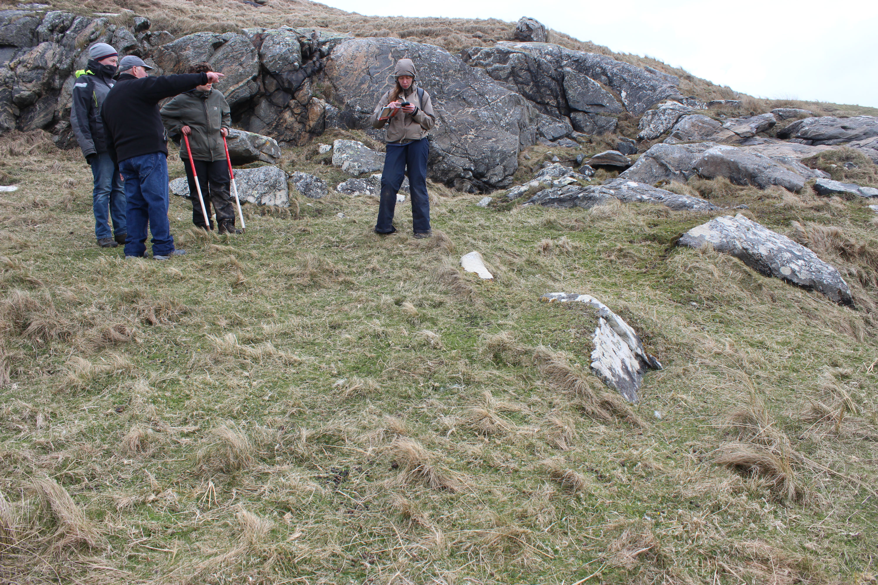
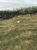
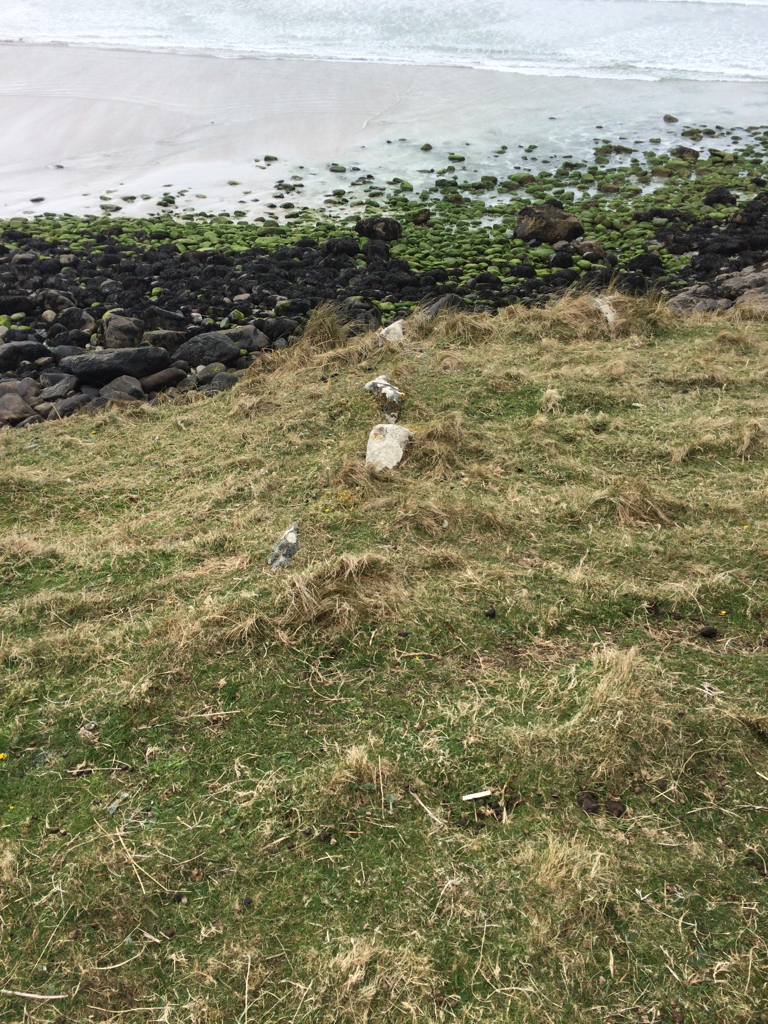
| Short length of drystone walling running NE-SW, perpendicular to the coast edge at the top of the cliffs. Intermittently visible, c.0.3m high. Probably the remains of a stock enclosure. Depicted as a boundary line on the historic mapping. |
Location
| 62892.00 | |
| 795517.00 | |
| 27700 | |
| 56.9277573 | |
| -7.5435333 |
Submitted photographs
| Image | Date | Caption | User |
|---|---|---|---|
|
05/05/2016 | View along boundary facing inland | training1 |
|
|||
|
05/05/2016 | View along boundary towards coast edge | EllieSCHARP |
|
|||
Submitted updates
| Update id | Date | User | ||||||||||||||||||
|---|---|---|---|---|---|---|---|---|---|---|---|---|---|---|---|---|---|---|---|---|
| 2628 | 05/05/2016 | training1 | ||||||||||||||||||
|
||||||||||||||||||||