The Slates (13272)
Description
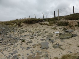
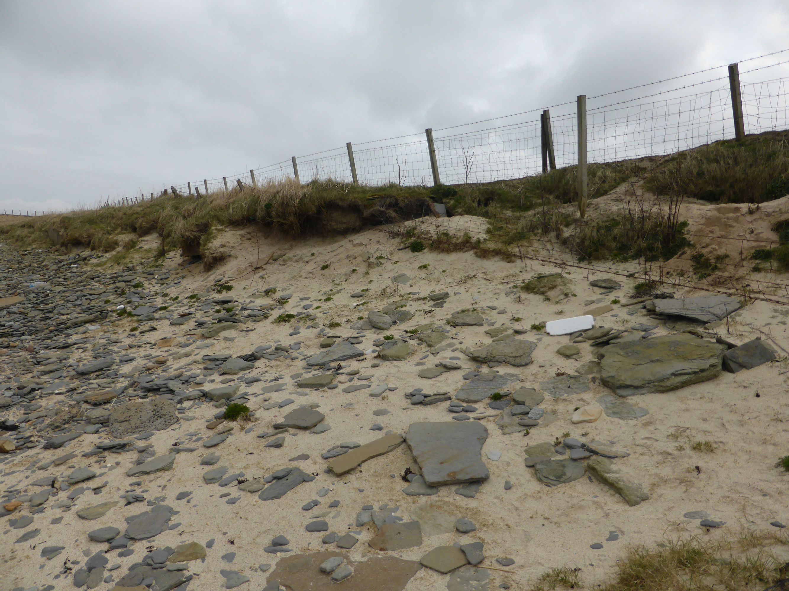
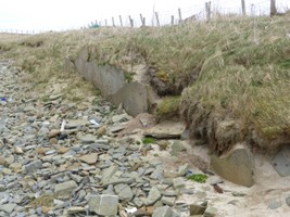
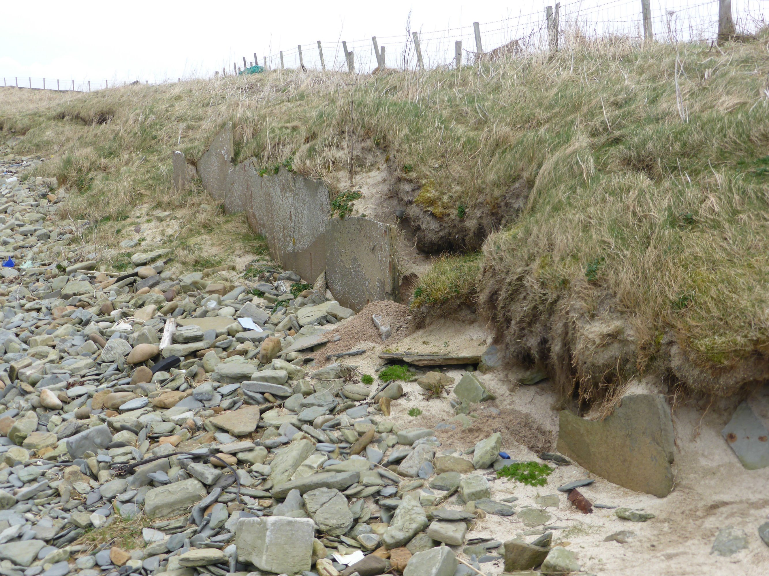
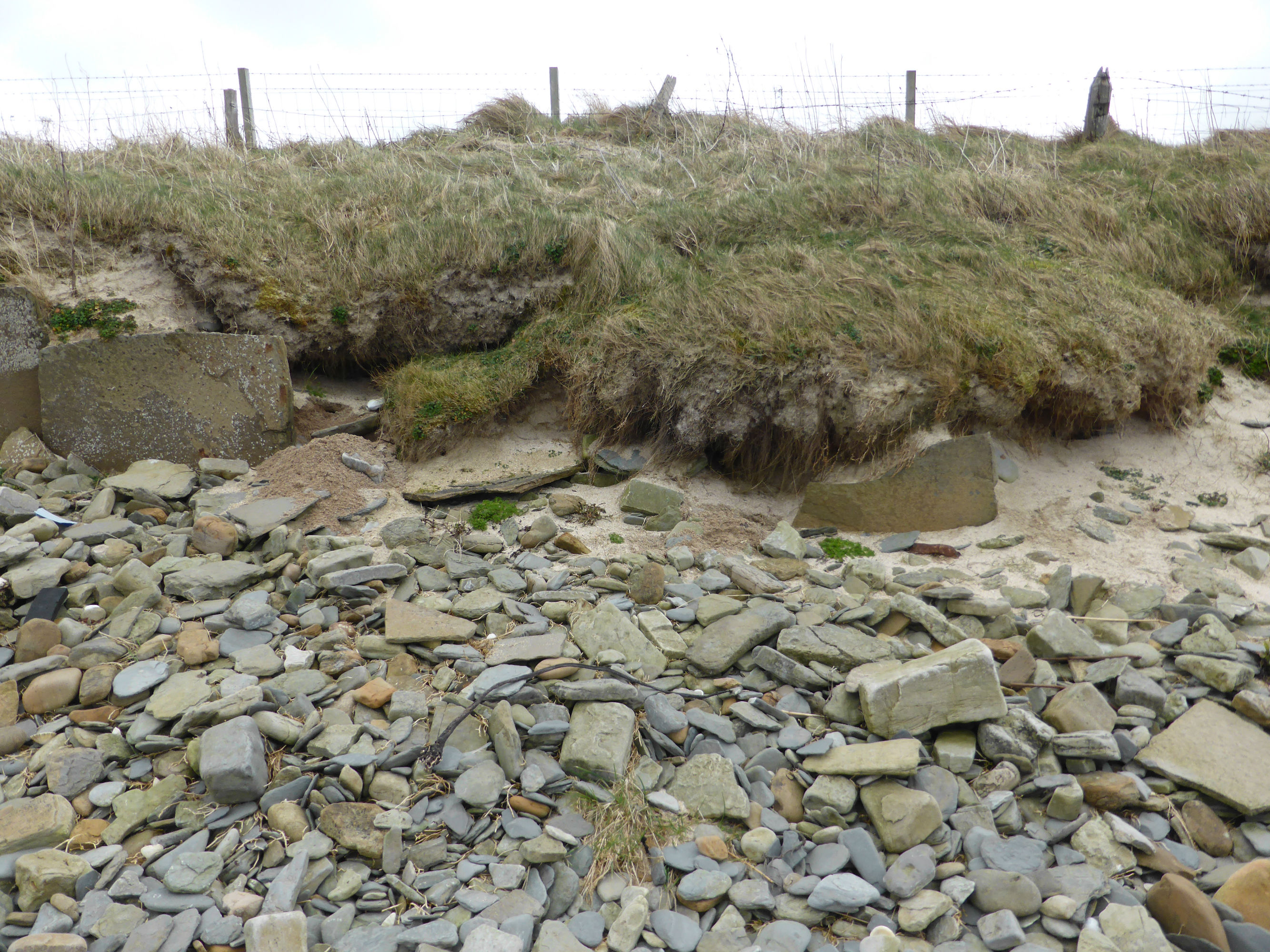
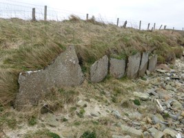
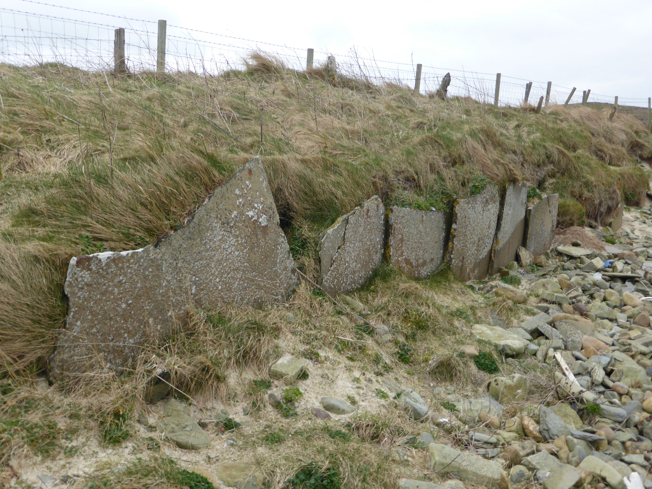
| Wall at coast edge, constructed of edge-set flagstones. Height varies from 0.5m to 1m. Broken in many places, fallen flagstones along the beach indicating original continuation of wall. Stretch 1 runs from ND 18357 69016 to ND 18366 69020. Stretch 2 runs from ND 18333 69006 to ND 18323 69005. Recorded by Mercer (1981, number 523) as a wall buried to top of orthostats. Length: 80m. Orientation: E-W. Elevation: 25' OD. |
Location
| 318348.00 | |
| 969012.00 | |
| 27700 | |
| 58.6013641 | |
| -3.4067447 |
Submitted photographs
| Image | Date | Caption | User |
|---|---|---|---|
|
20/03/2016 | Erosion in area of wall | CaithnessCZAS |
|
|||
|
20/03/2016 | Stretch of walling | CaithnessCZAS |
|
|||

|
20/03/2016 | Damaged stretch of walling | CaithnessCZAS |
|
|||
|
20/03/2016 | Stretch of walling | CaithnessCZAS |
|
|||
Submitted updates
| Update id | Date | User | ||||||||||||
|---|---|---|---|---|---|---|---|---|---|---|---|---|---|---|
| 2581 | 20/03/2016 | CaithnessCZAS | ||||||||||||
|
||||||||||||||