The Kist, Clardon Head (13240)
Description
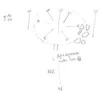
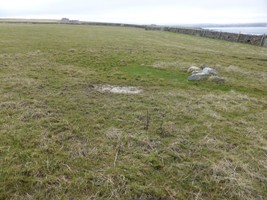
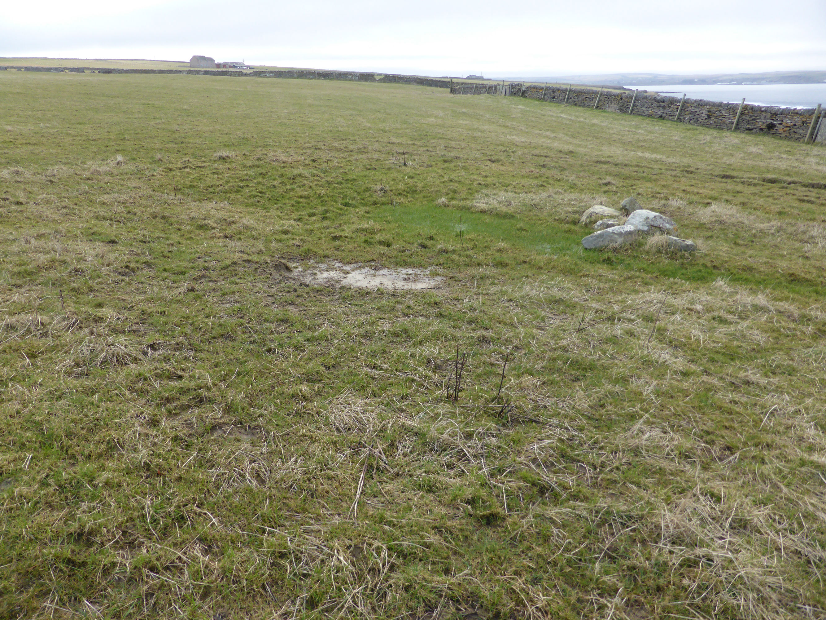
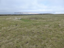
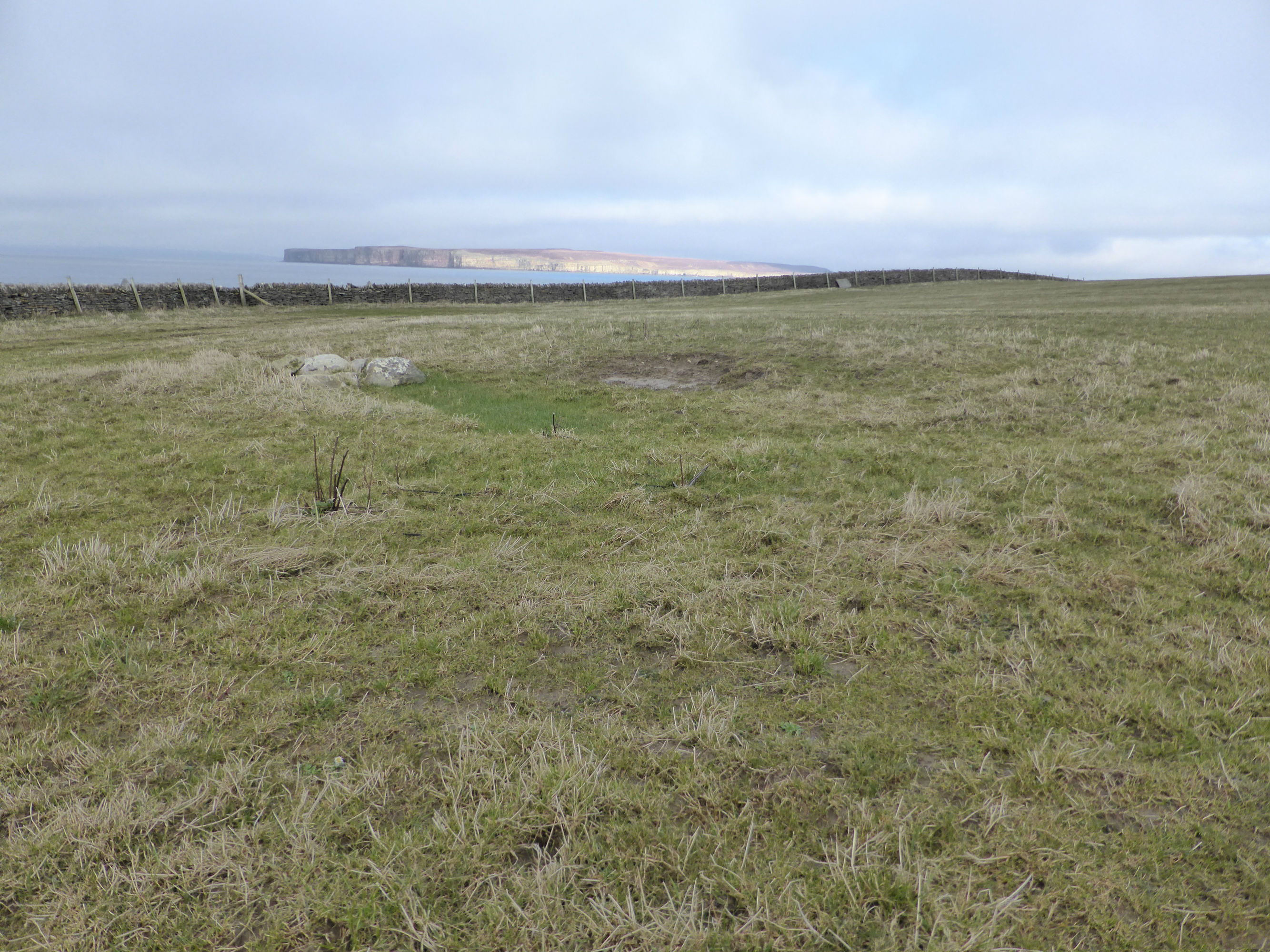
| Circular depression, 10m in diameter to outer edges, 0.45m deep, partly filled with water. Six boulder sized stones ranging from 0.4m by 0.3m to 0.8m by 0.6m arranged in two parallel lines form the west side. Lies on a gentle north-facing slope overlooking the Pentland Firth. A slight linear depression runs off to the northeast. 2nd edition OS map (1905) depicts this as a small pond. |
Location
| 315287.00 | |
| 970223.00 | |
| 27700 | |
| 58.6116486 | |
| -3.4598508 |
Submitted photographs
| Image | Date | Caption | User |
|---|---|---|---|
|
17/03/2016 | Sketch plan of pond 13240 | CaithnessCZAS |

|
|||
|
17/03/2016 | The Kist, pond | CaithnessCZAS |
|
|||
|
17/03/2016 | The Kist, pond with boulders forming west side | CaithnessCZAS |
|
|||
Submitted updates
| Update id | Date | User | ||||||||||||||
|---|---|---|---|---|---|---|---|---|---|---|---|---|---|---|---|---|
| 2572 | 17/03/2016 | CaithnessCZAS | ||||||||||||||
|
||||||||||||||||