Clardon Head (13236)
Description
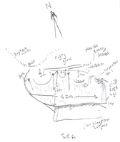
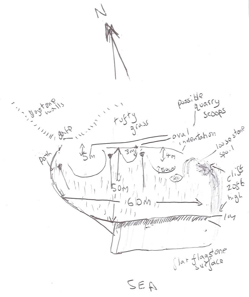
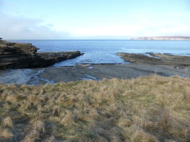
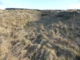
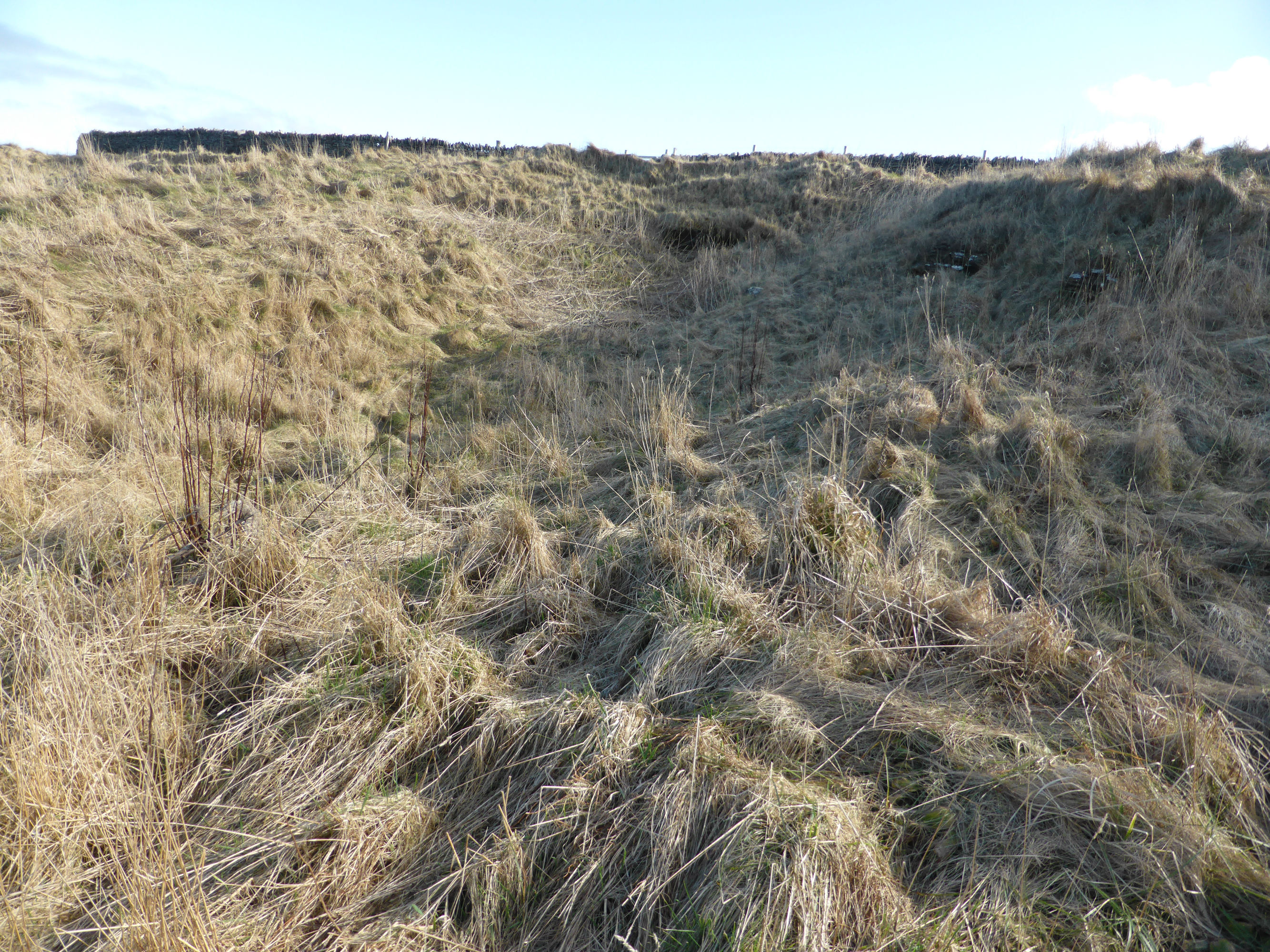
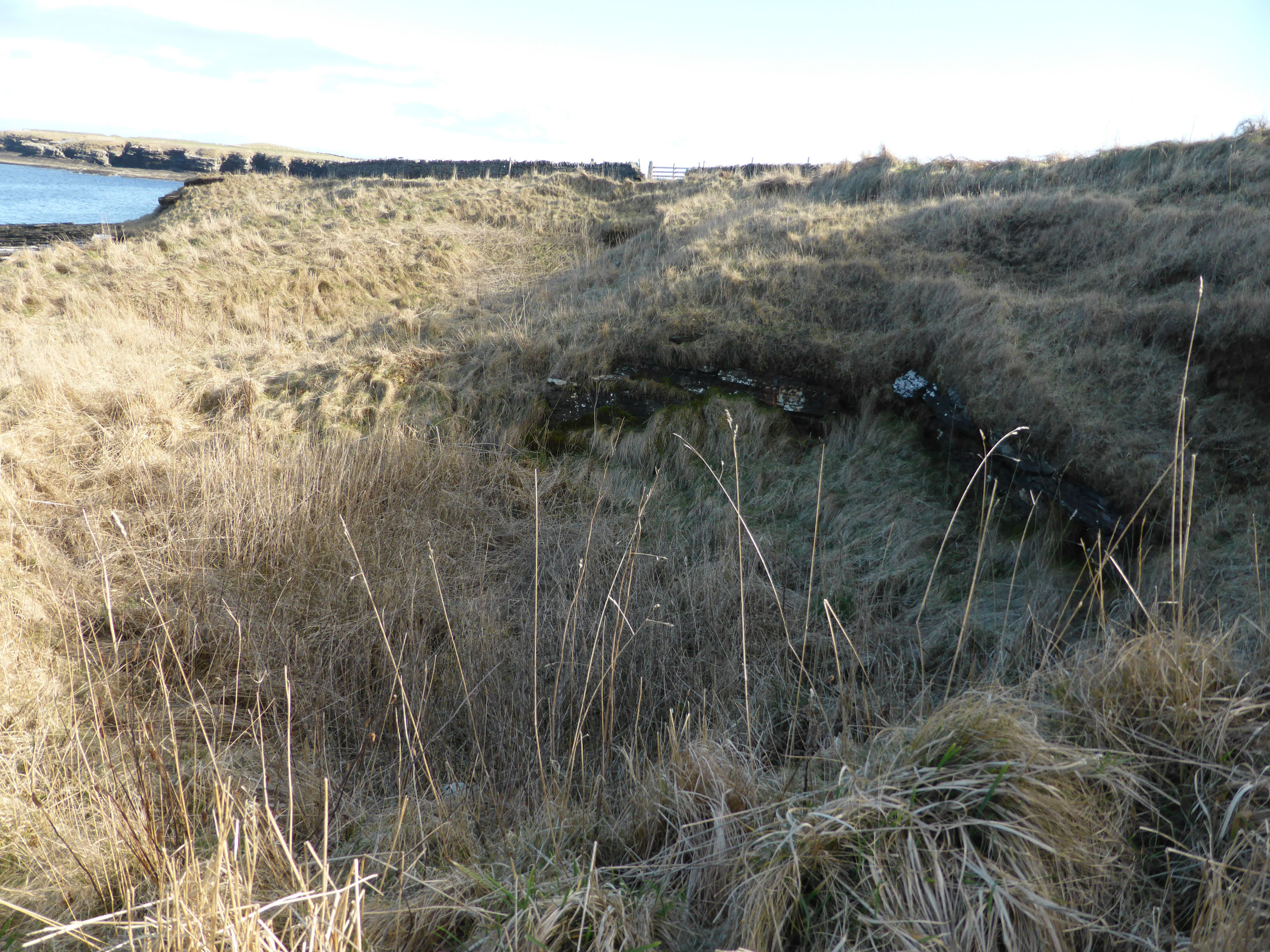
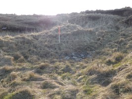
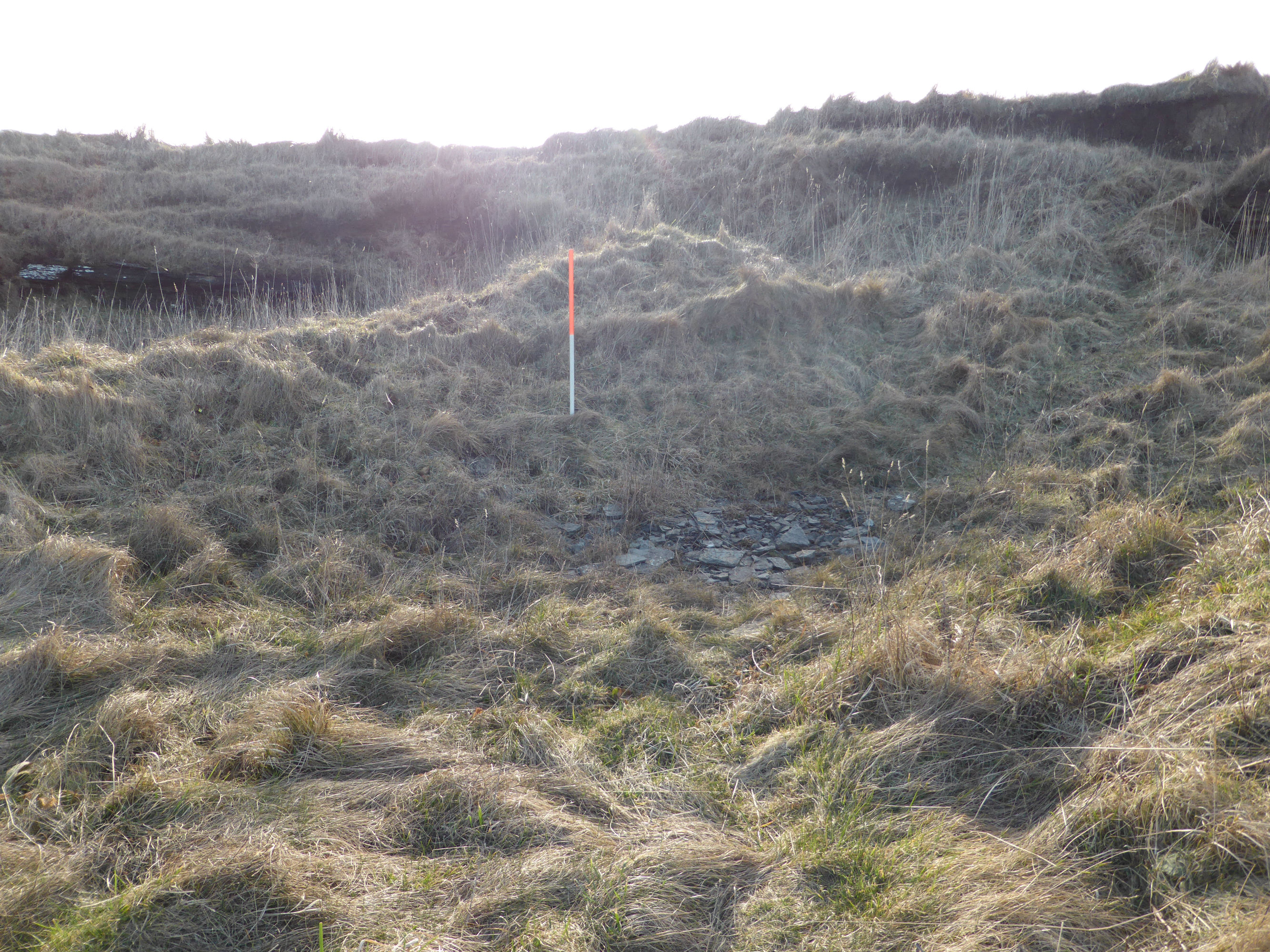
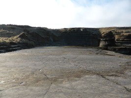
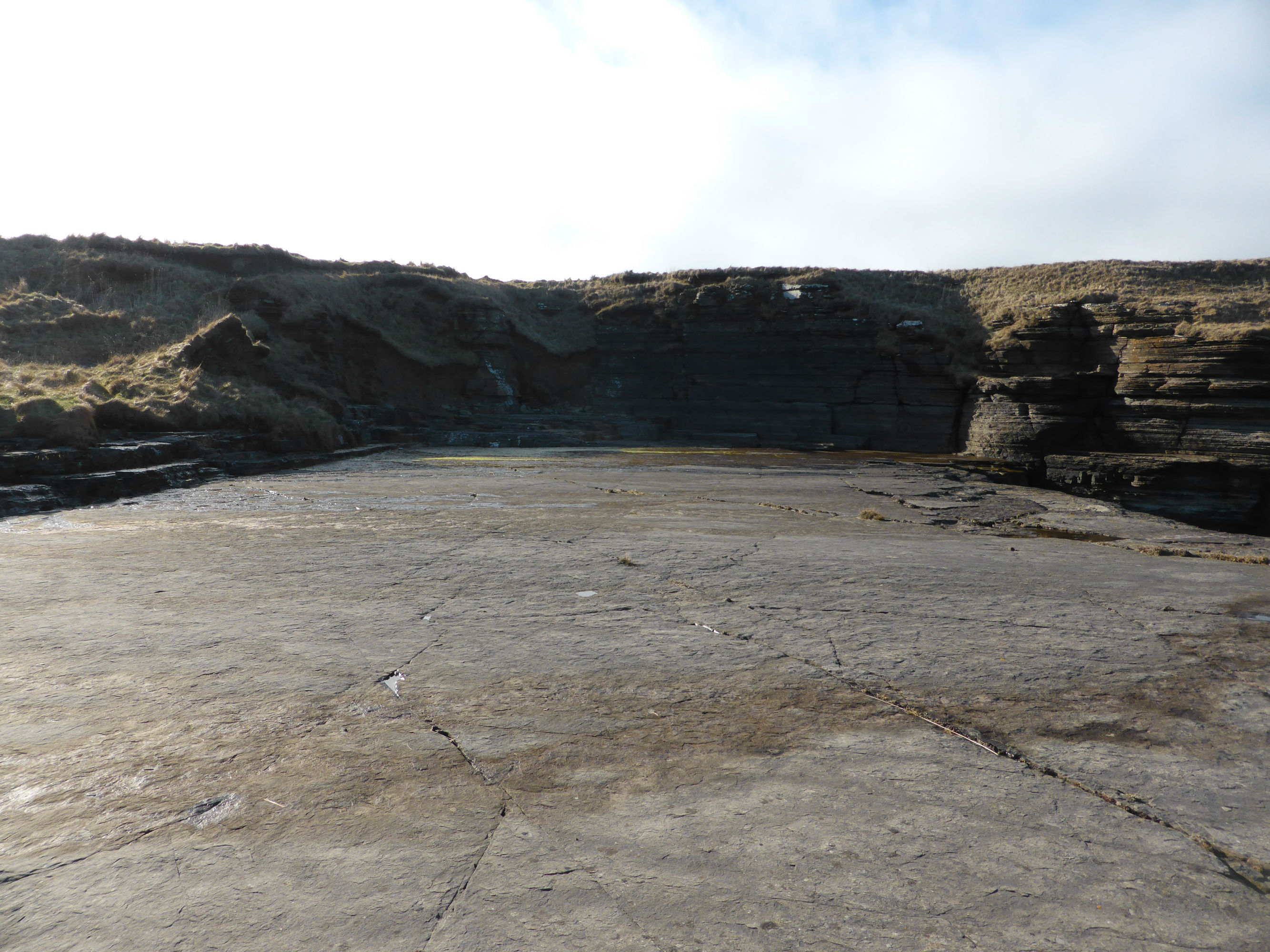
| Quarry remains; three scoops immediately behind coastline, with flat, exposed shelf of flagstone bedrock in front on coast edge. Track leads from fields above to lower working area and sea. Scoops are 3-5m in depth, working from west to east are 5m, 15m and 20m in width. Small area of spoil visible. Bedrock face at coast edge shows possible signs of working. Possible source of stone for local use. Depicted on 1st edition OS map (1872), depicted and labelled 'Old Quarry' on 2nd edition 1905 map. |
Location
| 315635.00 | |
| 970099.00 | |
| 27700 | |
| 58.6106033 | |
| -3.4538169 |
Submitted photographs
| Image | Date | Caption | User |
|---|---|---|---|
|
17/03/2016 | Sketch plan of quarry 13236 | CaithnessCZAS |
|
|||
|
17/03/2016 | General view towards the coast edge | CaithnessCZAS |

|
|||
|
17/03/2016 | Largest quarry scoop with access track on left | CaithnessCZAS |
|
|||

|
17/03/2016 | General view across quarry scoops | CaithnessCZAS |
|
|||
|
17/03/2016 | Small quarry scoop with patch of spoil | CaithnessCZAS |
|
|||
|
17/03/2016 | Bedrock platform at coast edge | CaithnessCZAS |
|
|||
Submitted updates
| Update id | Date | User | ||||||||||||||
|---|---|---|---|---|---|---|---|---|---|---|---|---|---|---|---|---|
| 2511 | 17/03/2016 | CaithnessCZAS | ||||||||||||||
|
||||||||||||||||