Prestwick-Ayr Municipal boundary (13005)
Description
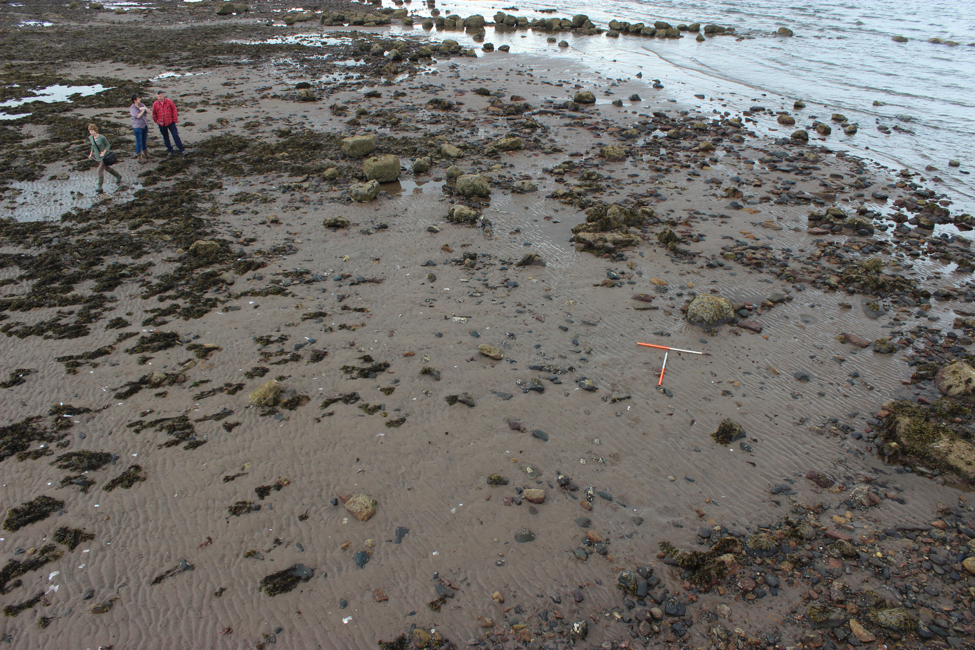
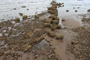
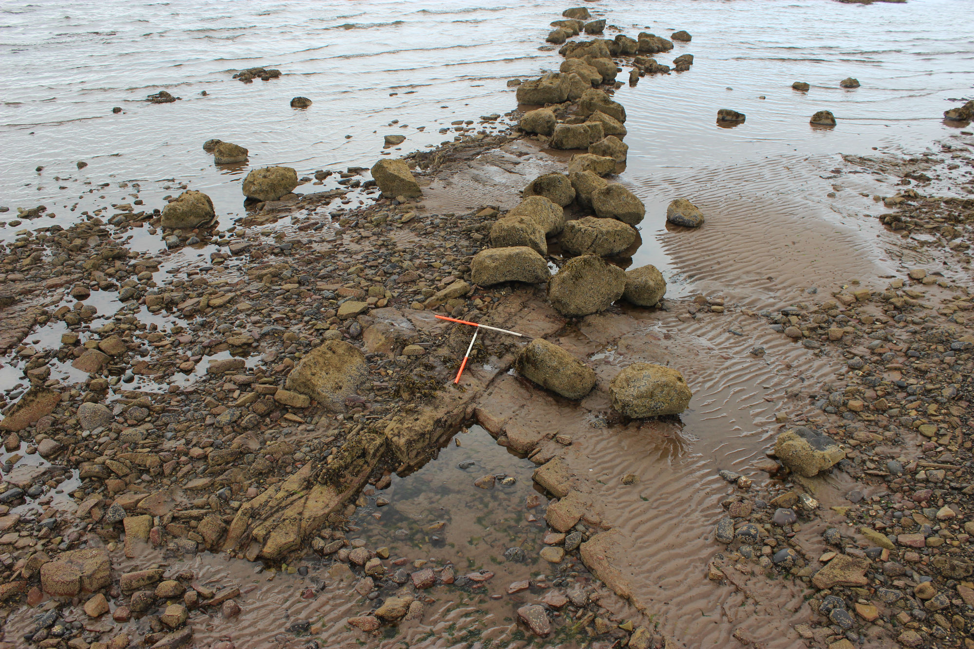
| An alignment of massive barnacle covered boulders oriented ENE-WSW marks the municipal boundary between Prestwick and Ayr. The boundary can be traced for over 50m across the seaward side of the intertidal rock platform. |
Location
| 233937.00 | |
| 624637.00 | |
| 27700 | |
| 55.4872437 | |
| -4.6297593 |
Submitted photographs
| Image | Date | Caption | User |
|---|---|---|---|

|
06/10/2015 | Looking SE. Boundary just visible across the top of the picture in the background | training1 |
|
|||
|
06/10/2015 | Looking ENE | training1 |
|
|||
Submitted updates
| Update id | Date | User | ||||||||||||||
|---|---|---|---|---|---|---|---|---|---|---|---|---|---|---|---|---|
| 2240 | 06/10/2015 | training1 | ||||||||||||||
|
||||||||||||||||