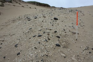
Extensive shell midden, stone and fire-cracked-stone spread along base of NW-SE oriented major deflation hollow.
August 2019 - Sand dune blowout parallel and adjacent to 12950 stretching c.105m inland from the shore in the southeast and is c.25m wide. An eroded crouched inhumation was excavated from the southwest edge of the blowout in 2017 and now published and dated to the Middle Iron Age. In August 2019 a small, probably rectangular, structure measuring 2.30m by 1.50m externally was noted. The structure was surrounded by scatter of stone, including utilised shell, bone and a number of handmade pottery sherds.
Location
129075.00
673028.00
27700
55.8740005
-6.3328862
Submitted photographs
Image
Date
Caption
User
17/12/2019
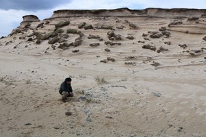
April 2019: Remains of a small sub-rectangular structure
Darko
17/12/2019
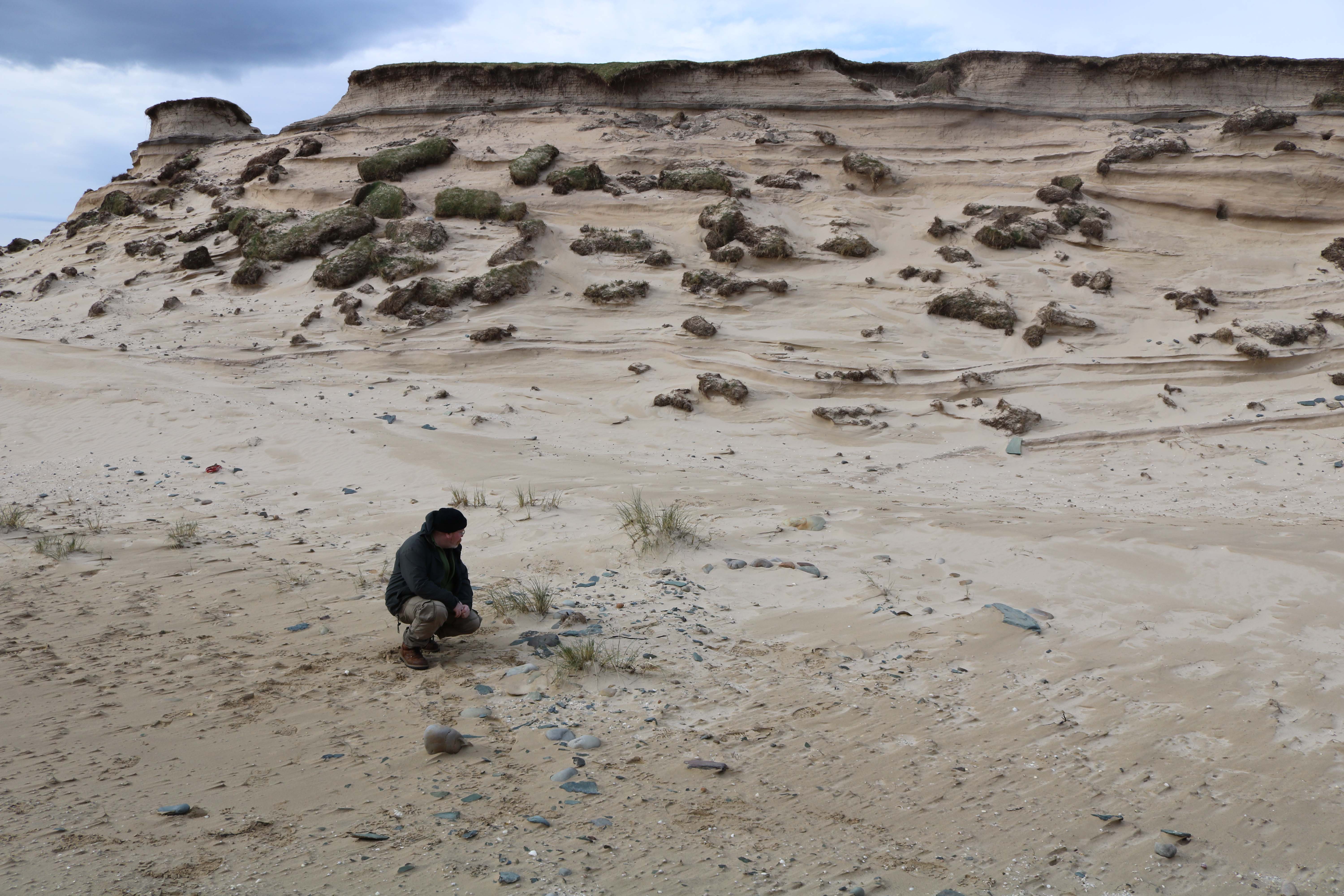
April 2019: View of the upper part of the blowout with the remains of a possible structure in the foreground
Darko
24/06/2015
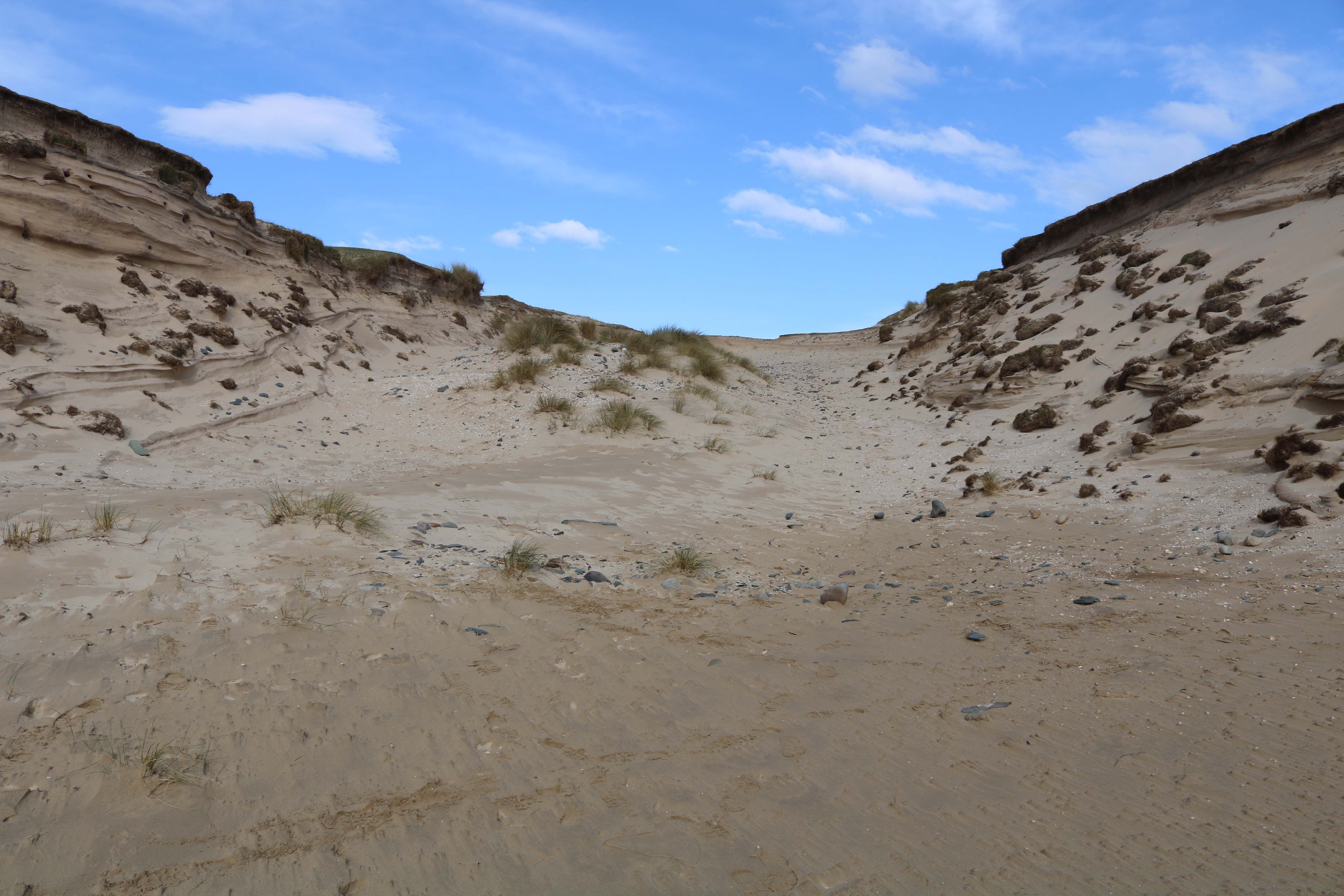
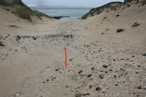
General view looking landwards, NW
training1
24/06/2015
General view looking seawards, SE
training1
Submitted updates
Update id
Date
User
3300
13/08/2019
Darko
Tidal state
Low
Site located?
Yes
Proximity to coast edge
11-50m
Coastally eroding?
active wind erosion (in dunes only)
Threats
stock erosion; animal burrows; visitor erosion
Visibility above ground
Limited visibility (partial remains)
Visibility in section
Not visible
Access
easily accessible - no restrictions
Local knowledge
is well visited
Description
Extensive shell midden, stone and fire-cracked-stone spread along base of NW-SE oriented major deflation hollow.
August 2019 - Sand dune blowout parallel and adjacent to 12950 stretching c.105m inland from the shore in the southeast and is c.25m wide. An eroded crouched inhumation was excavated from the southwest edge of the blowout in 2017 and now published and dated to the Middle Iron Age. In August 2019 a small, probably rectangular, structure measuring 2.30m by 1.50m externally was noted. The structure was surrounded by scatter of stone, including utilised shell, bone and a number of handmade pottery sherds.
Further monitoring and potentially rescue excavation