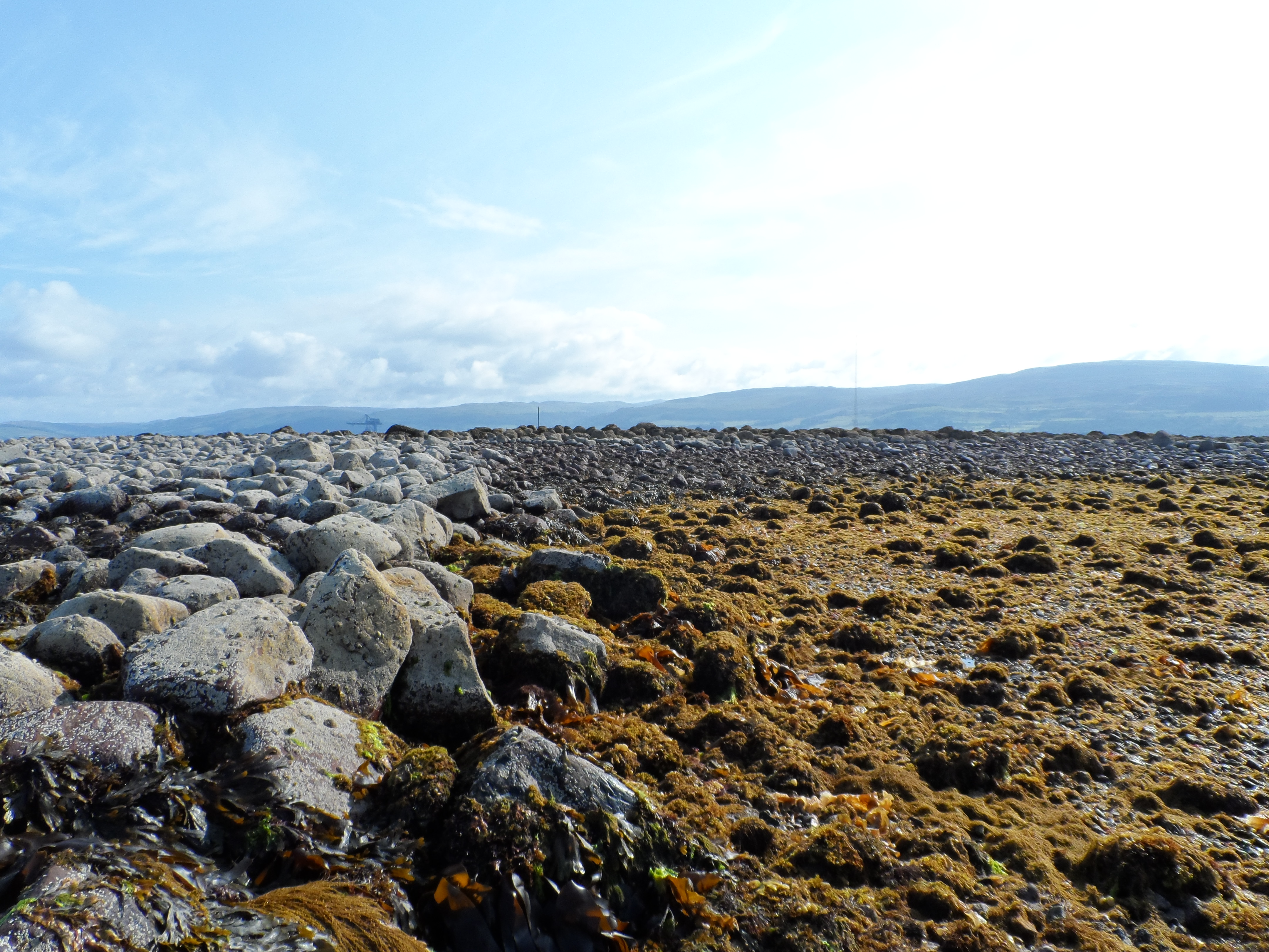
The foundation courses of a large stone-built harbour are clearly visible at the western edge of Brigurd point. Between walls enclosing an area of 61m by 41m is a sloping area with a base of small pebbles. The area is 2-3m below the residual height of the surrounding structure.
Discussion of the site in a local context is given in the COALIE project DSR (ref.1). No conclusion as to age or specific function is established.
Ref.1 Coastal Archeological
Landscapes : Intertidal &
Estuarine (COALIE)-
Data Structure Report 2014
Ref.2 Discovery & Excavation
Scotland
1966 F.Newall
1972 F.Newall & W.Lonie
Location
217730.00
652338.00
27700
55.7300529
-4.9042382
Submitted photographs
Image
Date
Caption
User
18/04/2015
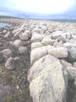
Brigurd Point, Hunsterston Sands, Harbour, alignment of facing stones along harbour 'back-wall'
Scotts
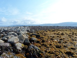
18/04/2015
Brigurd Point, Hunsterston Sands, Harbour, view to 'back-wall' of harbour from 'west' arm
Scotts
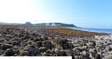
18/04/2015
Brigurd Point, Hunsterston Sands, Harbour, composite image across harbour
Scotts
Submitted updates
Update id
Date
User
1993
18/04/2015
Scotts
Tidal state
Low
Site located?
Yes
Proximity to coast edge
Intertidal
Coastally eroding?
not eroding
Threats
development; structural damage/decay
Visibility above ground
Limited visibility (partial remains)
Visibility in section
Clearly visible in section
Access
accessible - difficult terrain; accessible on foot (no footpath)
Local knowledge
has local associations/history
Description
The foundation courses of a large stone-built harbour are clearly visible at the western edge of Brigurd point. Between walls enclosing an area of 61m by 41m is a sloping area with a base of small pebbles. The area is 2-3m below the residual height of the surrounding structure.
Discussion of the site in a local context is given in the COALIE project DSR (ref.1). No conclusion as to age or specific function is established.
Ref.1 Coastal Archeological Landscapes : Intertidal & Estuarine (COALIE)- Data Structure Report 2014 Ref.2 Discovery & Excavation Scotland 1966 F.Newall 1972 F.Newall & W.Lonie
Comments
1. Visited on several occassions since 2005.
Isolated, localised, degradation only (boulder fall).
2. Placename : Potential origins :
Brigurd - ON "Bryggja" - landing stage
"-urda" - stone covered
OE "briggeden" - to have made (past tense) a causeway with stones