Crail West Ness WW2 Indicator loops (12662)
Description
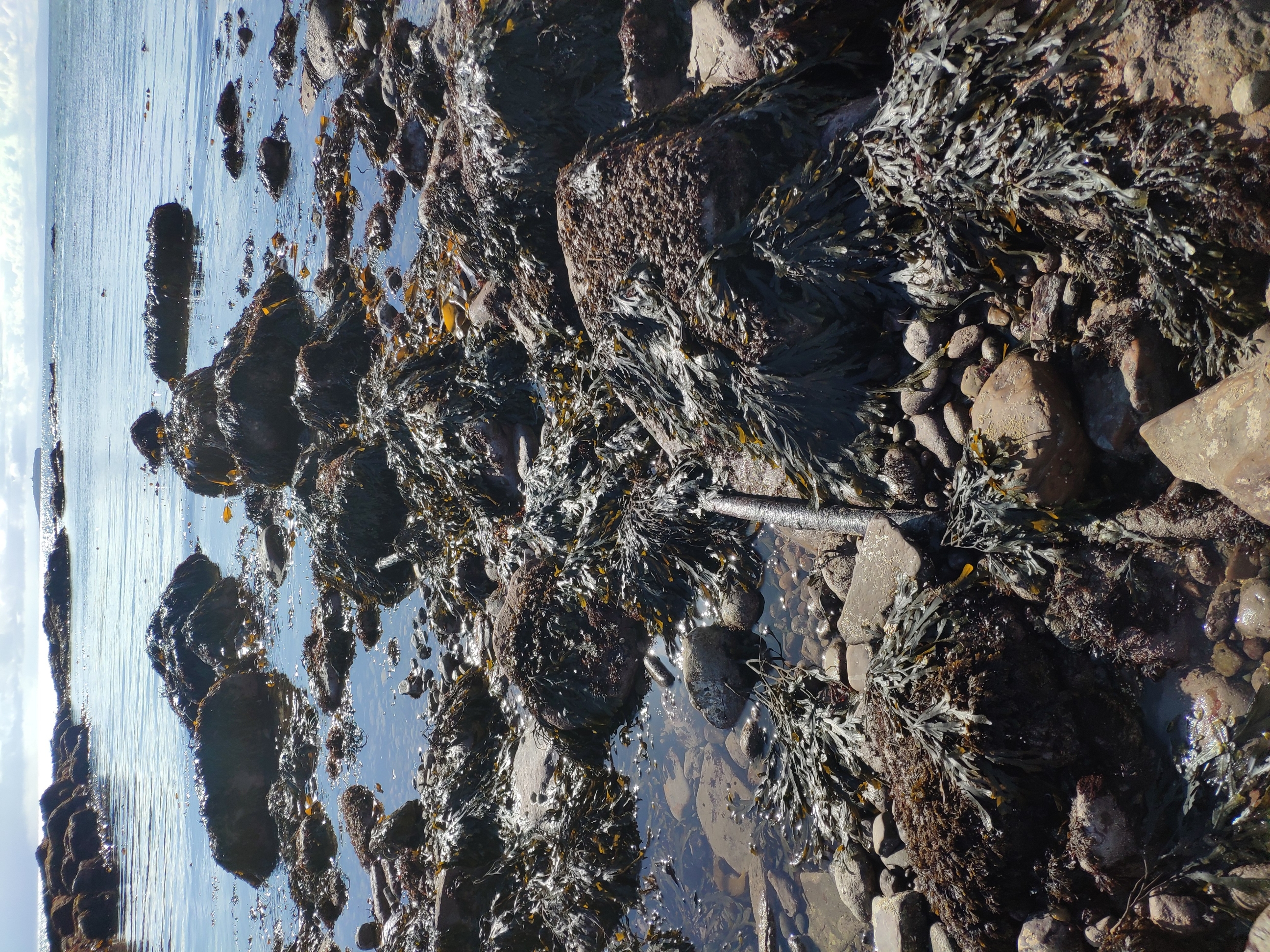
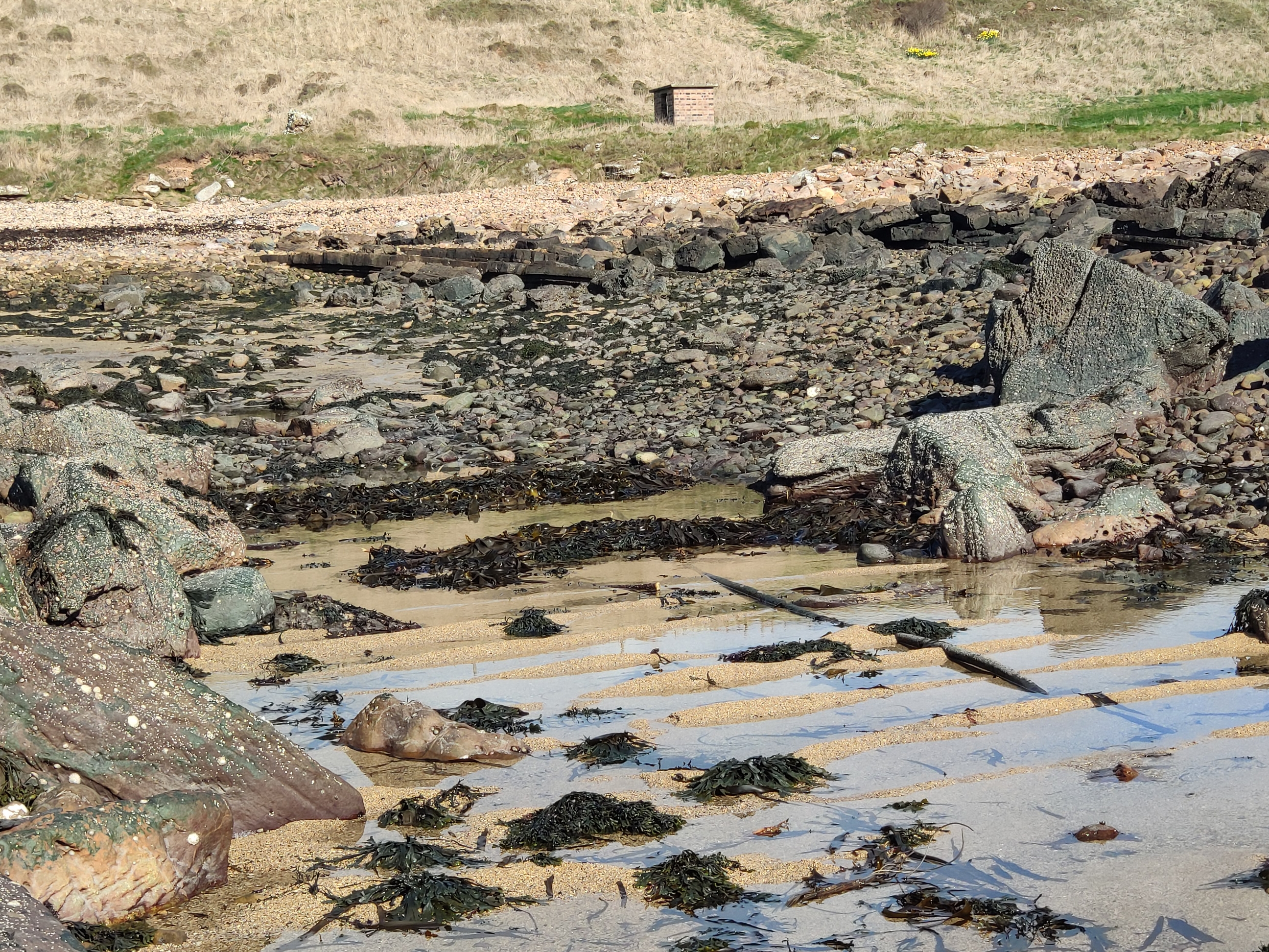
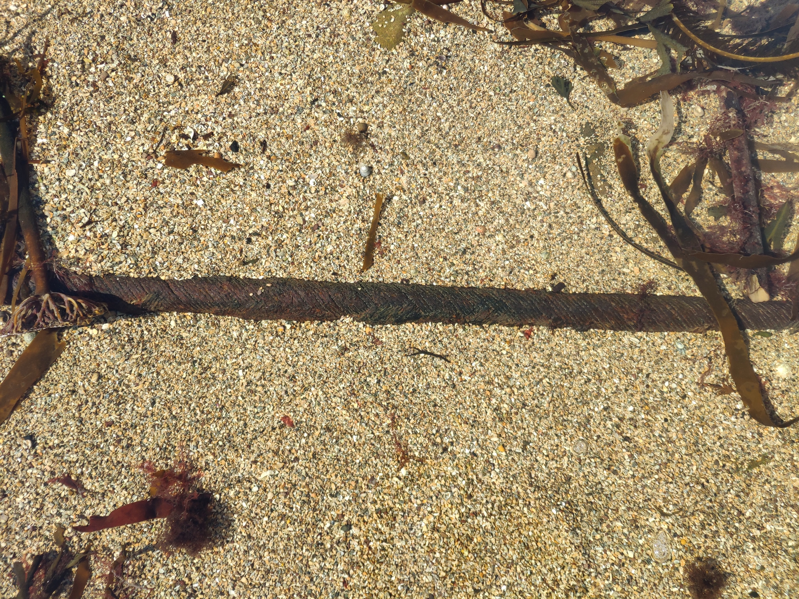
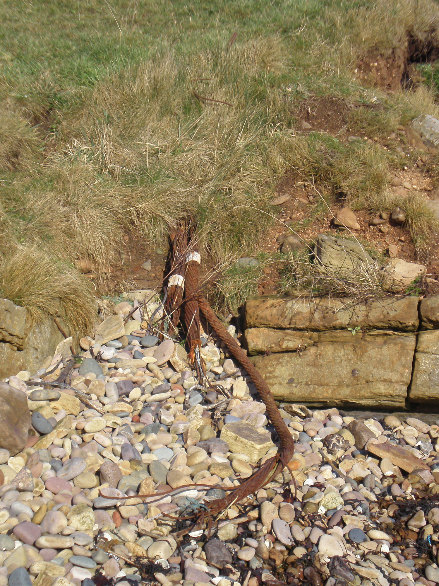
| Visible remains of metal and fabric cables within a cleared way in the intertidal zone. The cables are WW2 anti-submarine indicator loops which were laid on the seabed between Crail and the Isle of May to detect enemy shipping entering the outer Forth during WW2. The small brick building that survives on the coast edge housed the loop connections. See http://indicatorloops.com/mayisland.htm for more information. |
Location
| 361063.00 | |
| 706943.00 | |
| 27700 | |
| 56.2533913 | |
| -2.6300077 |
Submitted photographs
| Image | Date | Caption | User |
|---|---|---|---|
|
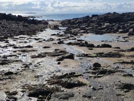
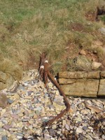
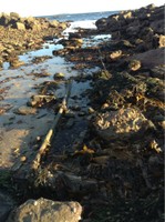
02/04/2022 | Cleared way for cables | joannahambly |
|
|||
|
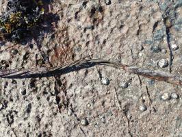
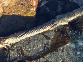
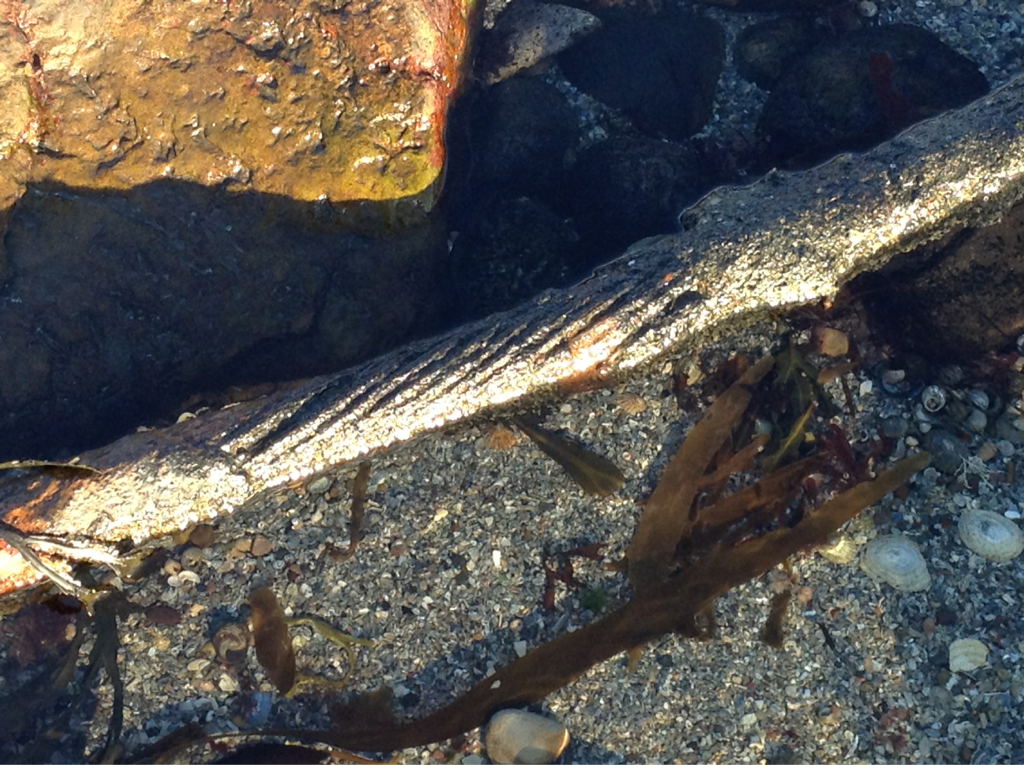
02/04/2022 | Showing detail of cables. Copper wires sheathed in rubber encased in steel? sleeve | joannahambly |

|
|||
|
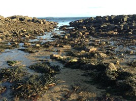
02/04/2022 | Seaward end at very low tide. Cable in foreground passes through channel created through boulders. | joannahambly |
|
|||

|
02/04/2022 | Cable in foreground, connection hut in background | joannahambly |
|
|||
|
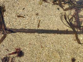
02/04/2022 | Detail, submerged cable | joannahambly |
|
|||
|
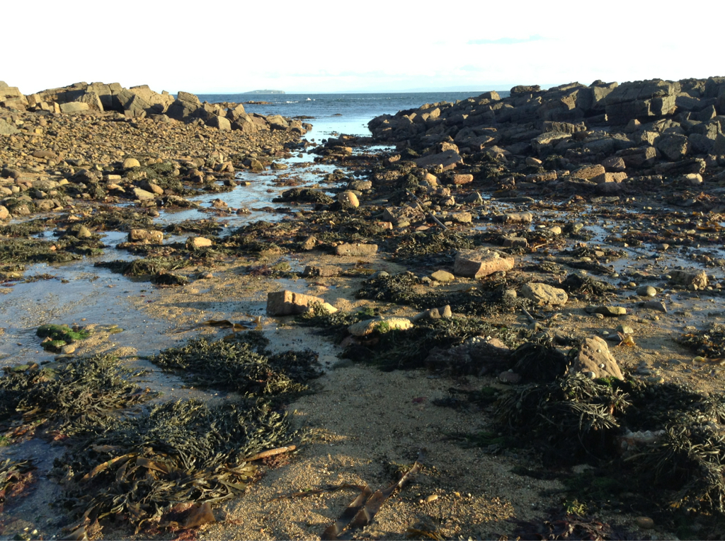
16/09/2013 | Indicator loops at landfall, looking NW | training1 |
|
|||
|
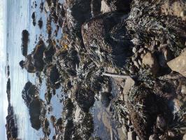
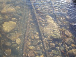
16/09/2013 | Submerged indicator loops | training1 |

|
|||
![Looking NW with Coastguard hut [1483] in the background](https://scapetrust.org/wp-content/uploads/shoreimages//2017/01/13/Site-12662_P2020175_400x200.JPG)
|
16/09/2013 | Looking NW with Coastguard hut [1483] in the background | training1 |
![Looking NW with Coastguard hut [1483] in the background](https://scapetrust.org/wp-content/uploads/shoreimages//2017/01/13/Site-12662_P2020175.JPG)
|
|||
|
16/09/2013 | Detail of cable | joannahambly |
|
|||
|
16/09/2013 | Closer view of cables | joannahambly |

|
|||
|
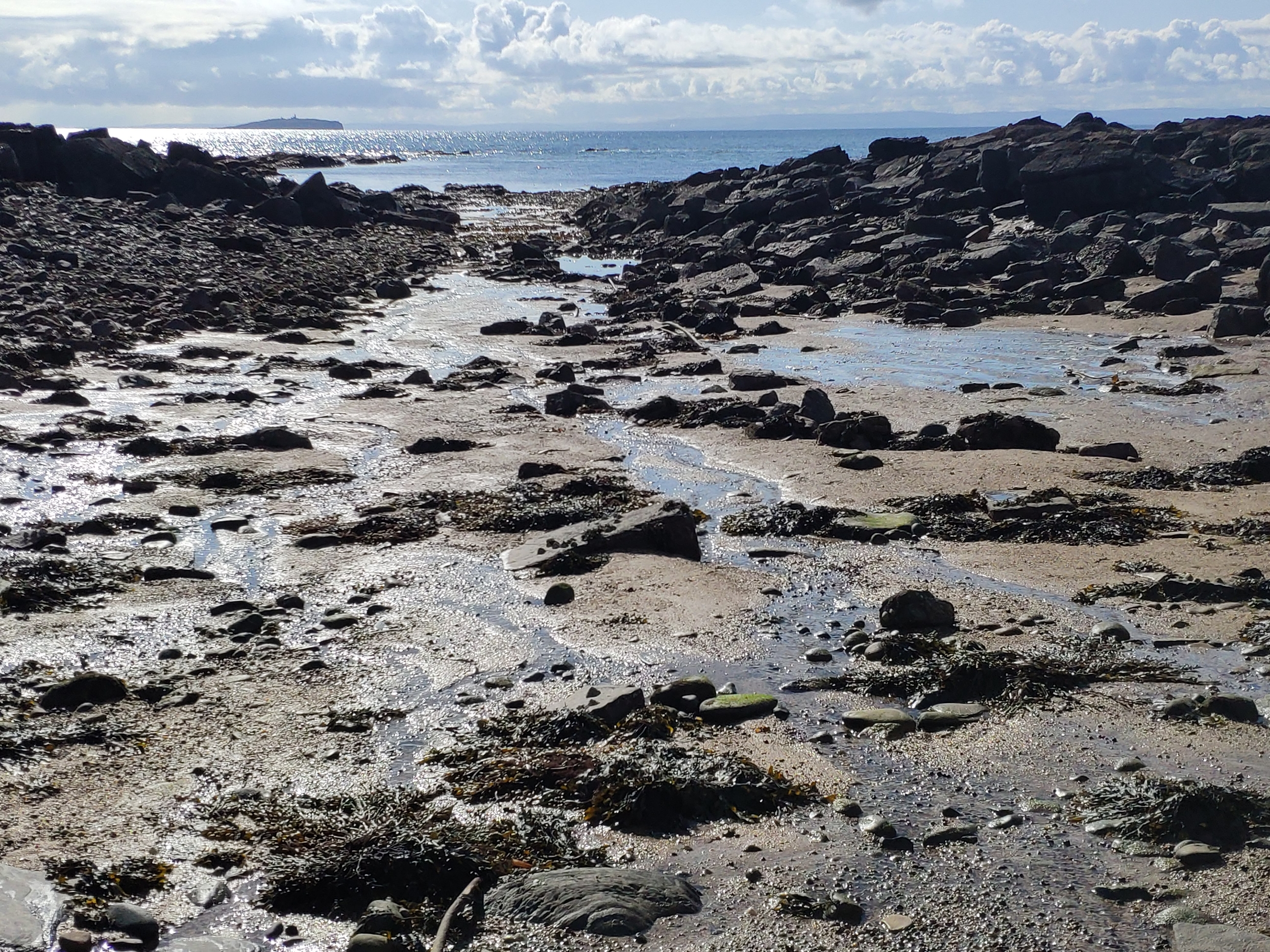
16/09/2013 | View of cleared way, cable visible on the right, looking southeast | joannahambly |
|
|||
Submitted updates
| Update id | Date | User | ||||||||||||||||||||||
|---|---|---|---|---|---|---|---|---|---|---|---|---|---|---|---|---|---|---|---|---|---|---|---|---|
| 3647 | 02/04/2022 | joannahambly | ||||||||||||||||||||||
|
|
||||||||||||||||||||||||
| 1307 | 16/09/2013 | training1 | ||||||||||||||||||||||
|
||||||||||||||||||||||||