Lopness cist structure (12494)
Condition
| 6 | |
| Cist | |
| Prehistoric | |
| 306622 | |
| Orkney |
Description
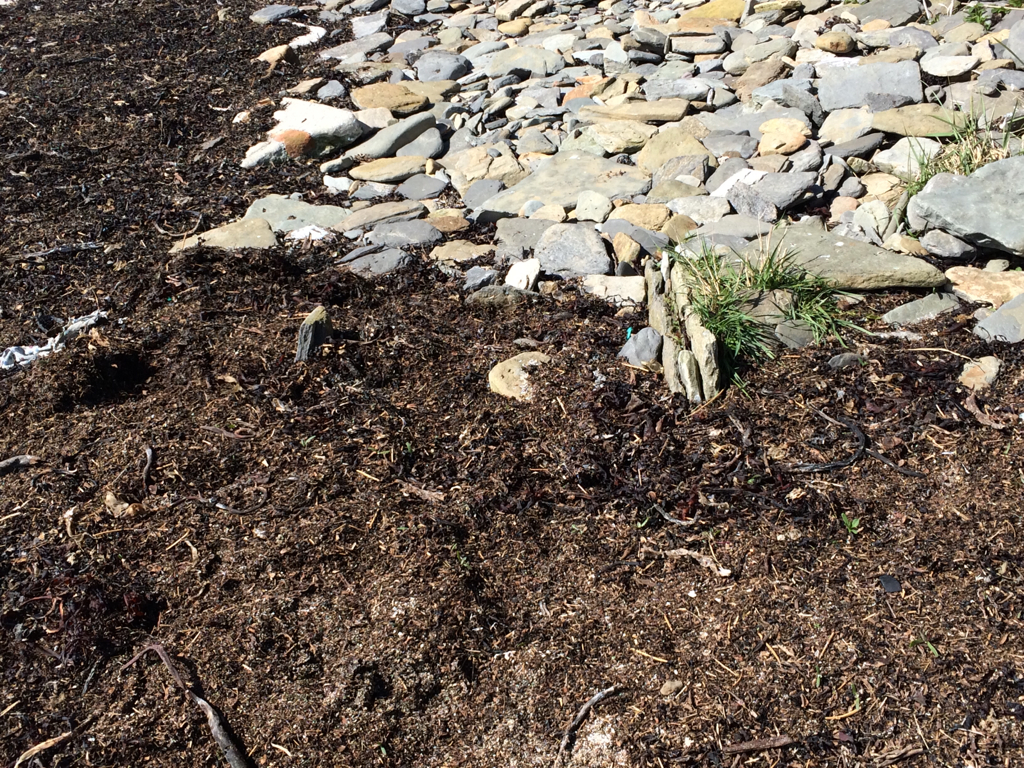
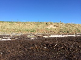
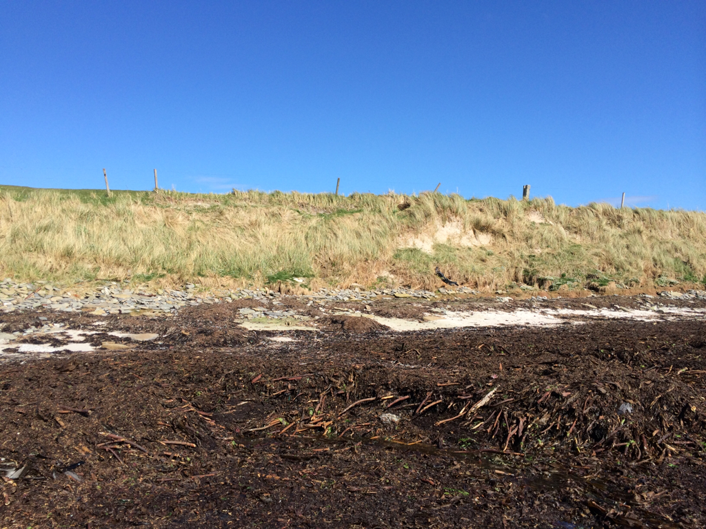
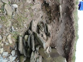
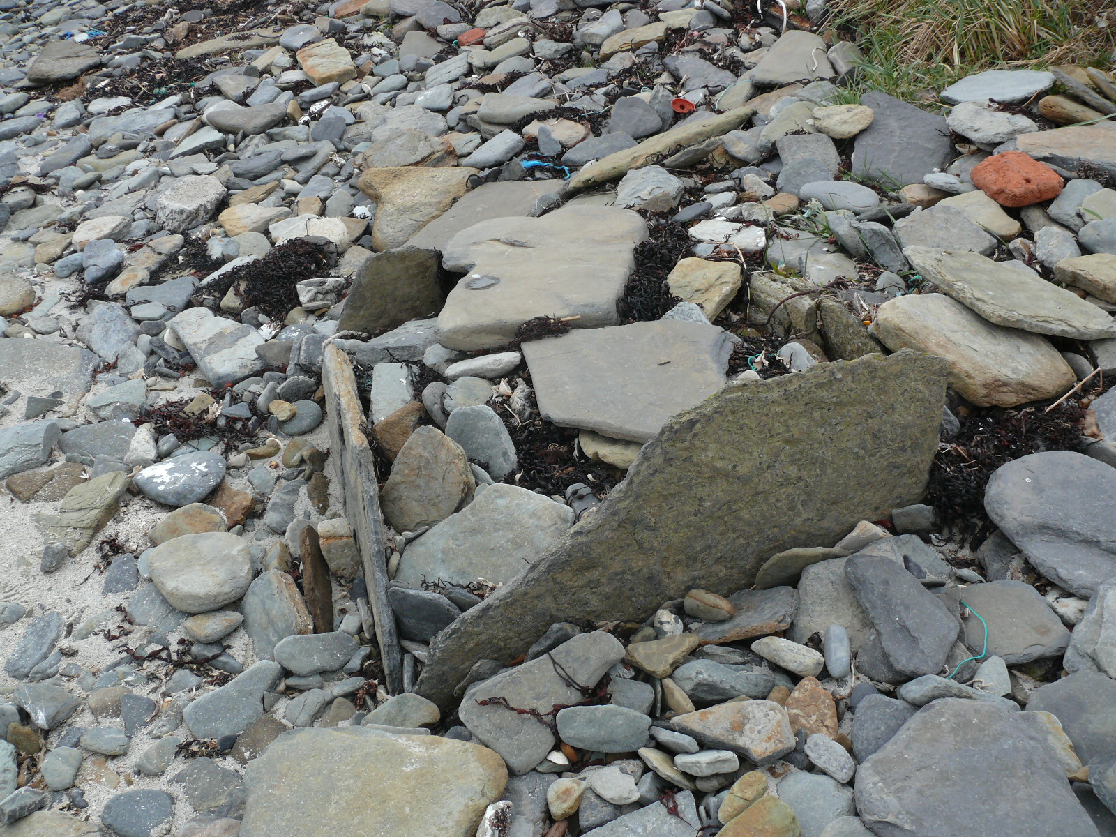
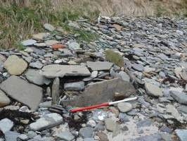
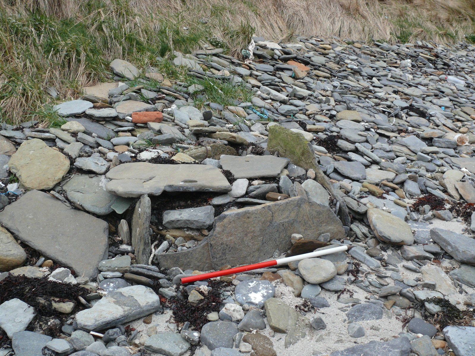
| Cist like structure. 4 edge set stones forming an enclosed rectangle, measuring 1.3m N-S by 0.9m E-W. Excavated in 2000 prior to being lost to marine erosion. The cist contained a crouched inhumation with lithics and some pot sherds. Radiocarbon dating of the human bone dated the burial to 1950-1730BC (Bronze Age). Now at/below high tide line. Set amongst/filled with beach pebbles/stone. ShoreUPDATE 4 May 2015 Filled with beach stones and seaweed, only top edge of one stone visible |
Location
| 375835.00 | |
| 1043977.00 | |
| 27700 | |
| 59.2815819 | |
| -2.4258194 |
Submitted photographs
| Image | Date | Caption | User |
|---|---|---|---|
|
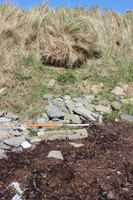
04/05/2015 | Lopness cist structure, showing the exposed edges of the upright stones | training1 |

|
|||
|
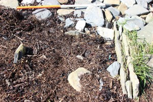
04/05/2015 | Lopness cist structure, showing the exposed upper edge of one of the upright slabs. | training1 |
|
|||
|
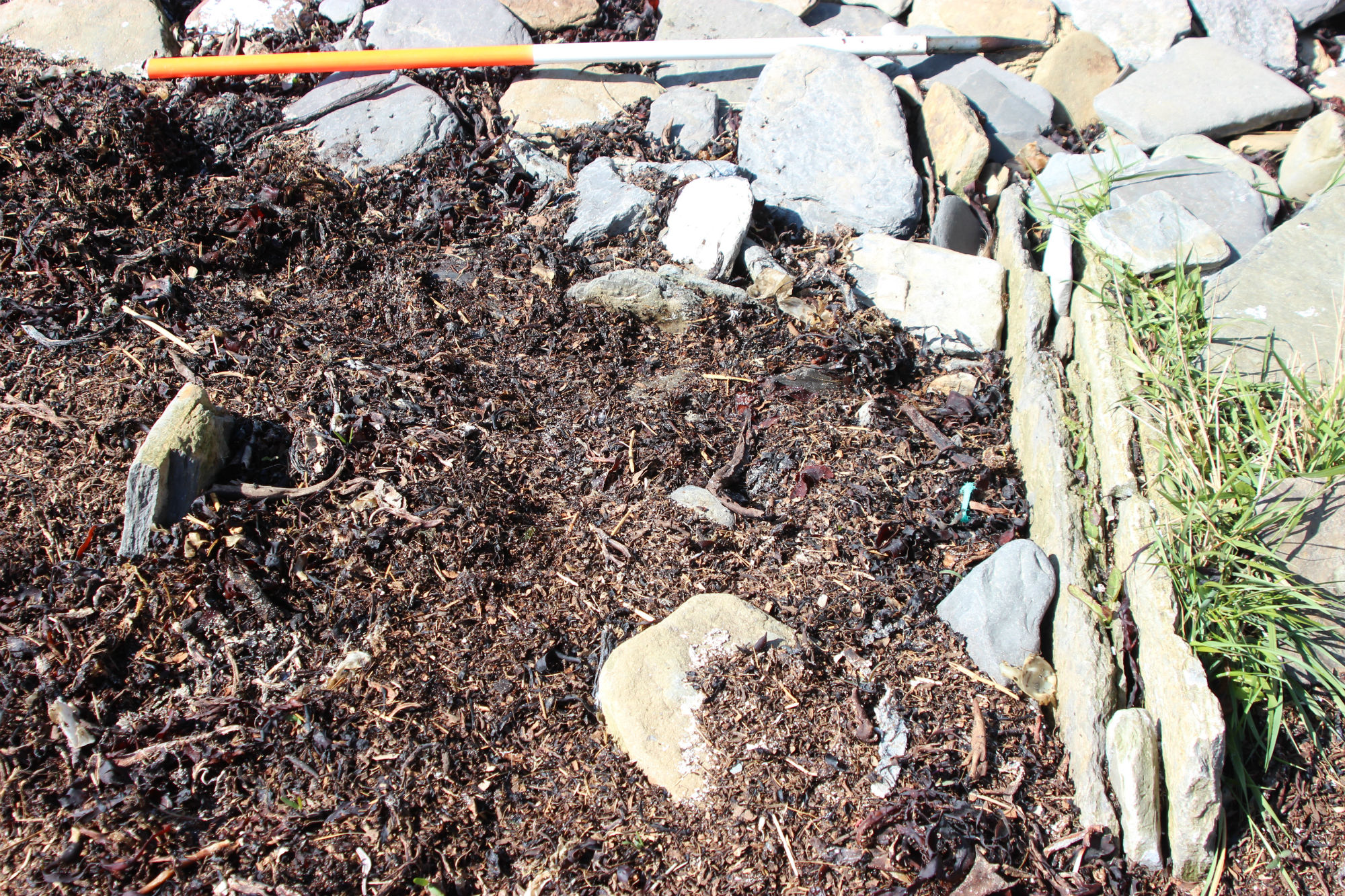
04/05/2015 | Lopness cist structure | training1 |
|
|||
|
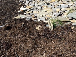
04/05/2015 | Lopness cist structure | training1 |
|
|||
|
21/04/2013 | cist3 | kirkhall |

|
|||

|
21/04/2013 | cist2 | kirkhall |
|
|||
|
21/04/2013 | cist1 | kirkhall |
|
|||
Submitted updates
| Update id | Date | User | ||||||||||||||||||||||||
|---|---|---|---|---|---|---|---|---|---|---|---|---|---|---|---|---|---|---|---|---|---|---|---|---|---|---|
| 894 | 21/04/2013 | kirkhall | ||||||||||||||||||||||||
|
||||||||||||||||||||||||||