Wig Bay flying boat slipway (12372)
Condition
| 3 | |
| Slipway | |
| Second World War | |
| 91781 | |
| MDG26911 | |
| Dumfries and Galloway |
Description
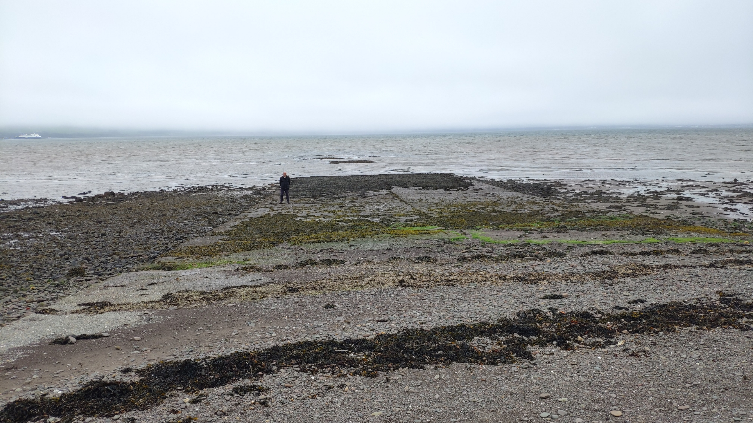
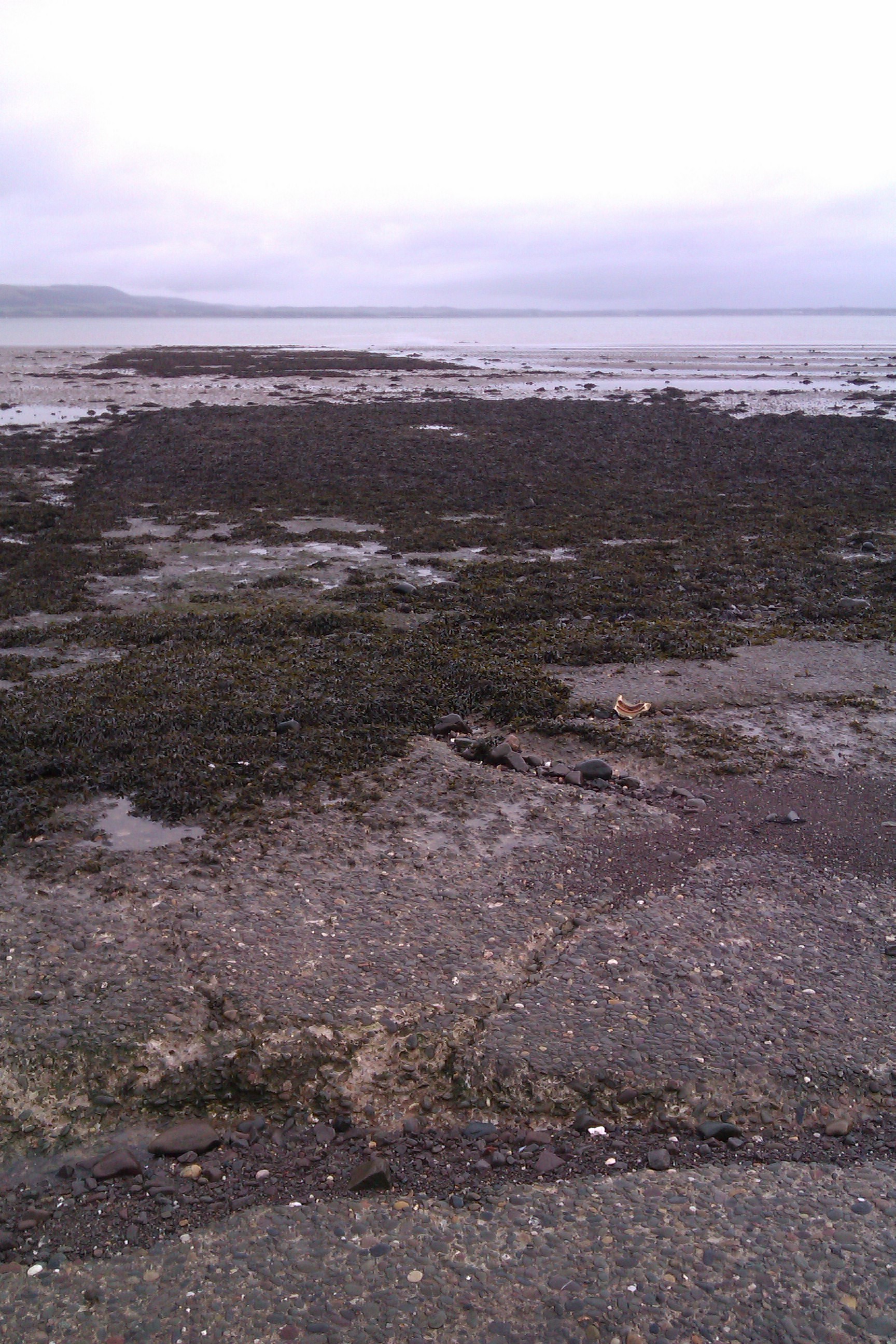
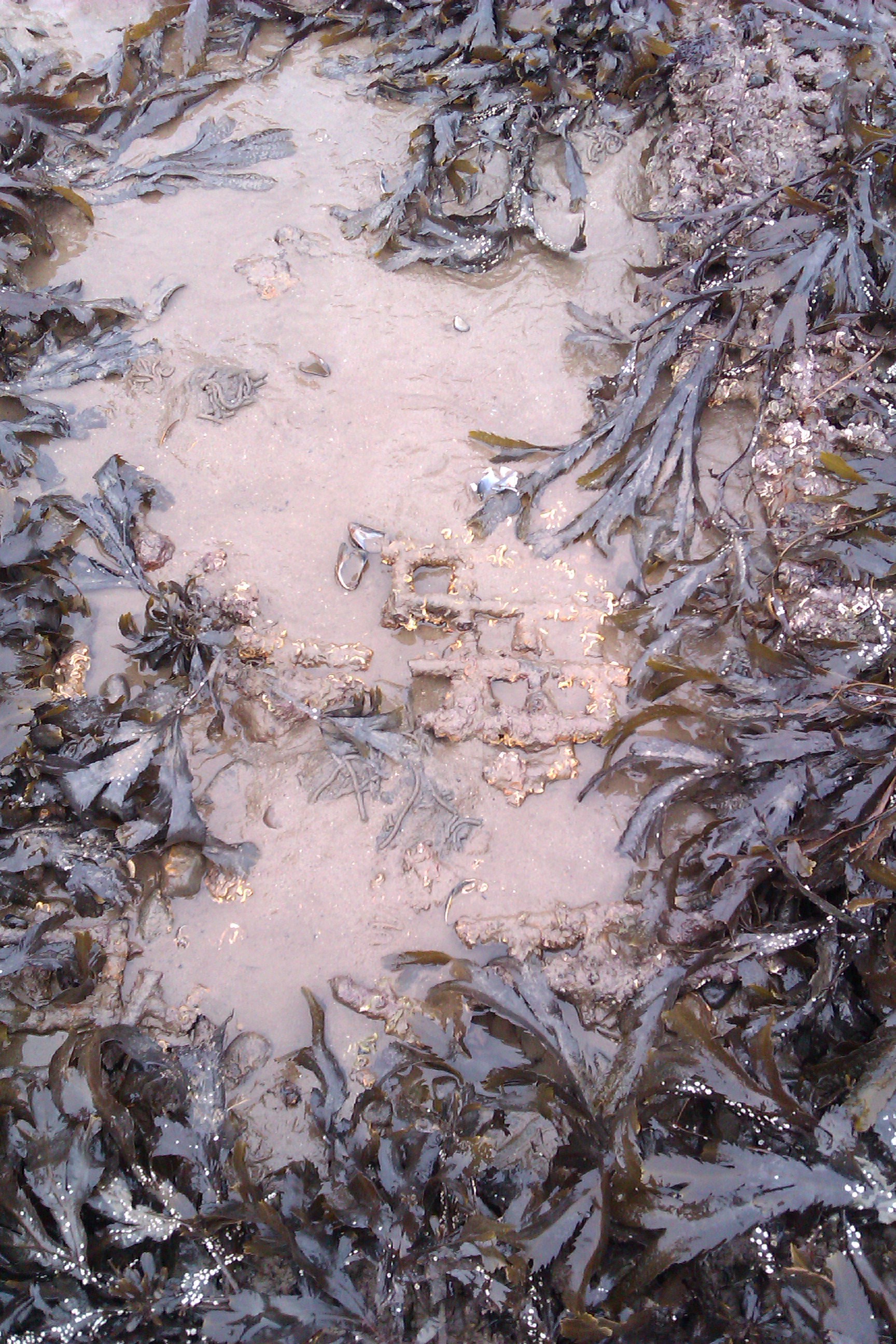
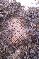
| WW2 Flying boat slip way used for hauling the flying boats out of the loch for servicing and maintenance. Concrete slip way with metal mesh extension. 17m wide, constructed of concrete pads measuring 7.5m by 6m, with bitumen a joints between each pad. The concrete sits on top of an Fe mesh base, which is visible beyond the edge of the concrete for c.1m on the east side of the structure, with Fe edging at the join where the mesh meets the concrete. On the west side of the slipway, a wooden base and uprights are visible beneath the concrete pads. Towards the seaward end of the slipway, more of the underlying mesh is visible, this appears to be the original surface of the lower part of the slipway. At the coast edge a storm beach has formed, covering the concrete. Above this, the furthest landward part of the slipway now functions as a car park. |
| As described. Photographs taken 1.5 hours before low tide. |
Location
| 203339.00 | |
| 567632.00 | |
| 27700 | |
| 54.9644051 | |
| -5.0735631 |
Submitted photographs
| Image | Date | Caption | User |
|---|---|---|---|
|
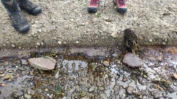
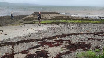
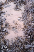
11/08/2023 | Iron mesh visible at edge of slipway | joannahambly |
|
|||
|
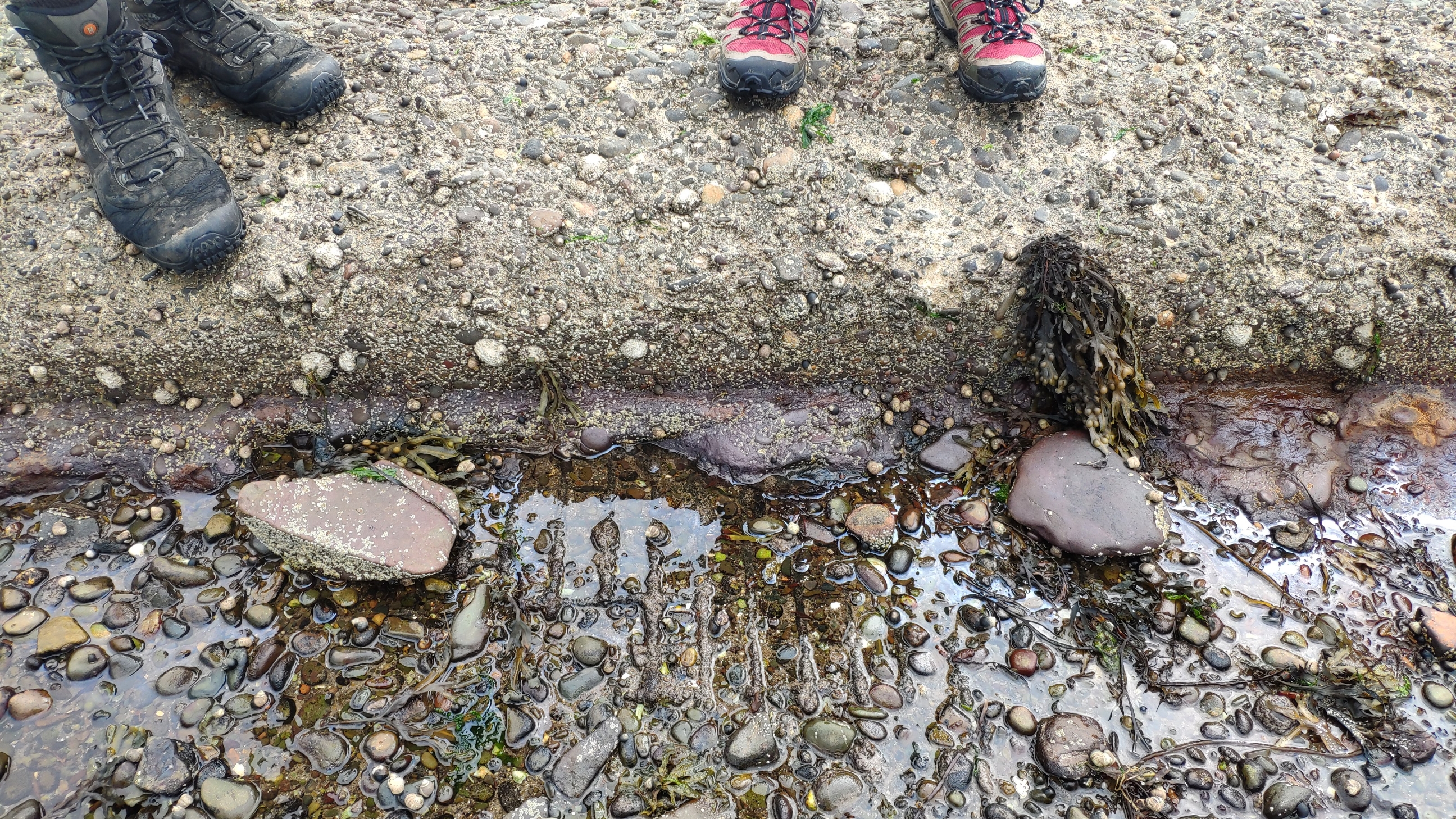
11/08/2023 | Iron mesh visible at edge of slipway | joannahambly |
|
|||
|
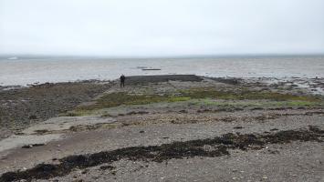
11/08/2023 | View of concrete slipway, looking SE | joannahambly |

|
|||
|
19/04/2023 | Flying boat slipway | joannahambly |
|
|||
|
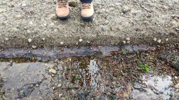
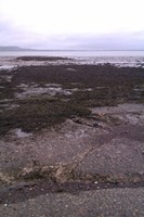
07/02/2013 | Concrete slip way | charliex1 |
|
|||
|
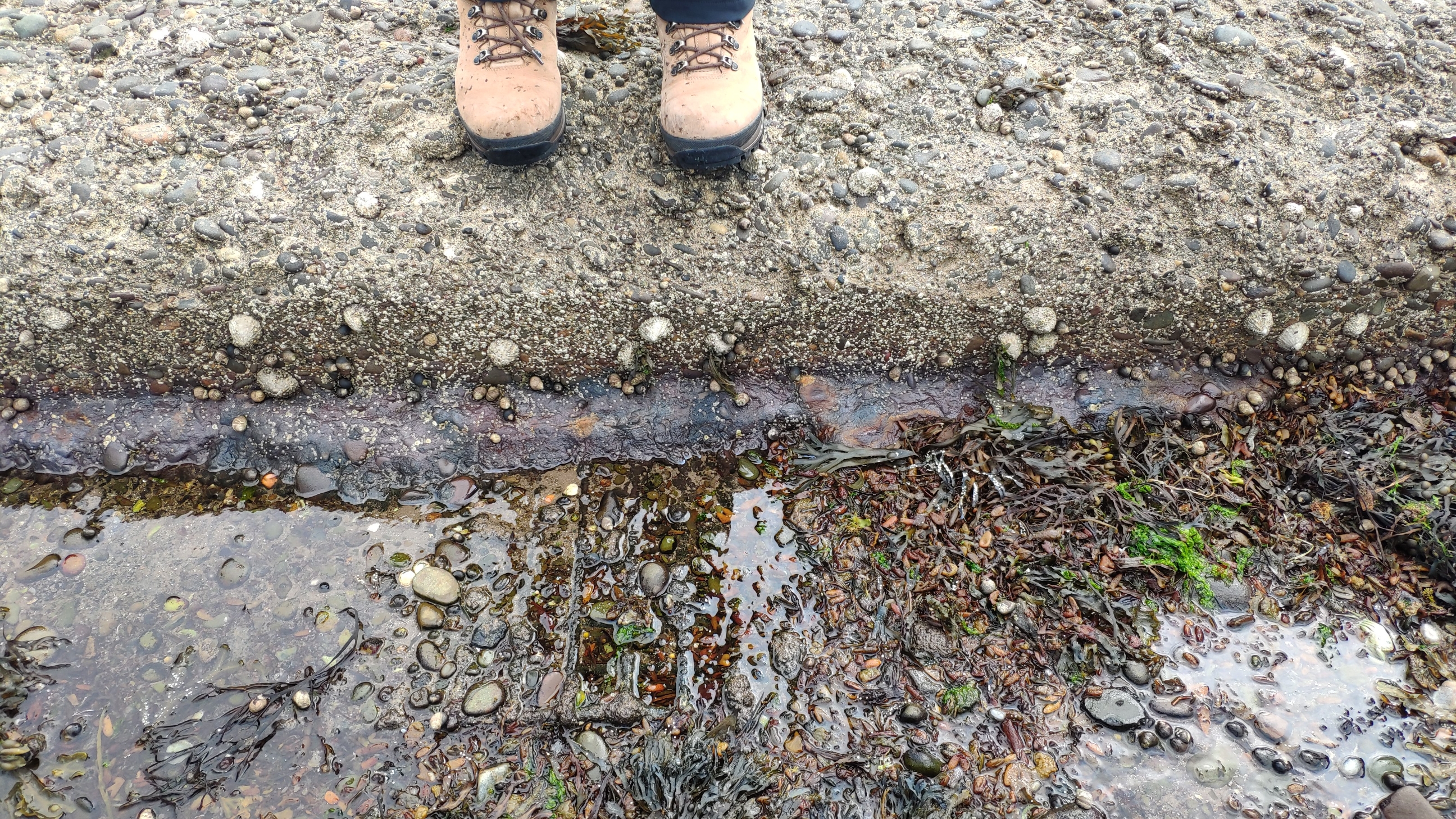
07/02/2013 | Eroded mesh | charliex1 |
|
|||
|
07/02/2013 | metal mesh | charliex1 |

|
|||
Submitted updates
| Update id | Date | User | ||||||||||||||||||||||||
|---|---|---|---|---|---|---|---|---|---|---|---|---|---|---|---|---|---|---|---|---|---|---|---|---|---|---|
| 4532 | 11/08/2023 | joannahambly | ||||||||||||||||||||||||
|
||||||||||||||||||||||||||
| 4474 | 19/04/2023 | joannahambly | ||||||||||||||||||||||||
|
||||||||||||||||||||||||||
| 726 | 07/02/2013 | charliex1 | ||||||||||||||||||||||||
|
||||||||||||||||||||||||||