Rifle range, Golspie Links (11903)
Condition
| 6 | |
| FIRING RANGE | |
| Modern | |
| MHG30264 | |
| Highland |
Description
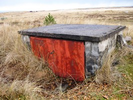
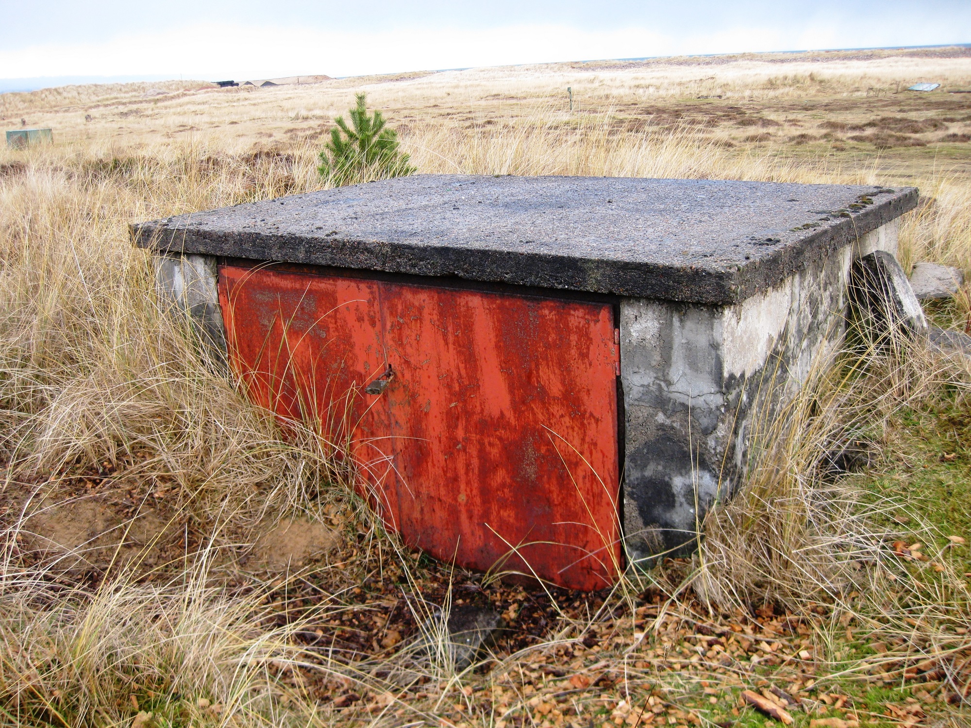
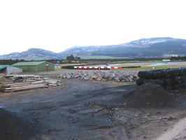
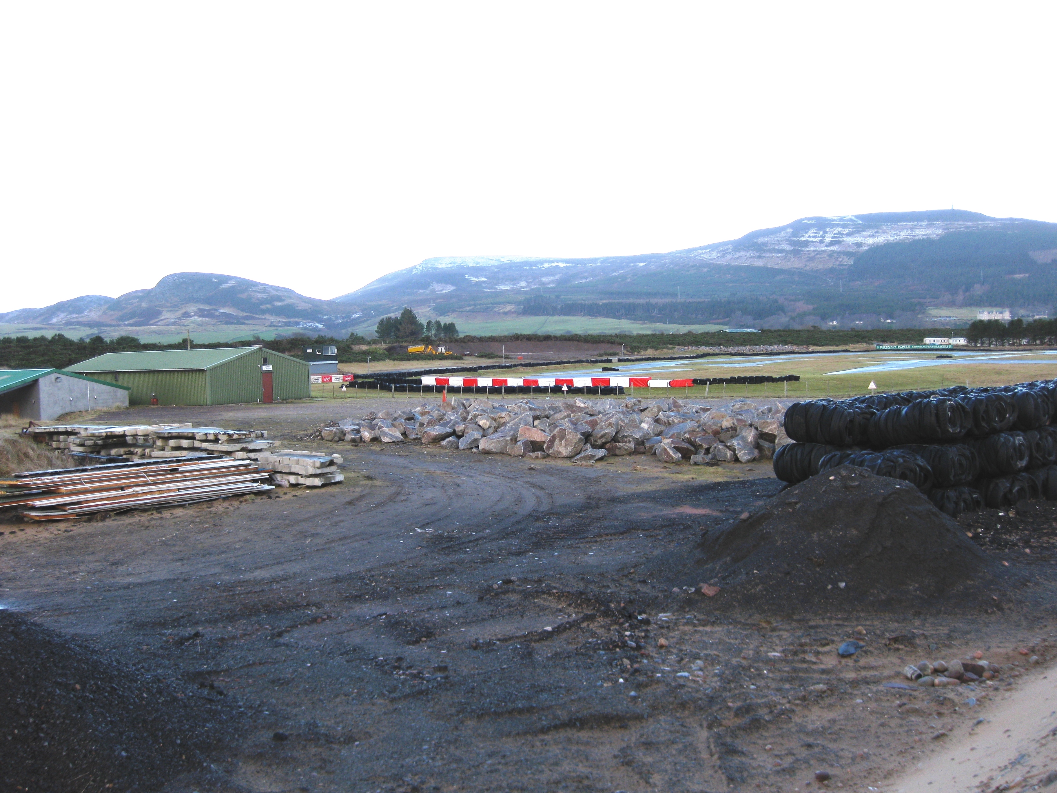
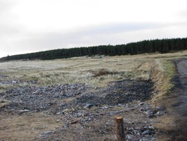
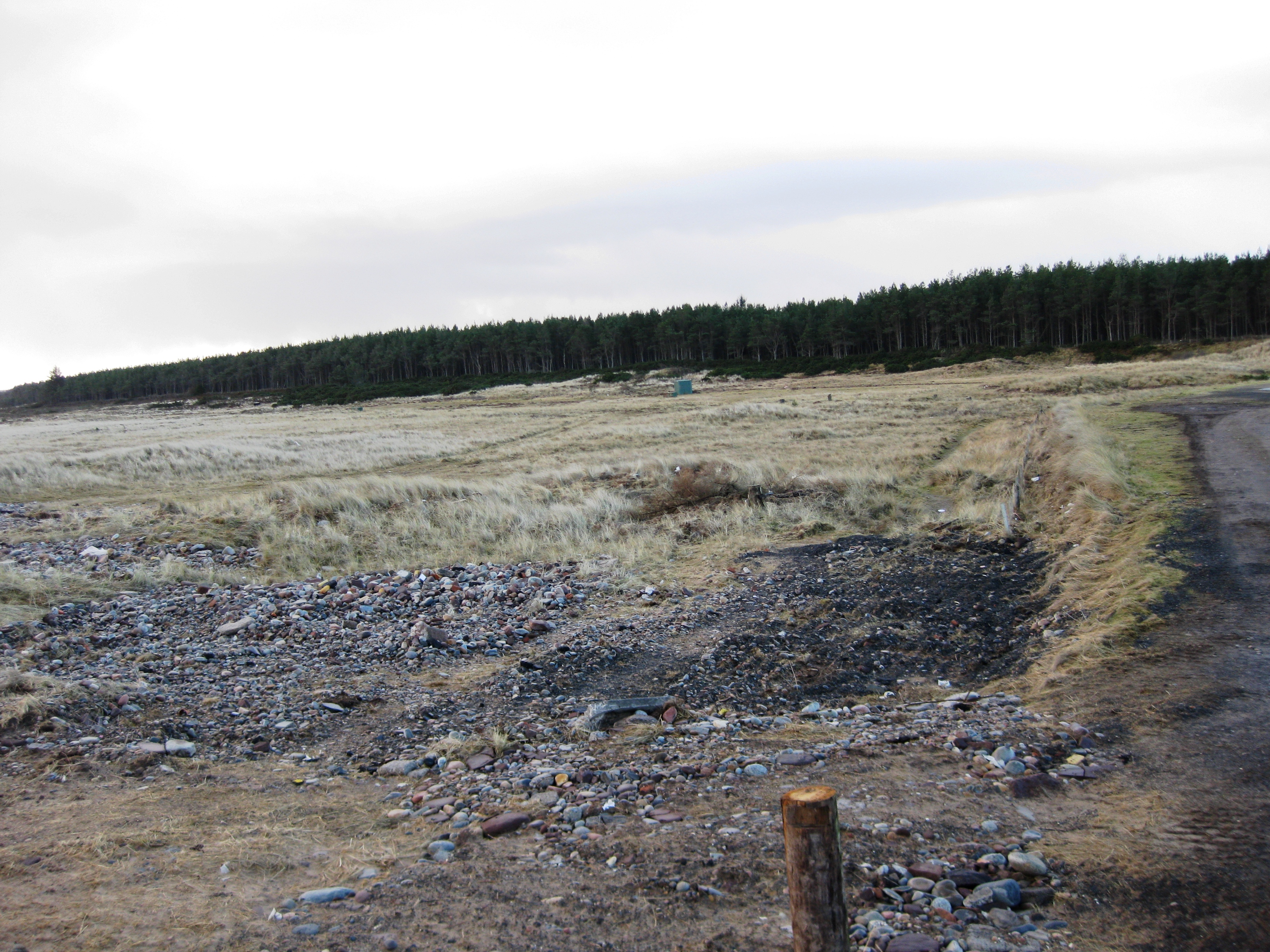
| All that was visible of the firing range at the time of survey was an elongated sandy mound covered in maram grass. It was orientated E-W and measured c. 60 m by 15 m and existed to c. 2.5 m in height. This is presumably the target end of the range with the mound stopping the bullets. A Go Kart track has been built to the N. Researched in 2001 by Annette Jack. HER Record MHG30264 There are 3 amunition boxes, made of steel and concrete blocks. |
Location
| 282100.00 | |
| 897600.00 | |
| 27700 | |
| 57.9520454 | |
| -3.9937451 |
Submitted photographs
| Image | Date | Caption | User |
|---|---|---|---|
|
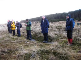
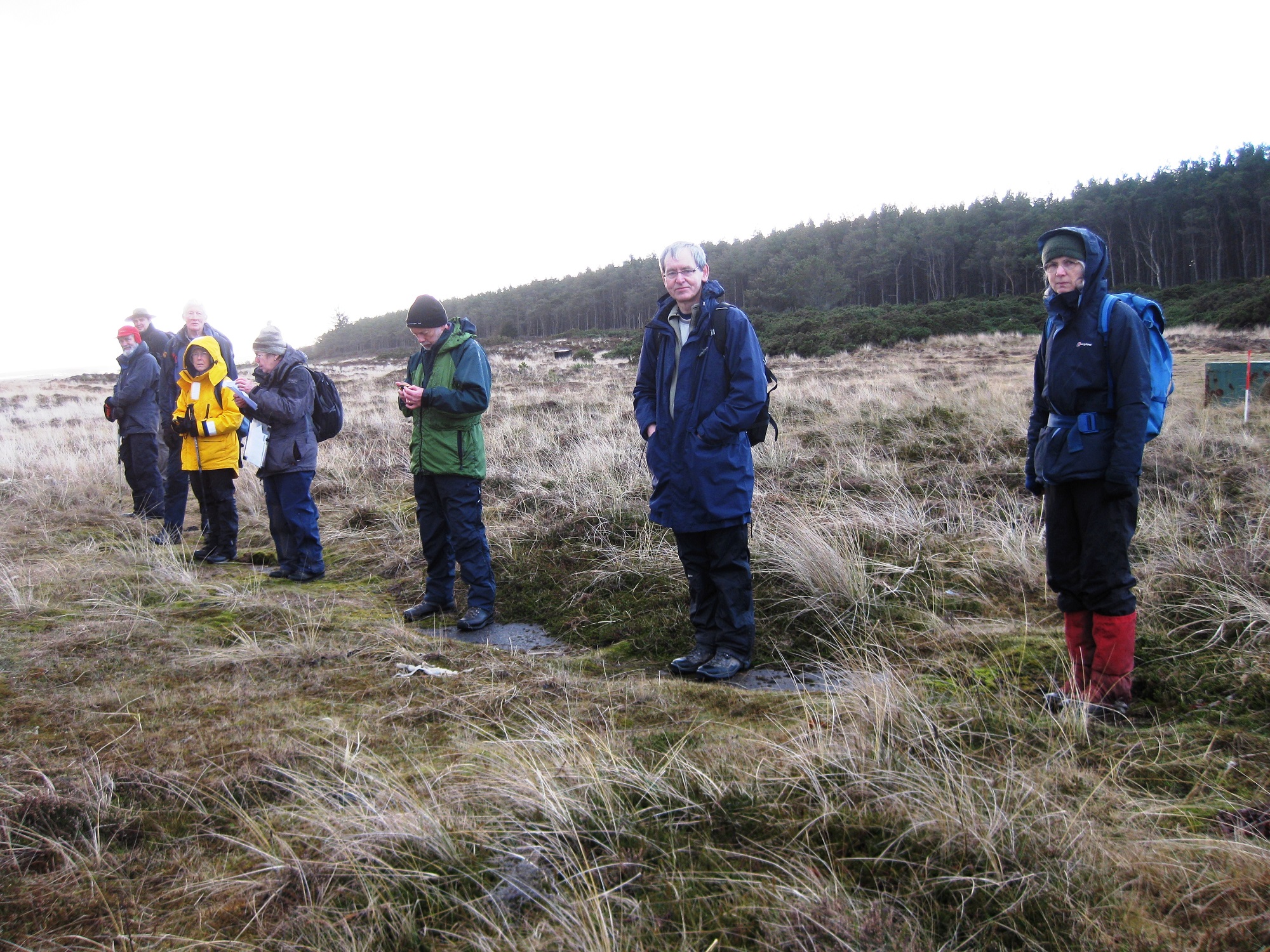
20/05/2013 | Slabs and tarmac with metal sockets in ground in an arc to fire a gun (this is where the NOSAS members are stood) photo taken facing west | training1 |
|
|||
|
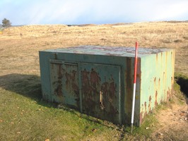
20/05/2013 | Amunition concrete block with metal doors photo taken facing north east | training1 |
|
|||
|
20/05/2013 | Amunition metal box photo taken facing north east | training1 |

|
|||
|
06/02/2013 | Golspie Links, Rifle Range | JonieCG |
|
|||
|
06/02/2013 | Golspie Links, Rifle Range | JonieCG |
|
|||
Submitted updates
| Update id | Date | User | ||||||||||||||||||||||||||
|---|---|---|---|---|---|---|---|---|---|---|---|---|---|---|---|---|---|---|---|---|---|---|---|---|---|---|---|---|
| 945 | 06/02/2013 | JonieCG | ||||||||||||||||||||||||||
|
||||||||||||||||||||||||||||