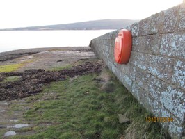
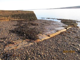
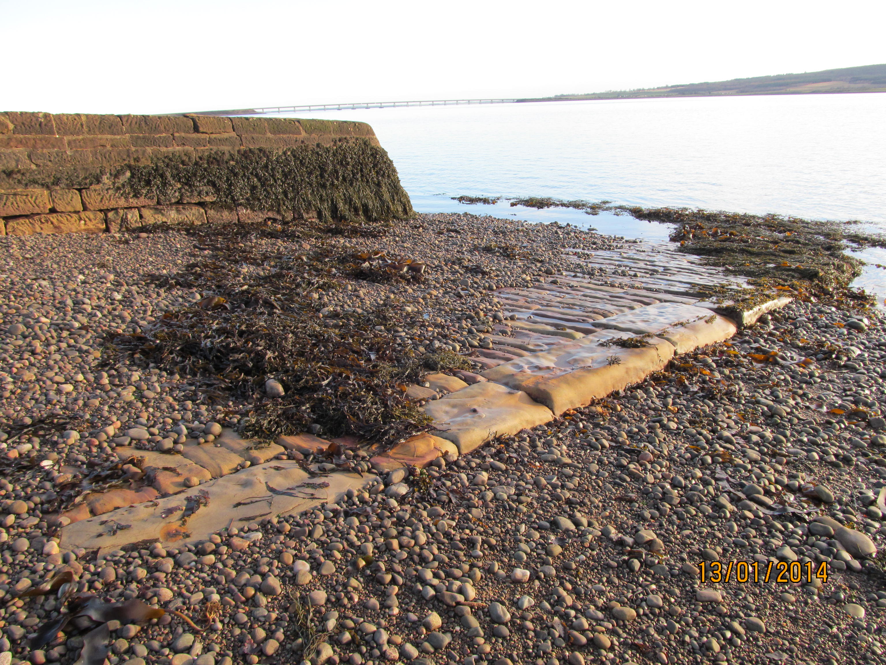
Condition

6
PIER
Post-Medieval
14662
MHG11797
Highland

Description

Stone set ramp with 2 m high wall on western side. Ramp is 7 m wide & approx. 25 m long. Descends at a gradual gradient into the sea. ShoreUPDATE 13/01/2014: Pier associated with Meikle Ferry disaster of 16/08/1809 where 99 people died when the overloaded ferry capsized.

Location

272887.00
886959.00
27700
57.8540001
-4.1435924

Submitted photographs

Image Date Caption User
Meikle Ferry Pier 13/01/2014 Meikle Ferry Pier JonieCG
Meikle Ferry Pier
Meikle Ferry Pier 13/01/2014 Meikle Ferry Pier JonieCG
Meikle Ferry Pier

Submitted updates

Update id Date User
1532 13/01/2014 JonieCG
Tidal state Mid
Site located? Yes
Proximity to coast edge Intertidal
Coastally eroding? active sea erosion
Threats vegetation growth
Visibility above ground Highly visible (substantial remains)
Visibility in section Clearly visible in section
Access easily accessible - no restrictions; vehicular access
Local knowledge is well known; has local associations/history
Description Stone set ramp with 2 m high wall on western side. Ramp is 7 m wide & approx. 25 m long. Descends at a gradual gradient into the sea.

Pin It on Pinterest